
 Back to Kiribati Directory Page

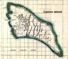
Canton Island Map
Near kiribati
648 × 565•62 KB•JPG
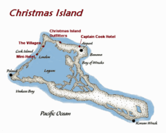
Christmas (Kiribati) island Map
500 × 400•47 KB•GIF
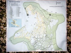
Christmas Island Bonefish Flats Map
Near Kiritimati
1600 × 1200•473 KB•JPG
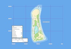
Enderbury atoll Map
Near Kiribati
650 × 450•29 KB•JPG
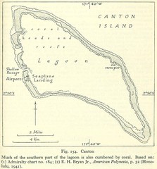
Kanton atoll Map
Near kanton island
639 × 688•111 KB•JPG
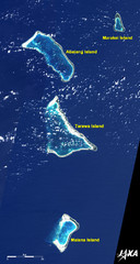
Kiribati Islands Map
Kiribati satellite image of Kiribati Islands of Tarawa Island, Abaiang Island, Marakei Island, and...
Near Tarawa Island, Kiribati
2000 × 3750•4.2 MB•JPG
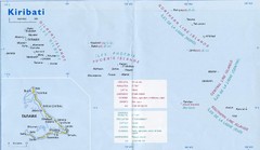
Kiribati Overview Map
Overview map of Pacific country of Kiribati. Kiribati is a Micronesian country made up of 33 low...
Near Kiribati
1477 × 857•124 KB•JPG
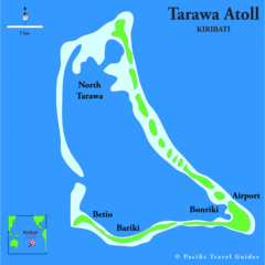
Tarawa atoll Map
Near tarawa
695 × 694•24 KB•GIF
page 1 of 1


 Explore Maps
 Map Directory
