
 Edit this map

Canton Island Map
near kiribati

 See more

Nearby Maps
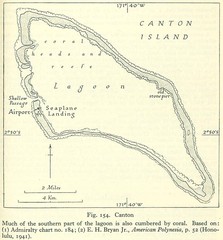
Kanton atoll Map
2 miles away
Near kanton island
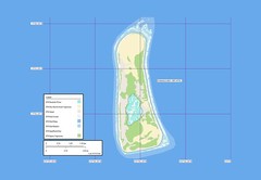
Enderbury atoll Map
45 miles away
Near Kiribati
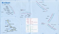
Kiribati Overview Map
Overview map of Pacific country of Kiribati. Kiribati is a Micronesian country made up of 33 low...
129 miles away
Near Kiribati
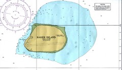
Baker Island Nautical Map
Nautical map of US unincorporated territory of Baker Island.
393 miles away
Near Baker Island
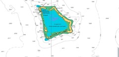
Atafu atoll Map
400 miles away
Near tokelau
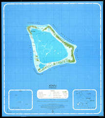
Atafu Map
401 miles away
Near Atafu, Tokelau

 See more


 Explore Maps
 Map Directory
 click for
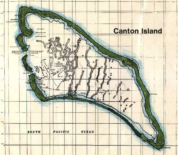
 Fullsize

0 Comments
New comments have been temporarily disabled.