
Kern County Boat Ramps Locator Map
The numbered locations can be found at http://www.boatrampslocator.com/california-kern-county-boat...
224 miles away
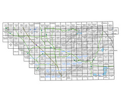
Awareness Floodplain Maps, Kern County Map
The maps labeled in blue have completed Awareness Floodplain Maps. The maps labeled in black are...
224 miles away

Kern County Map
224 miles away
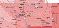
Bakersfield's Location in Kern County Map
224 miles away
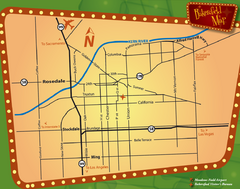
Bakersfield Overview Map
Shows major streets and highways in Bakersfield, CA
224 miles away
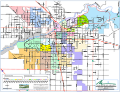
Bakersfield Police Beats Map
224 miles away

Bakersfield California 1889 Map
Map of Bakersfield, CA, showing the first subdivision of lands belonging to J. B. Haggin, 1889
224 miles away

Bakersfield E Zone map
City of Bakersfield Economic & Community Development supports economic diversity, civic growth...
224 miles away
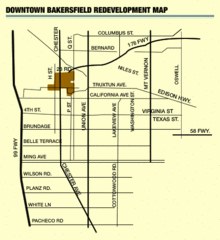
Downtown Bakersfield Redevelopment Area Map
The Downtown Redevelopment Area was established in 1972 and expanded in 1974, 1976, and 1979. It...
224 miles away

Orange Grove RV Park, Bakersfield California Map
224 miles away

Bakersfield City Limits Map
224 miles away
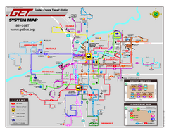
Bakersfield California Bus System Map (G.E.T. Bus)
Entire system map of all routes Golden Empire Transit offers in the City of Bakersfield, California.
224 miles away
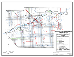
Metropolitan Bakersfield General Plan &ndash...
This map depicts the Circulation Element of the Metropolitan Bakersfield General Plan. This is a...
224 miles away
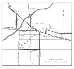
Bakersfield, 1944 Map
Official California State Division of Highways Map
224 miles away
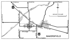
Bakersfield, 1934 Map
Official California State Division of Highways Map
224 miles away
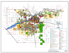
City of Bakersfield Zoning Map
This map depicts zoning for the City of Bakersfield. This map is not the official zoning map for...
224 miles away

Bakersfield College Campus Map
Bakersfield College Campus Map. All buildings shown.
224 miles away
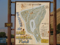
Hart Memorial Park Map
225 miles away
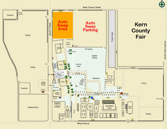
Bakersfield's Auto Swap Meet Map
226 miles away
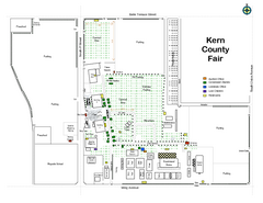
Kern County Fair Map
226 miles away
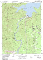
Shasta Dam Quad - Shasta Lake Map
Topographic map, Shasta Dam Quadrangle, California 1969. Area of map includes a portion of Shasta...
227 miles away
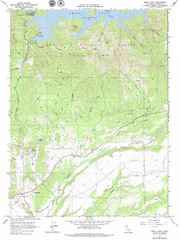
Bella Vista Quad - Shasta Lake Map
Topographic map, Bella Vista Quadrangle, California 1976. Area of map includes a portion of Shasta...
227 miles away

Lake Ming Area Map
Lake Ming is located 10 miles northeast of Bakersfield, off of Hwy. 178 along Alfred Harrell Hwy...
228 miles away

Lower Kern River Map
This portion of the Kern River extends from the Lower Richbar picnic area to Hart Park. Although...
228 miles away
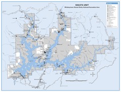
Shasta Unit - Whiskeytown-Shasta-Trinity National...
Map of Shasta Lake, California, showing roads, campgrounds, marinas and resorts, hiking and biking...
229 miles away
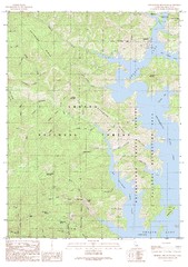
Bohemotash Mountain Quad - Shasta Lake Map
Topographic map, Bohemotash Mountain Quadrangle, California 1990. Area of map includes a portion of...
229 miles away
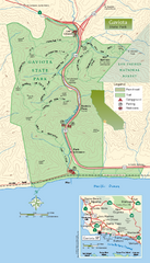
Gaviota State Park Zoom Map
Zoom map of park with detail of trails and recreation zones
230 miles away
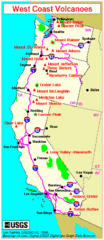
Major West Coast Volcanoes (Washington, Oregon...
230 miles away
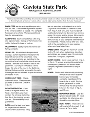
Gaviota State Park Campground Map
Map of campground region of park with detail of trails and recreation zones
230 miles away
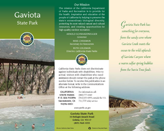
Gaviota State Park Map
Map of park with detail of trails and recreation zones
230 miles away
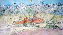
Lone Pine Map
Panorama tourist map of town of Lone Pine, California with surrounding area including the Alabama...
231 miles away
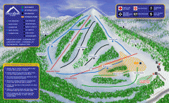
Alta Sierra at Shirley Meadows Ski Trail Map
Official ski trail map of Alta Sierra at Shirley Meadows ski area
231 miles away

Weaverville Joss House State Historic Park Map
Map of park with detail of trails and recreation zones
231 miles away
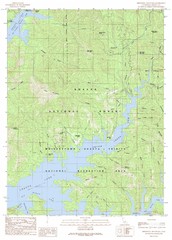
Minnesota Mountain Quad - Shasta Lake Map
Topographic map, Minnesota Mountain Quadrangle, California 1990. Area of map includes a portion of...
232 miles away

Upper Kern River Area Map
This beautiful 35 mile stretch of the Upper Kern River from Lake Isabella to Quaking Aspen offers a...
232 miles away
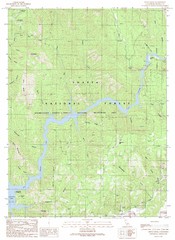
Devils Rock Quad - Shasta Lake Map
Topographic map, Devils Rock Quadrangle, California 1990. Area of map includes a portion of Shasta...
232 miles away
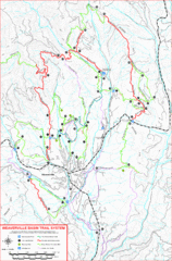
Weaverville Basin Trail System Map
Guide to trails near Weaverville, CA
232 miles away
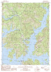
O'Brien Quad - Shasta Lake Map
Topographic map, O'Brien Quadrangle, California 1990. Area of map includes a portion of Shasta...
232 miles away
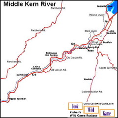
Middle Kern River Area Map
This majestic, rugged, canyon portion of the Kern River extends from Lake Isabella to the Upper...
234 miles away
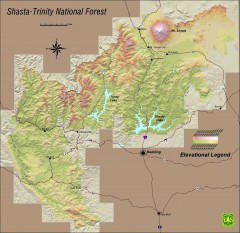
Shasta Trinity National Forest Elevation Map
Shaded relief map of Shasta-Trinity National Forest in northern California
235 miles away

