
 Edit this map

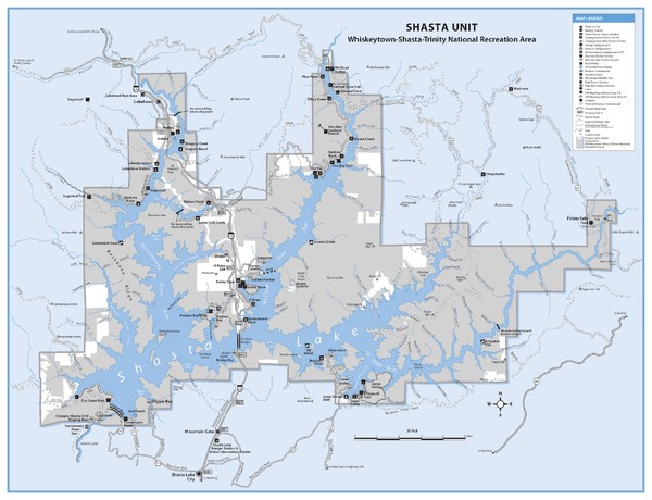
Shasta Unit - Whiskeytown-Shasta-Trinity National Recreation Area Map
near shasta dam, ca
View Location
Map of Shasta Lake, California, showing roads, campgrounds, marinas and resorts, hiking and biking trails and more.
See an error? Report it.
Keywords
tourism, shasta, lake, boating, camping, hiking, fishing, recreation, vacation, houseboats, california, dam, shasta247
 See more

Nearby Maps
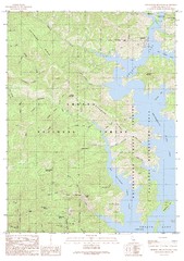
Bohemotash Mountain Quad - Shasta Lake Map
Topographic map, Bohemotash Mountain Quadrangle, California 1990. Area of map includes a portion of...
3 miles away
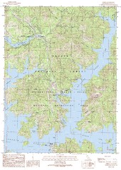
O'Brien Quad - Shasta Lake Map
Topographic map, O'Brien Quadrangle, California 1990. Area of map includes a portion of Shasta...
4 miles away
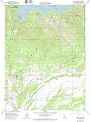
Bella Vista Quad - Shasta Lake Map
Topographic map, Bella Vista Quadrangle, California 1976. Area of map includes a portion of Shasta...
5 miles away
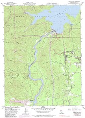
Shasta Dam Quad - Shasta Lake Map
Topographic map, Shasta Dam Quadrangle, California 1969. Area of map includes a portion of Shasta...
6 miles away
Minnesota Mountain Quad - Shasta Lake Map
Topographic map, Minnesota Mountain Quadrangle, California 1990. Area of map includes a portion of...
7 miles away
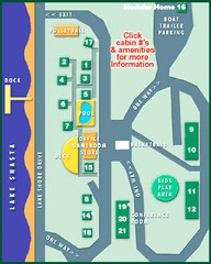
Tsasdi Resort - Shasta Lake Map
Map of the grounds of Tsasdi Resort, lakehead, CA.
9 miles away

 See more


 Explore Maps
 Map Directory
 click for
 Fullsize

0 Comments
New comments have been temporarily disabled.