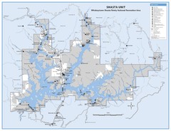
Shasta Unit - Whiskeytown-Shasta-Trinity National...
Map of Shasta Lake, California, showing roads, campgrounds, marinas and resorts, hiking and biking...
0 miles away
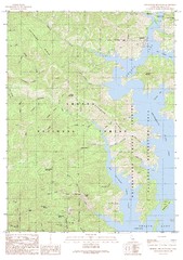
Bohemotash Mountain Quad - Shasta Lake Map
Topographic map, Bohemotash Mountain Quadrangle, California 1990. Area of map includes a portion of...
3 miles away
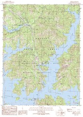
O'Brien Quad - Shasta Lake Map
Topographic map, O'Brien Quadrangle, California 1990. Area of map includes a portion of Shasta...
4 miles away
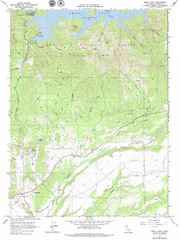
Bella Vista Quad - Shasta Lake Map
Topographic map, Bella Vista Quadrangle, California 1976. Area of map includes a portion of Shasta...
5 miles away
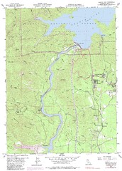
Shasta Dam Quad - Shasta Lake Map
Topographic map, Shasta Dam Quadrangle, California 1969. Area of map includes a portion of Shasta...
6 miles away
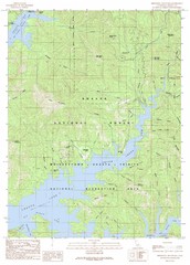
Minnesota Mountain Quad - Shasta Lake Map
Topographic map, Minnesota Mountain Quadrangle, California 1990. Area of map includes a portion of...
7 miles away
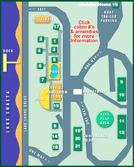
Tsasdi Resort - Shasta Lake Map
Map of the grounds of Tsasdi Resort, lakehead, CA.
9 miles away
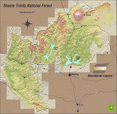
Shasta Trinity National Forest Elevation Map
Shaded relief map of Shasta-Trinity National Forest in northern California
9 miles away
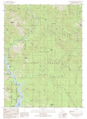
Bollibokka Mountain Quad - Shasta Lake Map
Topographic map, Bollibokka Mountain Quadrangle, California 1990. Area of map includes a portion of...
11 miles away
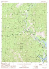
Lamoine Quad - Shasta Lake Map
Topographic map, Lamoine Quadrangle, California 1990. Area of map includes a portion of Shasta Lake...
11 miles away
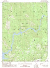
Devils Rock Quad - Shasta Lake Map
Topographic map, Devils Rock Quadrangle, California 1990. Area of map includes a portion of Shasta...
13 miles away
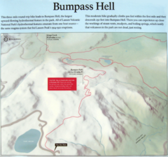
Bumpass Hell Trail Map
Trail map of route to Bumpass Hell, a major area of geo-thermal activity in Lassen National Park...
47 miles away
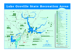
Lake Oroville State Recreation Area Map
Recreation overview map of Lake Oroville State Recreation Area near Oroville, California. Show all...
91 miles away
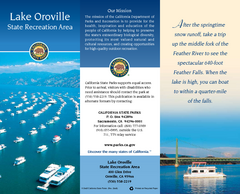
Lake Oroville State Recreation Area Map
Map of recreation area with detail of trails and recreation zones
92 miles away
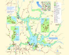
Lake Oroville State Recreation Area Map
Map of recreation area with detail of trails and recreation zones
92 miles away
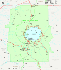
Crater Lake National Park official map
Official map of Crater Lake National Park. Shows hiking trails, elevations of peaks, roads, and...
151 miles away
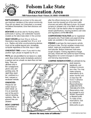
Folsom Lake State Recreation Area Campground Map
Map of park with detail of trails and recreation zones
154 miles away
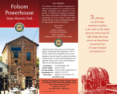
Folsom Powerhouse State Historic Park Map
Map of park with detail of trails and recreation zones
154 miles away
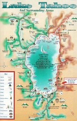
Lake Tahoe and nearby activities Map
Lake Tahoe and nearby resorts and activities
167 miles away
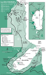
Emerald Bay State Park and DL Bliss State Park...
Trail map of Emerald Bay State Park and DL Bliss State Park on the shores of Lake Tahoe, California
171 miles away
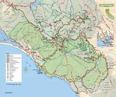
Mount Tamalpais State Park Map
Topographic trail map of Mt Tamalpais State Park in Marin County, California.
198 miles away
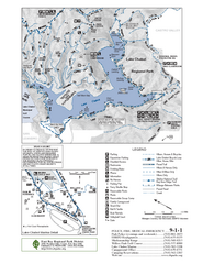
Lake Chabot Trail Map
210 miles away
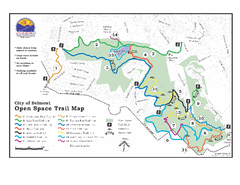
Water Dog Lake Park Trail Map
Trail map of Water Dog Lake Park. Open to mountain biking.
225 miles away
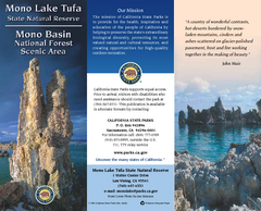
Mono Lake Tufa State Natural Reserve Map
Map of reserve with detail of trails and recreation zones
260 miles away
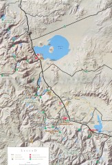
Eastern Sierra Trailhead Map - Lee Vining and...
Shows ranger stations and major trailheads in the eastern Sierra Nevada in the Mono Lake and...
269 miles away
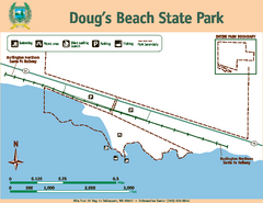
Dougs Beach State Park Map
Map of park with detail of trails and recreation zones
344 miles away
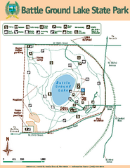
Battle Ground Lake State Park Map
Map of park with detail of trails and recreation zones
349 miles away
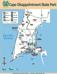
Cape Dissapointment State Park Map
Map of park with detail of trails and recreation zones
392 miles away
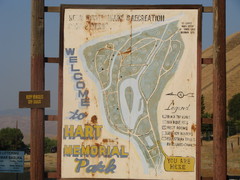
Hart Memorial Park Map
411 miles away
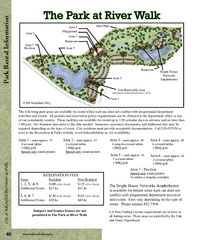
The Park at Riverwalk, Bakersfield California Map
Map of The Park at Riverwalk in Bakersfield California, including the fees for reservable areas.
412 miles away
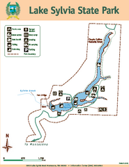
Lake Sylvia State Park Map
Map of island with detail of trails and recreation zones
437 miles away
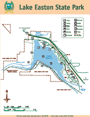
Lake Easton State Park Map
Map of island with detail of trails and recreation zones
453 miles away
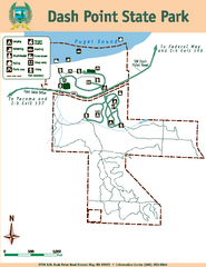
Dash Point State Park Map
Map of park with detail of trails and recreation zones
454 miles away
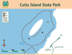
Cutts Island Stay Park Map
Map of park with detail of trails and recreation zones
455 miles away
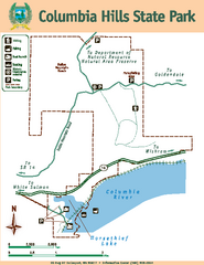
Columbia Hills State Park Map
Map of park with detail of trails and recreation zones
456 miles away
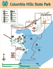
Columbia Hills State Park Map
Map of park with detail of trails and recreation zones
457 miles away
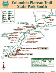
Columbia Plateau Trail State Park South Map
Map of park with detail of trails and recreation zones
461 miles away
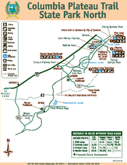
Columbia Plateau Trail State Park North Map
Map of park with detail of trails and recreation zones
461 miles away
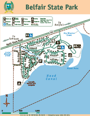
Belfair State Park Map
Map of park, with detail of trails and recreation zones
463 miles away
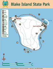
Blake Island State Park Map
Map of park with detail of trails and recreation zones
469 miles away


 Explore Maps
 Map Directory
