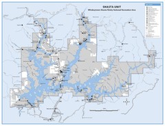
Shasta Unit - Whiskeytown-Shasta-Trinity National...
Map of Shasta Lake, California, showing roads, campgrounds, marinas and resorts, hiking and biking...
0 miles away
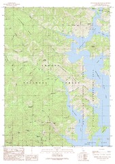
Bohemotash Mountain Quad - Shasta Lake Map
Topographic map, Bohemotash Mountain Quadrangle, California 1990. Area of map includes a portion of...
3 miles away
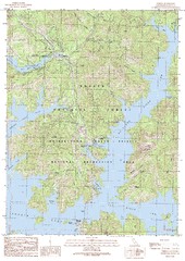
O'Brien Quad - Shasta Lake Map
Topographic map, O'Brien Quadrangle, California 1990. Area of map includes a portion of Shasta...
4 miles away
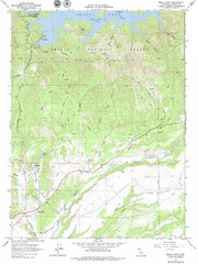
Bella Vista Quad - Shasta Lake Map
Topographic map, Bella Vista Quadrangle, California 1976. Area of map includes a portion of Shasta...
5 miles away
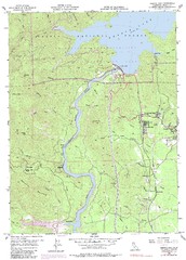
Shasta Dam Quad - Shasta Lake Map
Topographic map, Shasta Dam Quadrangle, California 1969. Area of map includes a portion of Shasta...
6 miles away
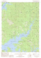
Minnesota Mountain Quad - Shasta Lake Map
Topographic map, Minnesota Mountain Quadrangle, California 1990. Area of map includes a portion of...
7 miles away
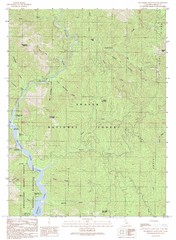
Bollibokka Mountain Quad - Shasta Lake Map
Topographic map, Bollibokka Mountain Quadrangle, California 1990. Area of map includes a portion of...
11 miles away
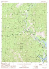
Lamoine Quad - Shasta Lake Map
Topographic map, Lamoine Quadrangle, California 1990. Area of map includes a portion of Shasta Lake...
11 miles away
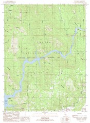
Devils Rock Quad - Shasta Lake Map
Topographic map, Devils Rock Quadrangle, California 1990. Area of map includes a portion of Shasta...
13 miles away
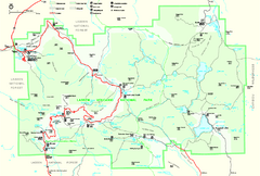
Lassen Volcanic National Park Official Park Map
Official NPS map of Lassen Volcanic National Park in California. Map shows all areas. Lassen...
50 miles away
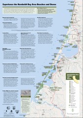
Humboldt Bay Area Beaches and Dunes Map
Humboldt Bay Beaches & Dunes Map & Guide
93 miles away
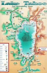
Lake Tahoe and nearby activities Map
Lake Tahoe and nearby resorts and activities
167 miles away
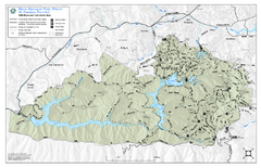
Mt. Tamalpais Watershed Trail Map
Shows roads and trails in the 18,500 Mt. Tamalpais Watershed near Fairfax, California.
194 miles away
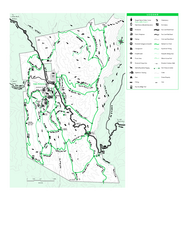
Joseph D. Grant County Park Map
Trail map of Joseph D Grant County Park in Santa Clara County, California
238 miles away
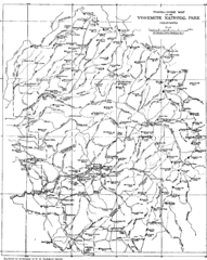
Yosemite Park Map (before development)
Map of Yosemite Park before valley development, showing only Portal Road
248 miles away
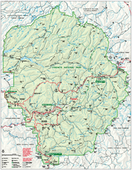
Yosemite National Park official map
Official park map showing trails, roads, campgrounds, ranger stations, parking, picnic areas, and...
252 miles away
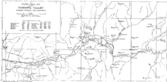
Yosemite Valley Map
Map of the valley and key elevations
254 miles away
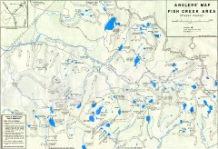
Fish Creek Area Anglers' Map
Hand-drawn fishing map of lakes, peaks, and trails in the Fish Creek Area of the John Muir...
288 miles away
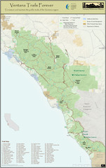
Ventana Wilderness Trails Map
Trail map of the Ventana Wilderness east of Big Sur. Also shows trails in the Silver Peak...
324 miles away
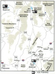
Icefishing Map, Elko County, Nevada
Map of ice fishing locations in Elko County, NV. Shows reservoirs, roads and towns.
341 miles away
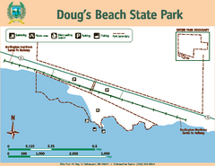
Dougs Beach State Park Map
Map of park with detail of trails and recreation zones
344 miles away
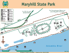
Maryhill State Park Map
Map of park with detail of trails and recreation zones
368 miles away
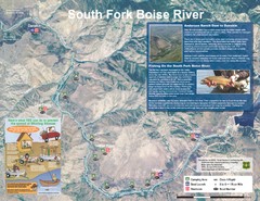
South Fork Boise River Map
Map of the South Fork of the Boise River from Anderson Ranch Dam to Neal Bridge. Premier wild...
392 miles away
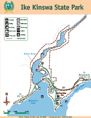
Ike Kinswa State Park Map
Map of park with detail of trails and recreation zones
402 miles away
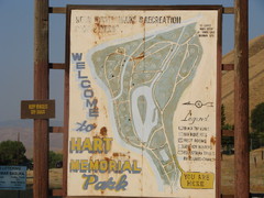
Hart Memorial Park Map
411 miles away
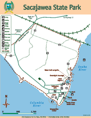
Sacajawea State Park Map
Map of park with detail of trails and recreation zones
411 miles away
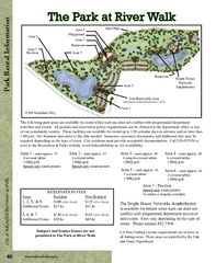
The Park at Riverwalk, Bakersfield California Map
Map of The Park at Riverwalk in Bakersfield California, including the fees for reservable areas.
412 miles away
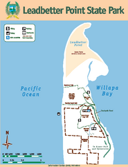
Leadbetter Point State Park Map
Map of park with detail of recreation zones and trails
414 miles away
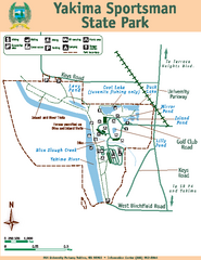
Yakima Sportsman State Park Map
Map of park with detail of trails and recreation zones
414 miles away
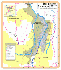
Hells Canyon National Recreation Area Map
Official Forest Service map of the Hells Canyon National Recreation Area. Shows roads, trails...
426 miles away
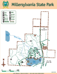
Millersylvania State Park Map
Map of park with detail of trails and recreation zones
427 miles away
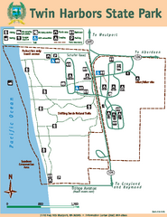
Twin Harbors State Park Map
Map of park with detail of trails and recreation zones
431 miles away
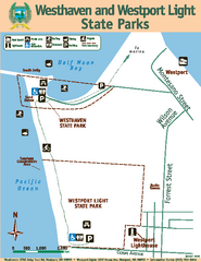
Westhaven/Westport Light State Parks Map
Map of park with detail of trails and recreation zones
434 miles away
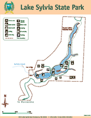
Lake Sylvia State Park Map
Map of island with detail of trails and recreation zones
437 miles away
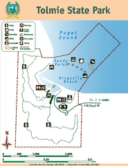
Tolmie State Park Map
Map of park with detail of trails and recreation zones
441 miles away
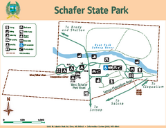
Schafer State Park Map
Map of park with detail of trails and recreation zones
443 miles away
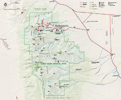
Great Basin National Park Map
Official NPS park map of Great Basin National Park. Shows all roads, trails, and facilities...
443 miles away
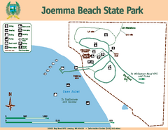
Joemma Beach State Park Map
Map of park with detail of trails and recreation zones
448 miles away
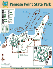
Penrose Point State Park Map
Map of park with detail of trails and recreation zones
450 miles away
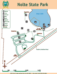
Nolte State Park Map
Map of park with detail of trails and recreation zones
451 miles away


 Explore Maps
 Map Directory
