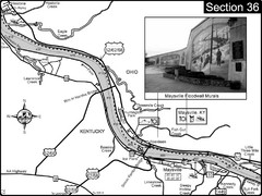
Ohio River at Maysville, Kentucky Map
This is a page from the Ohio River Guidebook. The map shows important information for boaters and...
0 miles away
Near Maysville, KY
3859 × 2886•1.6 MB•JPG
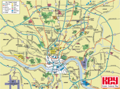
Cincinnati Tourist Map
49 miles away
Near Cincinnati
1632 × 1214•477 KB•GIF
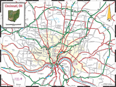
Cincinnati Tourist Map
49 miles away
Near Cincinnati
1469 × 1100•387 KB•GIF
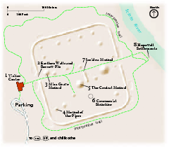
Hopewell Culture National Historical Park...
Official NPS map of Hopewell Culture National Historical Park in Ohio. Map shows all areas. he...
66 miles away
Near 16062 State Route 104 Chillicothe, Ohio 45601
43 KB•PDF
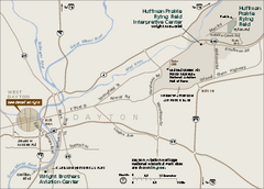
Dayton Aviation Heritage National Historical Park...
Official NPS map of Dayton Aviation Heritage National Historical Park in Ohio. Dayton Aviation...
78 miles away
Near 16 South Williams Street Dayton, Ohio 45402
156 KB•PDF
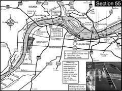
Ohio River at Louisville, KY & Southern...
This is from the Ohio River Guidebook
110 miles away
Near Louisville, KY
3865 × 2891•2.0 MB•JPG

Birdseye Map of Sandusky, Ohio (1898)
Alvord-Peters birdseye map of Sandusky in 1898.
200 miles away
Near sandusky
3999 × 1860•1.5 MB•JPG
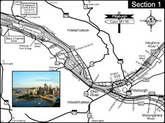
Ohio River at Pittsburgh, PA at the confluence of...
This is a page from the Ohio River Guidebook. The Ohio River begins at this confluence. This map...
236 miles away
Near Pittsburgh, PA
3859 × 2884•1.7 MB•JPG
page 1 of 1


 Explore Maps
 Map Directory
