
 Edit this map

Birdseye Map of Sandusky, Ohio (1898)
near sandusky

 See more

Nearby Maps

Cedar Point Amusement park Map
3 miles away
Near cedar point sandusky, oh
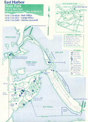
East Harbor State Park Map
9 miles away
Near East Harbor State Park
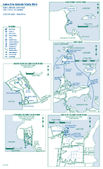
Lake Erie Islands State Park map
Detailed recreation map for the Lake Erie Islands State Parks in Ohio
10 miles away
Near Port Clinton, OH 43452
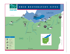
Lake Erie Restoration Sites Map
Shows restoration sites for Lake Erie in Ohio
11 miles away
Near Ohio
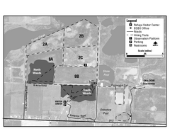
Ottawa National Wildlife refugee Map
29 miles away
Near toledo, oh
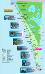
Point Pelee National Park Map
Large and clear national park map
35 miles away
Near Point Pelee National Park, Canada

 See more


 Explore Maps
 Map Directory
 click for
 Fullsize

0 Comments
New comments have been temporarily disabled.