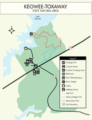
Keowee Toxaway State Park Map
Clear and detailed map of this wonderful state park.
0 miles away
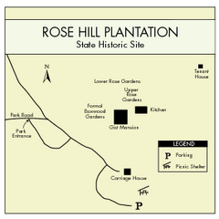
Rose Hill Plantation Map
Clear and simple state park map.
73 miles away
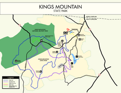
Kings Mountain State Park Map
Clearly marked state park map.
88 miles away
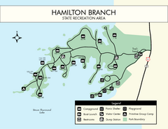
Hamilton Branch State Park Map
Simple state park map.
90 miles away
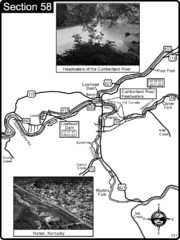
Harlan, KY-Cumberland River Headwaters Map
Section 58 of the Cumberland River Guidebook shows the beginning of the Cumberland River at the...
135 miles away
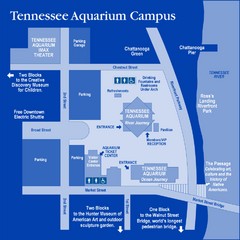
Tennessee Aquarium Campus Map
Map of Tennessee Aquarium Campus includes location of all buildings, bathrooms, parking, and...
138 miles away
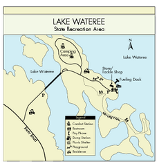
Lake Wateree State Park Map
Clear map of State Park.
142 miles away
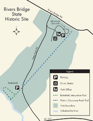
Rivers Bridge State Park Map
Nice and clear map of this history state park.
165 miles away
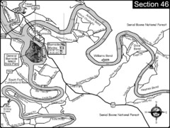
Burnside, KY-Cumberland River Map
Burnside, Kentucky is located at the fork of the Cumberland River and the South Fork. This is...
171 miles away
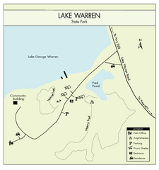
Lake Warren State Park Map
Clearly marked state park map.
175 miles away
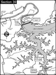
Lake Cumberland-Cumberland River Map
Lake Cumberland is formed by a dam on the Cumberland River in Section 39 of the Cumberland River...
182 miles away
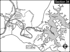
Celina, TN Dale Hollow Lake-Cumberland River Map
Celina Tennessee is the location for the head of navigation for the Cumberland River at the fork of...
184 miles away
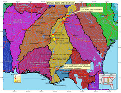
Drainage Basins of the Southeast United States Map
Lakes, rivers and dams in the Apalachicola, Chattahoochee and Flint River System.
197 miles away
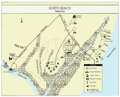
Edisto Beach State Park Map
Clearly labeled map of this beautiful state park.
224 miles away
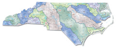
Watersheds North Carolina Map
North Carolina’s rivers link the Blue Ridge, Piedmont, and Coastal Plain. This map shows the...
226 miles away
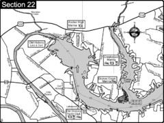
Old Hickory Lake-Cumberland River Map
Section 22 from the Cumberland River Guidebook shows the dam that forms Old Hickory Lake near...
231 miles away
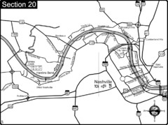
Nashville, TN-Cumberland River Map
The Cumberland River is an important waterway to the city of Nashville. Nashville is also a great...
235 miles away

Huntington Beach State Park Map
Detailed map and legend of this beautiful state park.
240 miles away
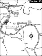
Clarksville, TN-Cumberland River Map
Cumberland River flows past Clarksville that has a great riverfront and services for traveling...
272 miles away
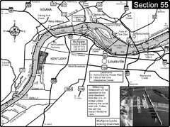
Ohio River at Louisville, KY & Southern...
This is from the Ohio River Guidebook
281 miles away
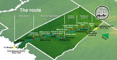
Alabama Scenic River Trail Map
631 miles of riverway. Starts in northeastern Alabama's mountains, flows through 9 lakes and...
293 miles away
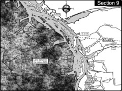
Lake Barkley-Cumberland River Map
Portion of Lake Barkley formed on the Cumberland River. In this section the state line is shown...
306 miles away
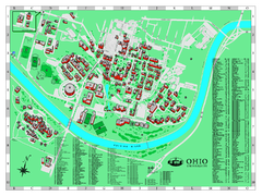
Ohio University Map
Ohio University Campus Map. All buildings shown.
307 miles away
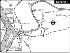
Smithland, KY Cumberland & Ohio Rivers Map
This is the mouth (end) of the Cumberland River as it pours into the Ohio River after flowing 695...
343 miles away
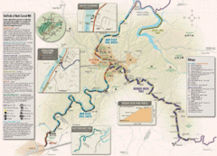
Rail Trails of North Central West Virginia Map
Trail map of rail-trails of north-central West Virginia. Shows the Mon River Trail, Caperton Trail...
363 miles away
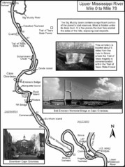
Upper Mississippi River Mile 0 to Mile 78 Map
Historical Map from book "Mississippi River-Historical Sites and Interesting Places
392 miles away
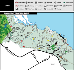
Pohick Bay Regional Park Map
Park map of Pohick Bay Regional Park near Lorton, VA on the Potomac River. Shows trails and...
409 miles away
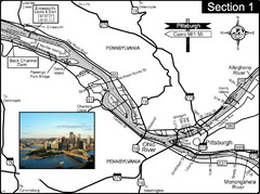
Ohio River at Pittsburgh, PA at the confluence of...
This is a page from the Ohio River Guidebook. The Ohio River begins at this confluence. This map...
413 miles away
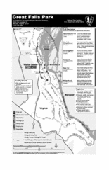
Great Falls Park Map
419 miles away
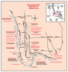
Mississippi River, Illinois Site Map
459 miles away
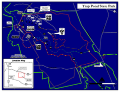
Trap Pond State Park Map
Delaware State Park map.
480 miles away

Upper Mississippi River Mile 188 to Mile 256 Map
history, mississippi river, river, baton rouge, donaldsonville, nottoway, gramercy, new orleans...
486 miles away
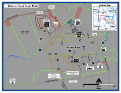
Killens Pond State Park Map
Map of Delaware State Park.
493 miles away
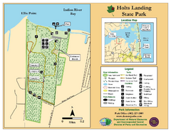
Hots Landing State Park Map
Clear map and legend.
497 miles away
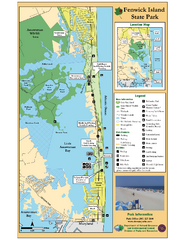
Fenwick Island State Park Map
Great state park map with clear key.
499 miles away
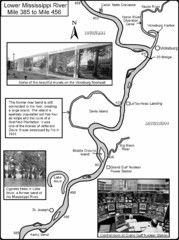
Lower Mississippi River Mile 385 to Mile 456 Map
Historical Map from book "Mississippi River-Historical Sites and Interesting Places
499 miles away
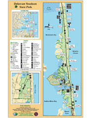
Deleware Seashore State Park Map
Park with perfect views and hiking routes.
503 miles away
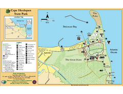
Cape Henlopen State Park Map
Beautiful park with delightful recreational activities.
506 miles away
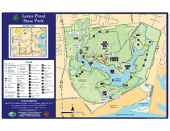
Lums Pond State Park Map
Clear legend and map of this wonderful state park.
508 miles away
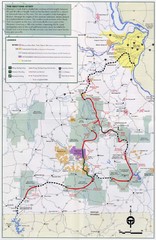
Ozark Trail Map
511 miles away


 Explore Maps
 Map Directory
