 Edit this map

Upper Mississippi River Mile 188 to Mile 256 Map
near St. Louis, MO
View Location
history, mississippi river, river, baton rouge, donaldsonville, nottoway, gramercy, new orleans, towboats, riverboats

 See more

Nearby Maps

Columbia Bottom Conservation Area Map
3 miles away

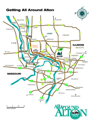
Alton, Illinois, and surrounding areas Map
Tourist map of the area around Alton, Illinois, showing ferry terminals, locks and dams, airports...
3 miles away
Near Alton, IL

Map of Jones-Confluence Point State Park
3 miles away

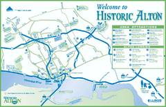
Historic Attractions in Alton, Illinois Map
Tourist map of historic attractions in Alton, Illinois. Shows museums, monuments, and lodging.
4 miles away
Near Alton, IL

Attractions in Alton, Illinois Map
Tourist map of Alton, Illinois. Museums, monuments, and other points of interest are shown.
4 miles away
Near Alton, IL

 See more


 Explore Maps
 Map Directory
 click for
 Fullsize


0 Comments
New comments have been temporarily disabled.