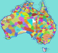
Australia Aboriginal Tribes Map
Shows original regions of aboriginal tribes in Australia.
0 miles away
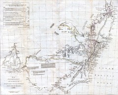
1832 South Australia Historical Map
An 1832 map of Southern Australia
284 miles away
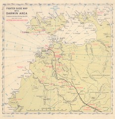
Darwin Area Fighter Guide Map
Fighter Guide Map of Airfields around Darwin
916 miles away

Western Australia State Barrier Fence Map
Map shows the Rabbit barrier fence built in 1901 in Burracoppin and Merredin just east of Perth.
1022 miles away

The Great North Walk Trail Map
The Great North Walk connects New South Wales’ two largest cities from the obelisk in...
1198 miles away
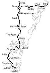
Family Histories in New South Wales Map
Treasure hunt a walker's comapnion's family hisotry around New South Wales. Experience...
1199 miles away
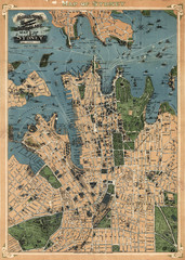
Robinson’s map of Sydney, Australia (1922)
Fun-looking and quite expertly-rendered overhead map of Australia's most populous city: Sydney...
1203 miles away

1897 Soerabaja Map
An historical Indonesian map
1865 miles away
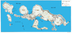
New Georgia Group War Map
Shows Allied landings 1943
1940 miles away
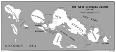
New Georgia Islands Map
1952 miles away
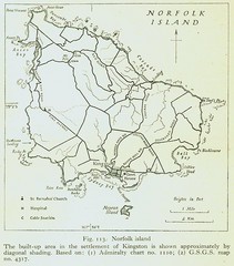
Historic Norfolk Island Map
Historic guide to Norfolk Island
2113 miles away
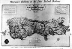
South Island New Zealand Rail Map
Contour map of the South Island, 1929
2410 miles away
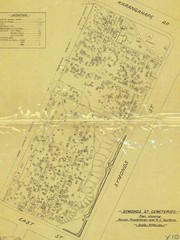
Symonds Street Cemetery - Jewish, Prebyterian and...
The Old Symonds Street Cemetery. This is the Jewish, Presbyterian and Catholic section.
2535 miles away
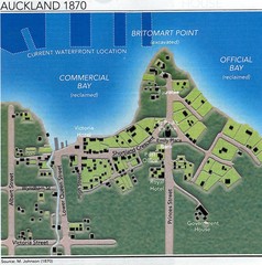
Auckland in 1870 Map
Downtown Auckland (New Zealand) as in 1870
2535 miles away
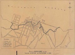
Auckland's Waterfront - Pre-1930 Map
Map of Auckland's waterfront from prior to 1930. Shows the outline of the 1841 waterfront...
2535 miles away
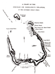
1840 Cocos (Keeling) Islands Map
1840 Guide to the Cocos (Keeling) Islands, a territory of Australia in the Indian Ocean
2572 miles away
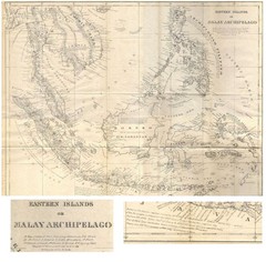
Eastern Islands Map
Antique map of the Eastern Islands or Malay Archipelago. Includes all islands, towns and detailed...
2589 miles away
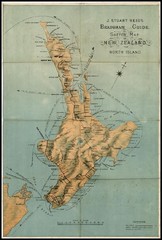
1880 New Zealand North Island Map
2595 miles away
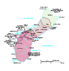
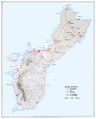
War Map of Guam
Map documenting the progress of forces across Guam during WWII.
2779 miles away
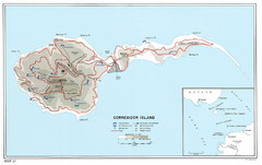
Corregidor Island WWII Map
Shows World War II fortifications on Corregidor Island, Philippines
2883 miles away
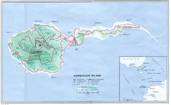
Corregidor Island Map
Elevation map with major roads and installations of Corregidor Island Battlefield Memorial
2883 miles away
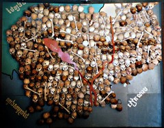
Skull Map of Cambodia Tuol Sleng Genocide Museum...
The Tuol Sleng Genocide Museum is a museum in Phnom Penh, the capital of Cambodia. The site is a...
3225 miles away
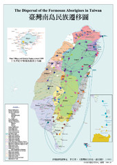
Dispersal of the Formosa Aborigines of Taiwan Map
Shows dispersal of the Formosa aborigines of Taiwan over last few thousand years.
3494 miles away
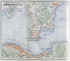
1915 Hong Kong Map
3551 miles away
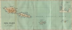
Samoa Islands 1889 Map
Historical map of Samoa islands from 1889
3593 miles away
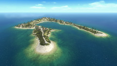
Wake Island Map
Screen shot from computer game of Wake Island 1943
3793 miles away
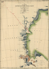
Map of Shackleton’s 1907-1909 Antarctic...
Eric Stewart Marshall's map of Shackleton's "Nimrod" expedition of 1907-09.
3799 miles away
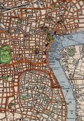
Shanghai Map
Historical map of Shanghai
3992 miles away
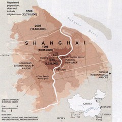
Shanghai population change Map
Shanghai population change from National Geographic Magazine
3992 miles away
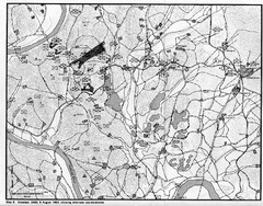
Counterattacks on the Naktong Map
A study of counterattack theory as it existed during the defense of the Pusan Perimeter in the...
4196 miles away

1914 Mt. Fuji Map
4207 miles away

China Treaty Ports Map
Shows treaty ports of China, opened 1842-1920
4249 miles away
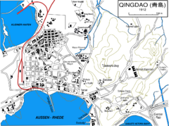
Qingdao City Map
City map of Qingdao in 1912 in German
4333 miles away
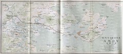
1915 Eastern Asia Map
4408 miles away
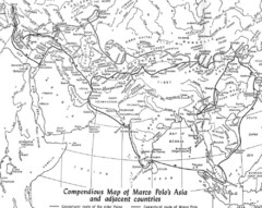
Marco Polo's Route Map
Marco Polo's route through and around Asia.
4645 miles away
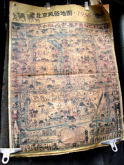
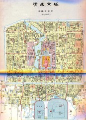
Old Beijing Custom Map 1936
Map of Old Beijing, China from 1936. From a photo
4645 miles away
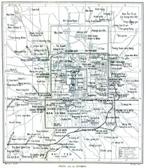
1912 Peking (Beijing) Map
Guide to Peking or Beijing, China
4646 miles away
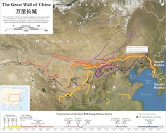
Great Wall of China Map
Map shows the construction of the Great Wall of China during Chinese history. The Great Wall is...
4649 miles away


 Explore Maps
 Map Directory
