
 Edit this map

Symonds Street Cemetery - Jewish, Prebyterian and Roman Catholic Map
near symonds street, auckland
View Location
The Old Symonds Street Cemetery. This is the Jewish, Presbyterian and Catholic section.

 See more

Nearby Maps
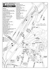
University of Auckland - Grafton Campus Map
Map of Grafton Campus of University of Auckland.
less than 1 mile away
Near grafton, auckland, nz
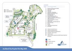
Auckland City Hospital Site Map 2005
less than 1 mile away
Near Auckland Hospital, Auckland, New Zealand
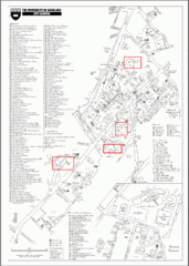
University of Auckland Campus Map
City campus map of University of Auckland, New Zealand
less than 1 mile away
Near 20 Symonds St, Auckland, New Zealand
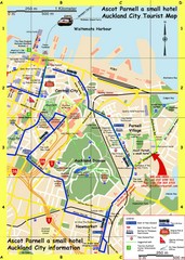
Parnell, Auckland Tourist Map
Tourist & Visitor Map showing tourist attractions, hotels, suggested walks and bus routes.
less than 1 mile away
Near Parnell, Auckland, New Zealand
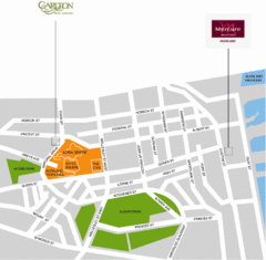
Central Auckland Map
less than 1 mile away
Near Auckland

 See more


 Explore Maps
 Map Directory
 click for
 Fullsize

0 Comments
New comments have been temporarily disabled.