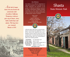
Shasta State Historic Park Map
Map of park with detail of trails and recreation zones
0 miles away
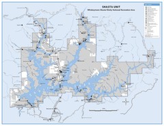
Shasta Unit - Whiskeytown-Shasta-Trinity National...
Map of Shasta Lake, California, showing roads, campgrounds, marinas and resorts, hiking and biking...
14 miles away
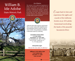
William B. Ide Adobe State Historic Park Map
Map of park with detail of trails and recreation zones
31 miles away
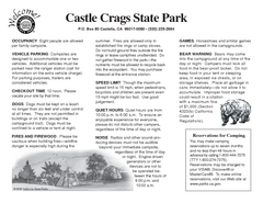
Castle Crags State Park Map
Map of park with detail of trails and recreation zones
39 miles away
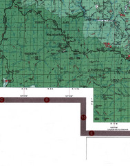
Klamath National Forest Map
Visitor Map of Klamath, eastern part of the forest, includes all roads, camp grounds, creeks, and...
42 miles away
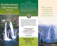
McArthur-Burney Falls Memorial State Park Map
Map of park with detail of trails and recreation zones
53 miles away
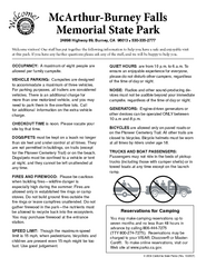
McArthur-Burney Falls Memorial State Park...
Map of park with detail of trails and recreation zones
53 miles away
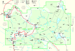
Lassen Volcanic National Park Official Park Map
Official NPS map of Lassen Volcanic National Park in California. Map shows all areas. Lassen...
56 miles away
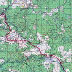
Lassen National Park Map
Forest Visitor Map showing locations of most camping and recreational areas in the eastern part of...
66 miles away
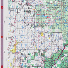
Lassen National Park Map
Visitor Map that shows most of Lassen National Forest with locations of camp grounds and...
67 miles away
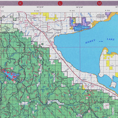
Lassen National Park Map
Forest Visitor Map of the farthest east of the park, shows all camping and recreational areas and...
68 miles away
Richardson Grove State Park Campground Map
Map of campground region of park with detail of trails and recreation zones
76 miles away
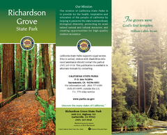
Richardson Grove State Park Map
Map of park with detail of trails and recreation zones
77 miles away
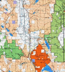
Modoc National Park Map
Visitor Map of Modoc National Park, eastern part. Includes all roads, lakes, camping and boating...
81 miles away
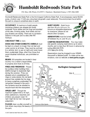
Humboldt Redwoods State Park Campground Map
Map of campground region park with detail of trails and recreation zones
81 miles away
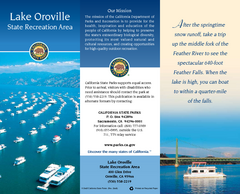
Lake Oroville State Recreation Area Map
Map of recreation area with detail of trails and recreation zones
88 miles away
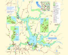
Lake Oroville State Recreation Area Map
Map of recreation area with detail of trails and recreation zones
89 miles away
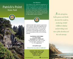
Patrick's Point State Park Map
Map of park with detail of trails and recreation zones
95 miles away
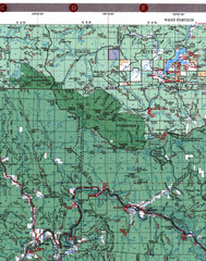
Klamath National Forest Map
Visitor Map of Klamath, western part of the park. Includes all roads, lakes, rivers and camping...
96 miles away
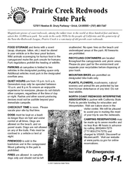
Prairie Creek Redwoods State Park Campground Map
Map of campground region of park with detail of trails and recreation zones
98 miles away
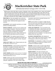
MacKerricher State Park Campground Map
Map of campground region of park with detail of trails and recreation zones
104 miles away
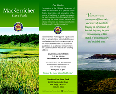
MacKerricher State Park Map
Map of park with detail of trails and recreation zones
104 miles away
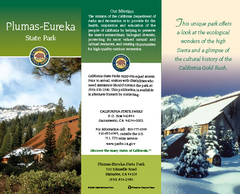
Plumas-Eureka State Park Map
Map of park with detail of trails and recreation zones
111 miles away
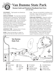
Russian Gulch State Park Campground Map
Map of campground region of park with detail of trails and recreation zones
111 miles away
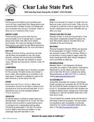
Clear Lake State Park Campground Map
Map of park with detail of trails and recreation zones
111 miles away
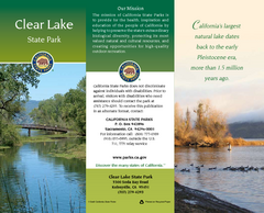
Clear Lake State Park Map
Map of park with detail of trails and recreation zones
111 miles away
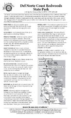
Del Norte Coast Redwoods State Park Campground Map
Map of park with detail of trails and recreation zones
113 miles away
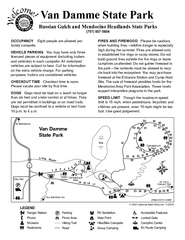
Van Damme State Park Campground Map
Map of campground region of park with detail of trails and recreation zones
113 miles away
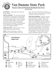
Van Damme State Park Campground Map
Map of campground region of park with detail of trails and recreation zones
113 miles away
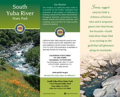
South Yuba River State Park Map
Map of park with detail of trails and recreation zones
114 miles away
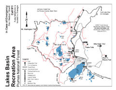
Lakes Basin Recreation Area Trail Map
Trail map of Lakes Basin Recreation Area in Plumas National Forest near Graeagle, California...
114 miles away
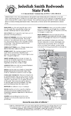
Jedediah Smith Redwoods State Park Campground Map
Map of campground region of park with detail of trails and recreation zones
117 miles away
Jedediah Smith Redwoods State Park Map
Map of park with detail of trails and recreation zones
117 miles away
Hendy Woods State Park Map
Map of park with detail of trails and recreation zones
118 miles away
Hendy Woods State Park Campground Map
Map of campground region park with detail of trails and recreation zones
118 miles away
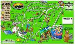
Harmony Ridge Resort Map
122 miles away
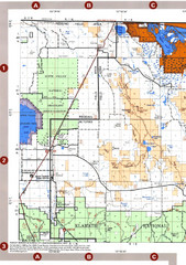
Modoc National Forest Map
Forest Visitor Map of the western most part of Modoc National Park. Includes county boundaries...
122 miles away
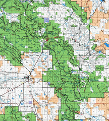
Clip10 Map
Visitor Maps of Modoc National Park, eastern part of the park includes all roads, camping areas...
128 miles away
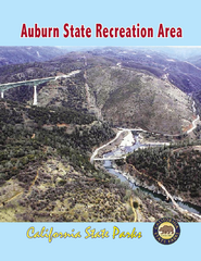
Auburn State Recreation Area Map
Map of park with detail of of trails and recreation zones
140 miles away
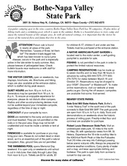
Bothe-Napa Valley State Park Map
Map of park with detail of of trails and recreation zones
142 miles away


 Explore Maps
 Map Directory
