 Back to Colombia Directory Page

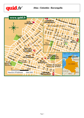
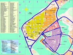
Barranquilla City Map Puerta de Oro
City map of downtown Barranquilla Puerta de Oro
Near Barranquilla, Colombia
141 KB•PDF
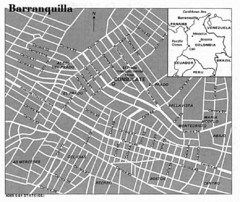
Barranquilla City Tourist Map
Near Barranquilla
1052 × 885•78 KB•JPG
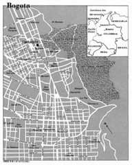
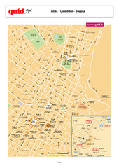
Bogota City Tourist Map
Near Bogota
856 × 1070•78 KB•JPG
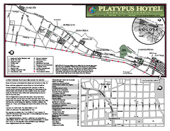
Bogota Map
Near Bogota
972 KB•PDF
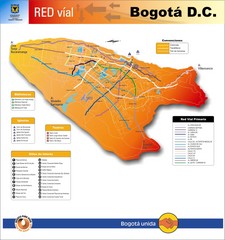
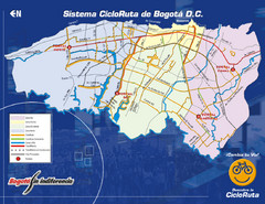
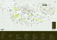
Bogota Transit Map
Transportation map of Bogota Central District (DC). Shows major transportation routes, libraries...
Near Bogota, Colombia
1401 × 1496•354 KB•JPG
Cali City Map
Near Cali
1.4 MB•PDF
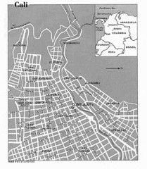
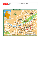
Cali City Tourist Map
Near Cali
938 × 1078•72 KB•JPG
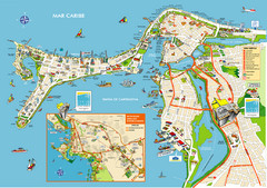
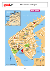
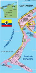
Cartagena de Indias, Colombia Map
Near Cartagena de Indias;
2067 × 1458•2.6 MB•JPG
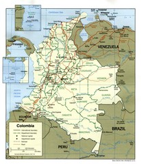
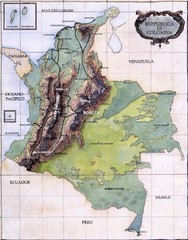
Colombia Country Map
Near Colombia
1068 × 1246•283 KB•JPG
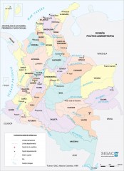
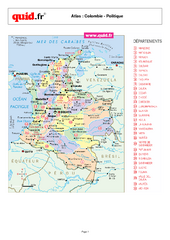
Colombia Political Map
Political map of Colombia. Shows departamental capitals. In Spanish.
Near Colombia
1355 × 1871•265 KB•JPG
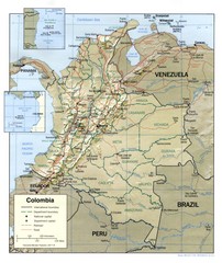
Colombia Regional Map
Map of various regions and main cities of Colombia
Near Colombia
1059 × 1258•276 KB•JPG
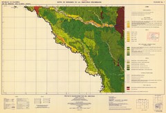
Forest Map of the Colombian Amazonia
Near Columbia
7230 × 4940•2.3 MB•JPG
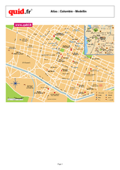
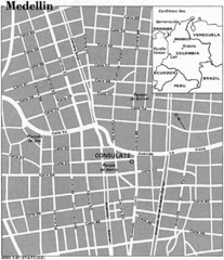
Medellin City Map
Near Medellin
162 KB•PDF
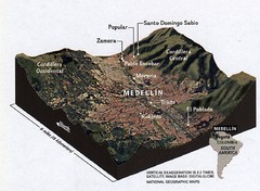
Medellin City Tourist Map
Near Medellin
863 × 1001•61 KB•JPG
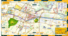
Medellin Map
Near Medellin
2400 × 1267•3.5 MB•JPG
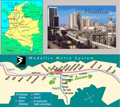
Medellin Metro Transit Map
Transportation map of metro throughout city of Medellin
Near Medellin, Colombia
676 × 602•205 KB•JPG
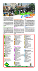
Medellin Turistico Map
Near Medellin
3.4 MB•PDF
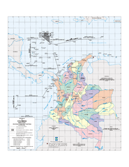
Official boundaries of Colombia Map
All the official boundaries of Colombia including the maritime ones.
Near Colombia
605 KB•PDF
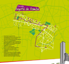
Rumba en Bogota Map
Near Bogota
1069 × 980•194 KB•GIF
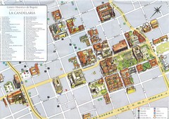
Sitios Historicos en La Candelaria Map
Mapa del centro histórico de Bogota
Near Bogota
1382 × 980•380 KB•JPG
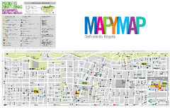
Zona Norte Bogota Map
Near Bogota
4.1 MB•PDF
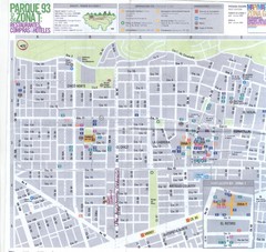
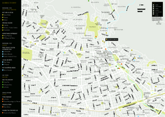
Zona Parque de la 93 Map
Mapa de la zona norte de Bogota (parque del Virrey, parque de la 93, Usaquen, Barrio Chico) Con...
Near Bogota
1275 × 1205•304 KB•JPG
page 1 of 1


 Explore Maps
 Map Directory
