 Back to Switzerland Directory Page

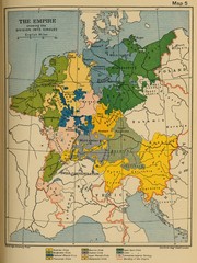
1912 Empire Historical Map
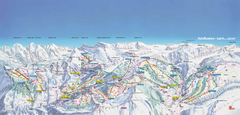
Adelboden-Lenk (Frutigen) Ski Trail Map
Trail map from Adelboden-Lenk (Frutigen), which provides downhill skiing.
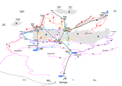
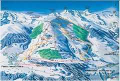
Alpenregion Meiringen-Hasliberg Ski Trail Map
Trail map from Alpenregion Meiringen-Hasliberg.
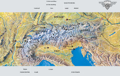
Alps Top Resort Town Map
Shows 12 top 4 season mountain resort towns in the Alps in France, Switzerland, Austria, and Italy.
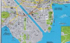
Ascona City Tourist Map
Landmarks in Ascona, Switzerland
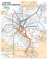
Basel Light Rail and Bus Map
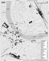
Basel Tourist Map
Tourist map of Basel, Switzerland. Shows museums, accommodations, eating, and drinking spots
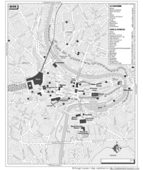
Bern Tourist Map
Tourist map of Bern, Switzerland. Shows museums, accommodations, eating, and drinking spots
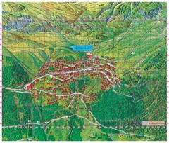
Bettmeralp Summer Map
Summer tourist map of town of Bettmeralp, Switzerland. With reference grid.
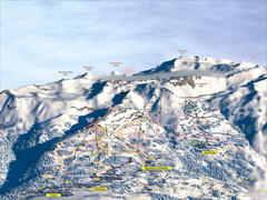
Crans Montana (Barzettes, Aminona) Ski Trail Map
Trail map from Crans Montana (Barzettes, Aminona), which provides downhill skiing.
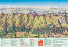
Davos Schatzalp Summer Trail Map
Trail map showing summer trails and lifts at Davos Schatzalp in Davos, Switzerland.
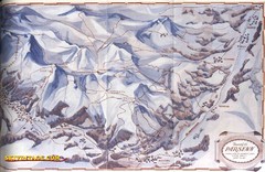
Davos-Klosters Ski Trail Map
Trail map from Davos-Klosters.
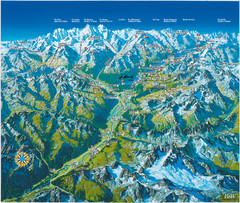
Engadin St. Moritz Region Summer Map
Summer panoramic tourist map of Engadin region of Switzerland. Includes St. Moritz, Piz Bernina...
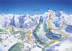
Engelberg Titlis Ski Trail Map
Trail map from Engelberg Titlis.
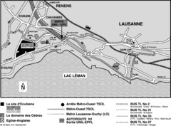
EPFL Lausanne Switzerland Map
Map of the EPFL University and bus routes from Lausanne to get there.
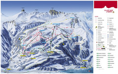
Flumserberg Ski Trail Map
Trail map from Flumserberg.
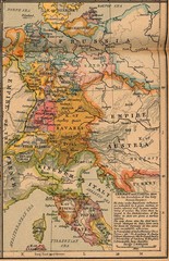
Germany Italy 1806 Map
Germany and Italy in 1806 at the dissolution of the Roman Empire

Haute Route Ski Tour Map - Verbier Variant
Ski tour topo route map of the European Alps' most famous alpine ski tour connecting two...
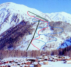
Hungerberg Ski Trail Map
Trail map from Hungerberg, which provides downhill skiing. It has 3 lifts. This ski area has its...
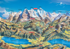
Jungfrau Grindelwald region summer map
This map is a summer panorama looking south from Interlaken toward the Jungfrau, Eiger, and the...
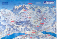
Jungfrau Map
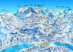
Jungfrauregion (Mürren, Wengen, Grindelwald) Ski...
Trail map from Jungfrauregion (Mürren, Wengen, Grindelwald), which provides downhill skiing.
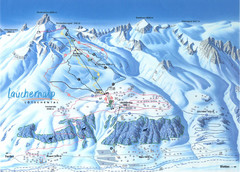
Lötschental (Wiler) Ski Trail Map
Trail map from Lötschental (Wiler), which provides downhill skiing.
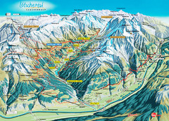
Lötschental Lauchernalp Summer Trail Map
Summer trail map of Lötschental Valley area. Shows hiking trails, towns, and mountains. The...
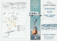
La Tzoumaz Public Transportation Map (French)
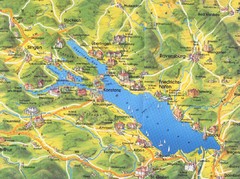
Lake Konstanz Map
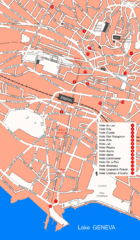
Lausanne Hotel Map
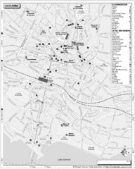
Lausanne Tourist Map
Tourist map of central Lausanne, Switzerland on the shore of Lake Geneva. Shows accommodation...
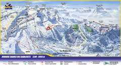
Les Diablerets Ski Trail Map
Trail map from Les Diablerets.
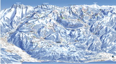
Les Portes du Soleil Portes Du Soleil Ski Trail...
Trail map from Les Portes du Soleil.
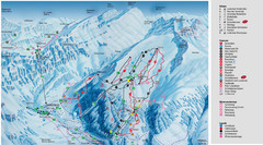
Leukerbad Ski Trail Map
Trail map from Leukerbad.
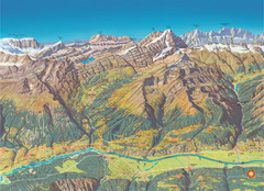
Leukerbad Summer Trail Map
Summer hiking trail map from Leukerbad.
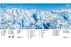
Leysin (Leysin, Les Mosses, La Lecherette) Ski...
Trail map from Leysin (Leysin, Les Mosses, La Lecherette), which provides downhill skiing.
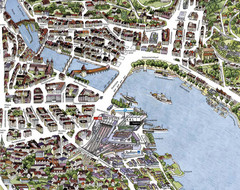
Lucerne Tourist Map
Tourist map of central Lucerne, Switzerland. 3D view showing buildings.
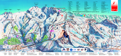
Matterhorn Ski Paradise Ski Trail Map
Trail map from Matterhorn ski paradise.
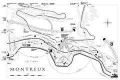
Montreux City Map
City map of Montreux, Switzerland on Lac Leman
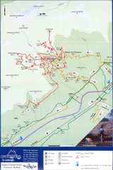
Ovronnaz Tourist Map
Tourist map of Ovronnaz, Switzerland. Shows biking routes, restaurants, and public transport.
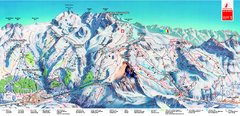
Piste Map of Zermatt with Cervinia
Combined piste map of Zermatt and Cervinia resorts. Shows both sides of the huge ski destination.


 Explore Maps
 Map Directory
