 Back to Botswana Directory Page


89 Map
Tourist map of Gaborone, Botswana. Shows major streets and points of interest.
Near Gaborone, Botswana
28735 × 28776•1 KB•PHP5

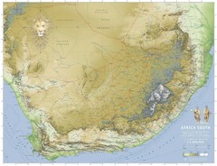
Africa South Full Map
A new relief map of Africa South showing some roads and towns and with boundaries natural replacing...
Near africa
3307 × 2533•961 KB•JPG
Botswana map
Near Botswana
760 × 1126•211 KB•TXT

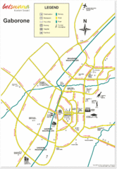
Gaborone City Map
Map and legend marking sites in this most populated city of Botswana.
Near Baborone, Botswana
1250 × 1809•125 KB•GIF

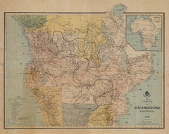
Map Color Pink: Portuguese States of Africa
"Map Color Pink" was the name given to the Portuguese project to link Angola to...
Near Mozambique
800 × 636•234 KB•JPG

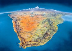
Southern Africa Panorama Map
Panoramic view of southern Africa. Shows South Africa, Namibia, Botswana, Angola, Zambia, Zimbabwe...
Near Malachoona, Botswana
1800 × 1294•422 KB•JPG

Trans Kalahari Highway Map
Map of Trans Kalahari Highway through Botswana showing distances, fuel stations and accomodations.
Near Botswana
550 × 1572•31 KB•GIF
page 1 of 1


 Explore Maps
 Map Directory
