
 Back to California Directory Page

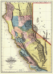
1851 California Regional Map
Great quality map of Californian regions in 1851.

1852 San Francisco Map
Guide to San Francisco, prior to 1852

1895 San Francisco Bay Area Map
Guide to the San Francisco Bay Area in 1895
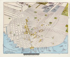
1896 San Francisco Perspective Map
Guide to historic San Francisco, in hand drawn perspective
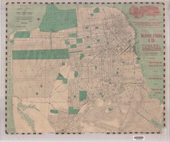
1905 San Francisco Street Map
Pre earthquake map of San Francisco, with several types of street cars and turnaround locations
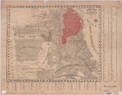
1907 San Francisco Earthquake Map
Map of areas destroyed by fire after 1906 earthquake
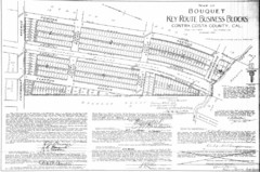
1914 Bouquet Key Route Business Block Map
This map shows the borders of the Bouquet Business District in Contra Costa County, CA
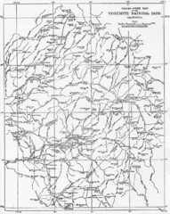
1914 Yosemite National Park Map
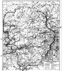
1931 Yosemite National Park Map
Yosemite National Park Map with trails and elevations
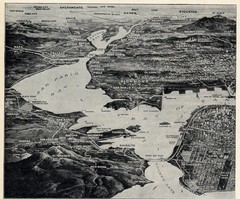
1936 San Francisco Bay Area Map Part 1
Guide to the San Francisco Bay Area in 1936, hand drawing over photograph
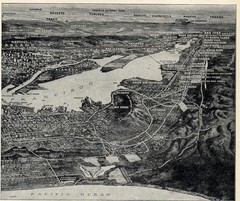
1936 San Francisco Bay Area Map Part 2
Guide to the San Francisco Bay Area, hand drawn over photograph
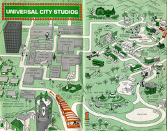
1966 Universal Studios Guide Map
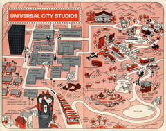
1968 Universal Studios Guide Map
A 1968tour guide map of Universal Studios
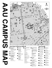
Academy of Art University San Francisco, CA Map
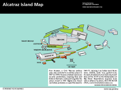
Alcatraz Island Map
Official NPS map of Alcatraz Island National Park in the San Francisco Bay, California
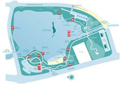
Almaden Lake Park Map
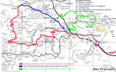
Alpine Dam Seven Sisters Road Bike Route Map...
Road biking route map for the classic Alpine Dam/Seven Sisters loop in Marin County from San...
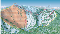
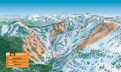
Alpine Meadows Ski Area Backside Ski Trail Map
Trail map from Alpine Meadows Ski Area, which provides downhill and terrain park skiing. It has 13...
Alpine Meadows Ski Trail Map (Front)
Official ski trail map of Alpine Meadows ski area from the 2005-2006 season.
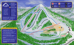
Alta Sierra at Shirley Meadows Ski Trail Map
Official ski trail map of Alta Sierra at Shirley Meadows ski area
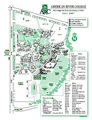
American River College Campus Map
American River College Campus Map. Shows all buildings.
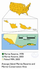
Anacapa Island Marine Reserve Map

Anaheim Resort Map
Anaheim Resort Map, shows locations of Disneyland Theme Parks, and all restaurants, hotels, grocery...
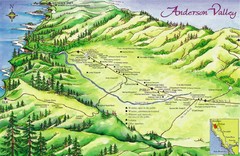
Anderson Valley Wine Map
Shows wineries/vineyards in Anderson Valley, California along Route 128 from Navarro, California to...
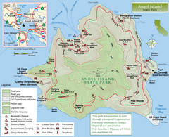
Angel Island State Park Map
Official map of Angel Island State Park in the San Francisco Bay. Shows paved and unpaved roads...
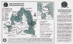
Angel Island State Park Map
Map of park with detail of trails and recreation zones
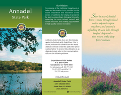
Annadel State Park Map
Map of park with detail of trails and recreation zones
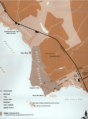
Ano Nuevo State Park Map
Map of park with detail of trails and recreation zones

Ano Nuevo State Park Map
Map of park with detail of trails and recreation zones
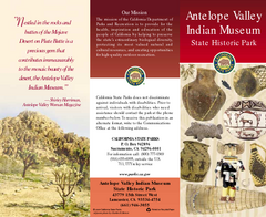
Antelope Valley State Park Map
Map of park with detail of of trails and recreation zones
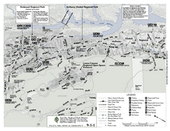
Anthony Chabot Regional Park Map - North
Trail map of the north section of Anthony Chabot Regional Park in the East Bay Hills.
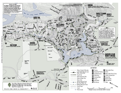
Anthony Chabot Regional Park Map - South
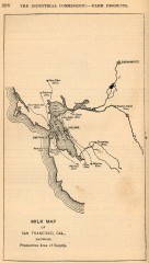
Antique map of San Francisco from 1901
"Milk Map of San Franciso, Cal., Showing Productive Area of Supply." From Report of the...
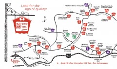
Apple Hill tourist map
Map of Apple Hill growers in Camino, California. Shows vineyards and orchards.

Arastradero Preserve Map
Trail map of Arastradero Preserve shows 10.25 miles of trails.
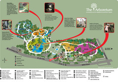
Arboretum Map
Visitor map of the Arboretum
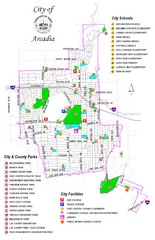
Arcadia City Parks Map
City parks map of Arcadia, California. Also shows schools.
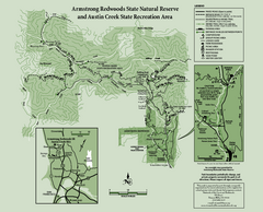
Armstrong Redwoods State Natural Reserve Map and...
Park map of Armstrong Redwoods State Natural Reserve and Austin Creek State Recreation Area in...
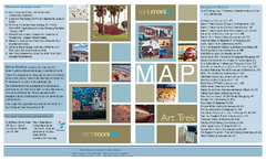
Art Trek Tour Map, Santa Monica, California
Art Trek tour map of 93 of the 120+ museums, art galleries and public displays in Santa Monica...
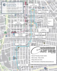
Artride Bicycle Map of Museums and Galleries
Map of a bicycle tour of the galleries and Museums in Downtown Los Angeles.


 Explore Maps
 Map Directory
