
 Back to Tanzania Directory Page

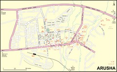
Arusha Town Map
Town map with lodging locations identified
Near Arusha, Tanzania
3182 × 1965•815 KB•JPG
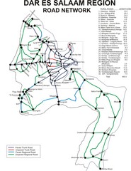
Dar Es Salaam Road Map
Map of road network in Dar Es Salaam, Tanzania
Near Dar Es Salaam
2128 × 2760•746 KB•JPG
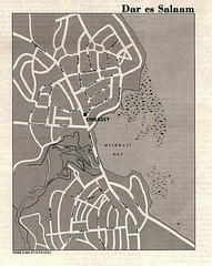
Dar es Salaam, Tanzania Tourist Map
Near Dar es Salaam
935 × 1172•470 KB•JPG
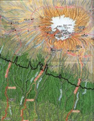
Kilimanjaro Climbing Route Map
Hand-drawn map shows major climbing routes on the southern side of Mt. Kilimanjaro, Tanzania...
Near Mt. Kilimanjaro, Tanzania
1531 × 1980•869 KB•JPG
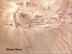
Mount Meru Physical Map
Near 3.2° S, 36.7° E
800 × 600•78 KB•JPG
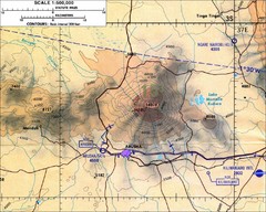
Mount Meru Topographic Map
Topographic map of Mount Meru in Nothern Tanzania
Near Arusha, Tanzania
1000 × 800•197 KB•JPG
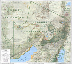
Ngorongoro Conservation Area Map
Near Ngorongoro
1024 × 910•191 KB•JPG
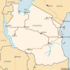
Railways in Tanzania Map
Railway network of Tanzania Map licensed on Creative Commons Share Alike License 3.0 You can...
Near Dar es Salaam
600 × 600•56 KB•JPG
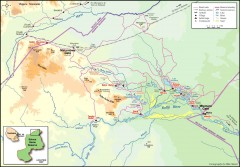
Seleous Game reserve, northern portion Map
Shows the northern part of the Seleous Game reserve in Tanzania around the Rufiji River and Beho...
Near Seleous Game Reserve, Tanzania
1602 × 1114•288 KB•JPG
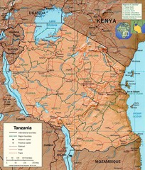
Tanzania Map
Near tanzania
978 × 1152•443 KB•JPG
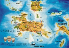
Ukerewe Island Lake Victoria Map
848 × 590•136 KB•JPG
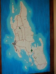
Zanzibar Island Map
Island map of Zanzibar, Tanzania From photo Oct 3 2007
Near Zanzibar, Tanzania
1200 × 1600•263 KB•JPG
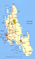
Zanzibar Tourist Map
Near Zanzibar
750 × 1264•129 KB•JPG
page 1 of 1


 Explore Maps
 Map Directory
