
 Back to Luxembourg Directory Page

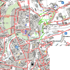
City Center with Bus and Rail Lines Map
Near Luxembourg City, Luxembourg
2499 × 2499•885 KB•PNG
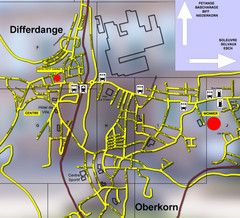
Differdange Bus Map
Near Differdange, Luxembourg
1200 × 1087•542 KB•JPG
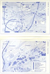
Kirchberg Map
Map of Kirchberg, Luxembourg. In French. Scanned.
Near Kirchberg, Luxembourg
1147 × 1686•284 KB•JPG
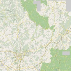
Luxembourg Bike Map
Near Luxembourg
5000 × 5000•3.8 MB•JPG
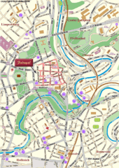
Luxembourg city Map
637 × 900•271 KB•GIF
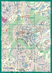
Luxembourg City Street Map
Street map of Luxembourg city and surrounding area.
Near Luxembourg, Luxembourg
1793 × 2498•1.2 MB•JPG
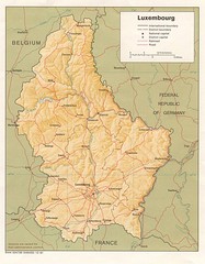
Luxembourg Map
Map of the mountains, cities and roadways of Luxembourg.
Near Luxembourg
1036 × 1327•238 KB•JPG
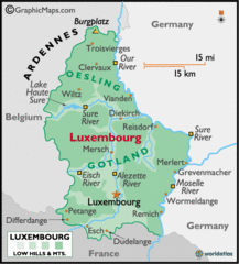
Luxembourg Map
583 × 646•46 KB•GIF
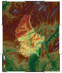
Luxembourg topo Map
1400 × 1648•852 KB•JPG
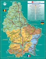
Luxembourg Tourism Map
Tourist Map of Luxembourg showing major roads, railways, and tourist attractions.
Near Luxembourg
1208 × 1532•431 KB•JPG
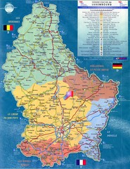
Luxembourg Tourist Map
Tourist map of the country of Luxembourg. Shows points of interest and activity icons. In French...
Near Luxembourg
1117 × 1451•703 KB•JPG
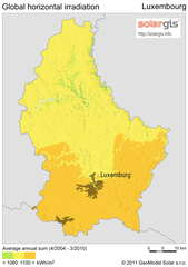
Solar Radiation Map of Luxembourg
Solar Radiation Map Based on high resolution Solar Radiation Database: SolarGIS. On the Solar Map...
Near Luxembourg
500 × 712•214 KB•PNG
page 1 of 1


 Explore Maps
 Map Directory
