
 Back to Honduras Directory Page


Cayos Cochios Islad Map
1392 × 949•87 KB•JPG
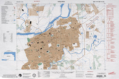
Choluteca Honduras Map
Near Choluteca Honduras
5507 × 3670•4.9 MB•JPG
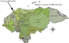
Coffee Plantations of Honduras Map
756 × 476•245 KB•JPG
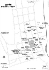
Copan Ruinas town Map
Near copan ruinas
1392 × 2006•284 KB•JPG
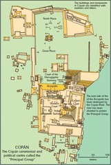
Copan Ruins Map
Near copan ruins
501 × 746•91 KB•JPG
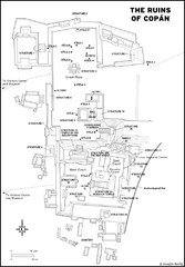
Copan Ruins Map
Near copan ruins
1394 × 2008•272 KB•JPG
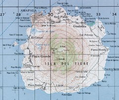
El Tigre Island Map
Topo map of volcanic island El Tigre Island
Near El Tigre Island
1758 × 1477•999 KB•JPG
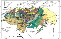
Honduras Geology Map
Near Honduras
800 × 511•96 KB•JPG
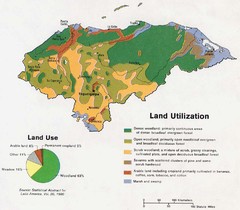
Honduras Land Use and Land Utilization, 1983 Map
Near Honduras
960 × 838•142 KB•JPG
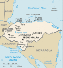
Honduras Map
Near Honduras
328 × 352•13 KB•GIF

Honduras North coast Map
2916 × 890•302 KB•JPG
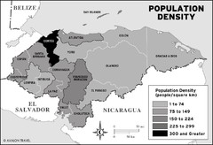
Honduras population density Map
1392 × 949•127 KB•JPG
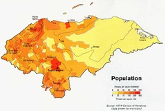
Honduras Population Map, 1974 Census Map
Near Honduras
891 × 600•95 KB•JPG
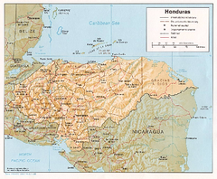
Honduras Relief Map, 1985 Map
Near Honduras
249 KB•PDF
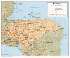
Honduras Tourist Map
Near Honduras
1249 × 1033•247 KB•JPG
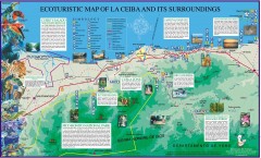
La Ceiba Ecotourism Map
Ecotourism map of La Ceiba, Honduras and its surroundings.
Near La Ceiba, Honduras
1800 × 1084•610 KB•JPG
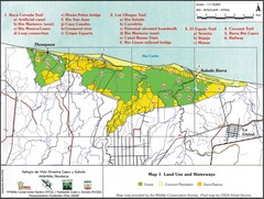
Refugio de Vida Silvestre Cuaro y Salado Mapa Map
Map of the Silvestre Cuaro and Salado Wildlife Refuge, Atlandida, Honduras.
Near Atlantida, Honduras
2933 × 2209•1.5 MB•JPG
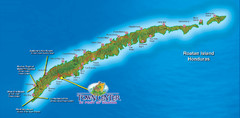
Roatan Island Tourist Map
1512 × 746•283 KB•JPG
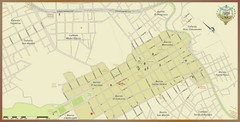
Santa Rosa de Copan, Honduras Tourist Map
Neighborhoods and aresa in Santa Rosa de Copan, Honduras
Near Santa Rosa de Copan, Honduras
2000 × 1015•222 KB•JPG
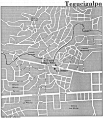
Tegucigalpa Honduras Map
Near Tegucigalpa Honduras
1277 × 1457•454 KB•JPG
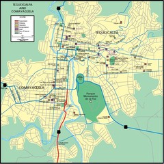
Tegucigalpa Map
631 × 632•115 KB•JPG
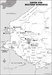
Western Honduras Map
1392 × 2006•281 KB•JPG
page 1 of 1


 Explore Maps
 Map Directory
