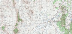
Delta Quad Sheet Detail 1972 Map
322 miles away
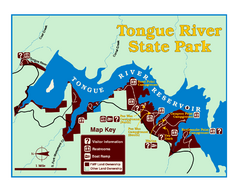
Tongue River Reservoir State Park Map
The 12-mile long reservoir is situated among scenic red shale, juniper canyons, and the open...
322 miles away
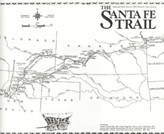
Santa Fe Trail Map
Historic map of the Santa Fe caravan trail
324 miles away
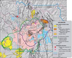
Yellowstone Geologic Map
Guide to geology, volcanic and earthquake activity and caldera outlines in Yellowstone National Park
327 miles away
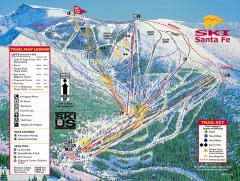
Ski Santa Fe Ski Trail Map
Official ski trail map of Ski Santa Fe ski area from the 2006-2007 season.
328 miles away
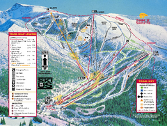
Ski Santa Fe Resort Ski Trail Map
Trail map from Ski Santa Fe Resort.
328 miles away
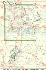
1929 Yellowstone and Grand Teton National Parks...
Map of older smaller boundaries of both national parks
329 miles away
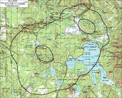
Yellowstone Lake Topographic Map
Topographic guide to Yellowstone Lake in Yellowstone National Park
330 miles away
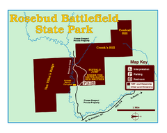
Rosebud Battlefield State Park Map
This National Historic Landmark on the rolling prairie of eastern Montana preserves the site of the...
330 miles away
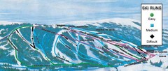
Kelly Canyon Ski Area Ski Trail Map
Trail map from Kelly Canyon Ski Area, which provides downhill, night, and terrain park skiing. It...
330 miles away
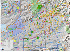
Santa Fe Bike and Trail Map
Trail and bikeway map of Santa Fe, New Mexico
334 miles away
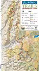
Dale Ball Trail Map
Map of the Dale Ball Trail system includes 22.2 miles of hiking and mountain biking trails that...
334 miles away
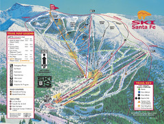
Santa Fe, New Mexico Ski Map
334 miles away
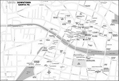
Downtown Santa Fe, New Mexico Map
334 miles away
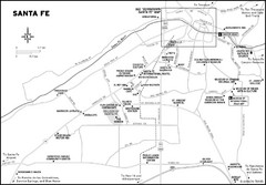
Santa Fe, New Mexico City Map
334 miles away
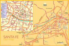
Santa Fe Tourist Map
Tourist map of Santa Fe, New Mexico. Inset shows downtown Santa Fe in detail.
334 miles away
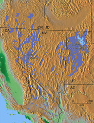
Pleisocene Lakes of western U.S. Map
335 miles away
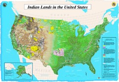
Indian Lands Map
Map of Indian Lands throughout the US
336 miles away
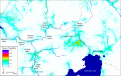
Bison Travel in Yellowstone National Park Map
General bison travel in Yellowstone National Forest, Wyoming
336 miles away
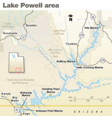
Lake Powell Area Map
Clear map marking the surrounding area of this pristine lake.
337 miles away
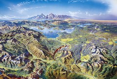
Yellowstone oblique Map
Oblique Panorama map of Yellowstone National Park
339 miles away
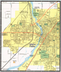
Idaho Falls, Idaho City Map
340 miles away

Lake Powell Oblique Map
341 miles away
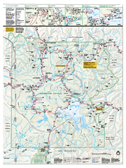
Yellowstone National Park official map
Official NPS map of Yellowstone National Park. Detail map of park with shaded relief. Established...
343 miles away
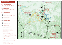
Kodachrome Basin State Park Map
Trail map of Kodachrome Basin State Park, Utah. Shows hiking trails and park facilities.
345 miles away
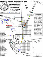
Rocky Point, New Mexico Tourist Map
345 miles away
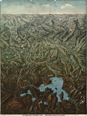
Fee’s map of Yellowstone National Park...
Charles S. Fee's map of Yellowstone in 1895.
346 miles away
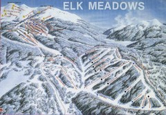
Elk Meadows Resort Ski Trail Map
Trail map from Elk Meadows Resort.
346 miles away
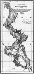
1871 Yellowstone River and Lake Map
Historic guide to the Yellowstone River and Lake in Yellostone National Park
347 miles away
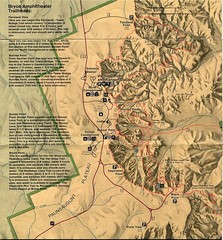
Brycec Canyon National Park Map
347 miles away

Bryce Canyon Official Park Map
Official NPS map of Bryce Canyon National Park in Utah. Map shows all areas. The park is open 24...
348 miles away
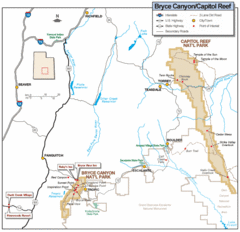
Bryce Canyon National Park Map
Roads, highways, rivers and points of interest are clearly marked on this simple map.
350 miles away
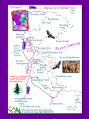
Bryce Canyon National Park Trails Map
350 miles away

Bryce Canyon National Park Map
350 miles away
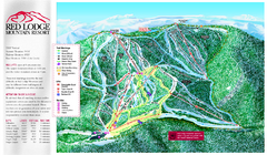
Red Lodge Mountain Ski Trail Map
Trail map from Red Lodge Mountain.
351 miles away
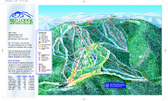
Red Lodge Mountain Ski Trail Map
Official ski trail map of Red Lodge Mountain ski area from the 2007-2008 season.
352 miles away

Little Big Horn Battlefield National Monument Map
Official NPS map of the Little Big Horn Battlefield National Monument. This area memorializes...
352 miles away
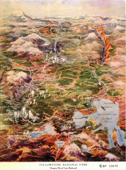
Detail of Yellowstone National Park, 1910 Map
Detail of Yellowstone National Park showing the Oregon Short Line Railroad, 1910
353 miles away
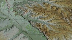
Custer Battlefield Oblique Map
354 miles away
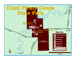
Chief Plenty Coups State Park Map
Simple and clear map of State Park.
354 miles away

