
 Edit this map

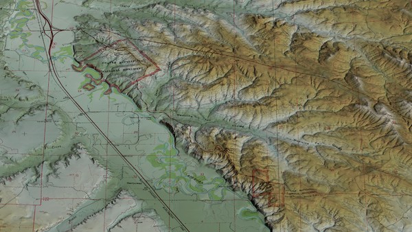
Custer Battlefield Oblique Map
near custer battlefield

 See more

Nearby Maps

Little Big Horn Battlefield National Monument Map
Official NPS map of the Little Big Horn Battlefield National Monument. This area memorializes...
2 miles away
Near Crow Agency, MT 59022
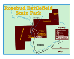
Rosebud Battlefield State Park Map
This National Historic Landmark on the rolling prairie of eastern Montana preserves the site of the...
31 miles away
Near Rosebud Battlefield State Park, MT, USA
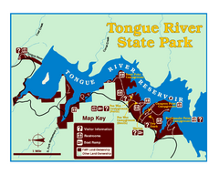
Tongue River Reservoir State Park Map
The 12-mile long reservoir is situated among scenic red shale, juniper canyons, and the open...
42 miles away
Near Tongue River State Park, MT, USA
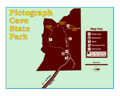
Pictograph Cave State Park Map
The 2,730-square-foot building, on the northwestern side of the existing parking lot, is designed...
49 miles away
Near Pictograph Cave State Park, MT, USA
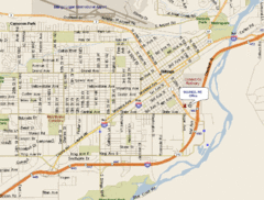
Billings, Montana City Map
54 miles away
Near Billings, Montana
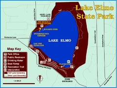
Lake Elmo State Park Map
This urban day-use park attracts visitors to swim, sailboard, and fish. A display in the Fish...
54 miles away
Near Lake Elmo State Park, MT, USA

 See more


 Explore Maps
 Map Directory
 click for
 Fullsize

0 Comments
New comments have been temporarily disabled.