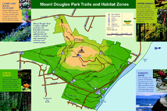
Mount Douglas Park Trails and Habitat Zones Map
64 miles away
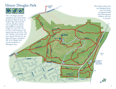
Mount Douglas Park Map
65 miles away
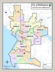
Bellingham Ward Map
Guide to wards in Bellingham, WA
65 miles away
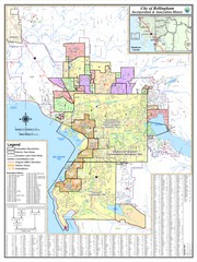
Bellingham, Washington City Map
65 miles away
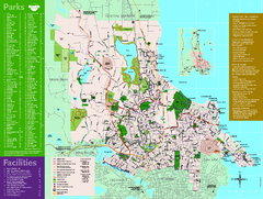
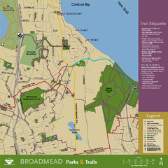
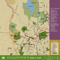
Full Map of Saanich Parks & Trails 2012
Full Map of Saanich Parks & Trails 2012
66 miles away

Galloping Goose and Lochside Regional Trails Map
67 miles away
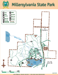
Millersylvania State Park Map
Map of park with detail of trails and recreation zones
67 miles away
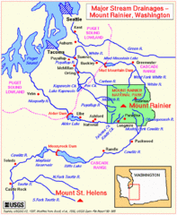
Mount Rainier Major Stream Drainages Map
68 miles away
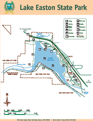
Lake Easton State Park Map
Map of island with detail of trails and recreation zones
68 miles away
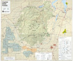
Capitol State Forest Map
70 miles away
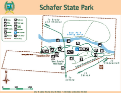
Schafer State Park Map
Map of park with detail of trails and recreation zones
71 miles away
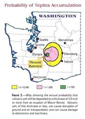
Mount Rainier Probability of Tephra (Ash...
71 miles away
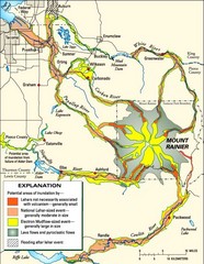
Mount Rainier Potential Lava Flow, Mud Flow and...
Hazard zones for lahars, lava flows, and pyroclastic flows from Mount Rainier. The map shows areas...
71 miles away
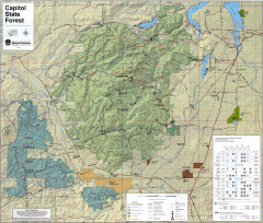
Capitol State Forest Map
Shows all trails in Capitol State Forest and surrounding area, including Lower Chehalis State...
71 miles away
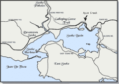
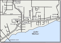
Community of Sooke, British Columbia Map
http://www.sooke.org/maps/map2.htm © Pax Media Inc.
72 miles away
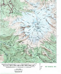
Mt. Baker Topo Map
Topo map of Mt. Baker, Washington, elevation 10,778ft.
72 miles away
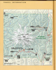
Mount Rainier National Park Map
Guide to the Mount Rainier National Park
72 miles away

rthsaanich.ca District Map
72 miles away
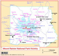
Mount Rainier National Park Vicinity Map
72 miles away
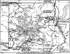
1928 Mount Rainier National Park Map
Guide to Mount Rainier National Park in 1938
73 miles away

Mt. Rainier 3D Print Map
This is a 3D-printed map of the cone of Mt. Rainier in Washington, USA, including Liberty Cap, many...
73 miles away
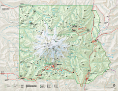
Mount Rainier National Park map
Official NPS map of Mt. Rainier National Park. Shows the entire park and surroundings
73 miles away
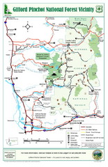
Gifford Pinchot National Forest Vicinity Map
Gifford Pinchot National Forest and surrounding areas including Mt. St Helens.
74 miles away
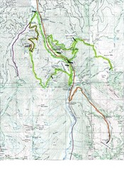
White River 50 Course Map
White River 50 Mile Trail Run
74 miles away
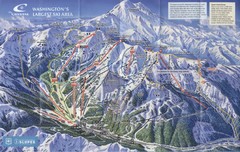
Crystal Mountain Resort Ski Trail Map
Trail map from Crystal Mountain Resort, which provides downhill skiing. It has 10 lifts servicing...
74 miles away
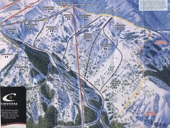
Crystal Mountain Resort Northway Inset Ski Trail...
Trail map from Crystal Mountain Resort, which provides downhill skiing. It has 10 lifts servicing...
74 miles away
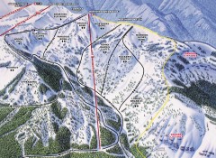
Crystal Mountain Ski Trail Map - Northway Area
Official ski trail map of the Northway area of Crystal Mountain ski area from the 2007-2008 season...
74 miles away
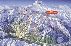
Crystal Mountain Ski Trail Map
Official ski trail map of Crystal Mountain ski area from the 2007-2008 season. 2600 acres of...
74 miles away

The Town of Sidney - Parks Map
74 miles away
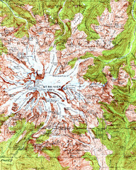
Mount Rainier Topographic Map
Guide to topography and glaciers of Mount Rainier
74 miles away
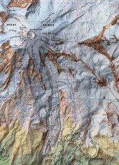
Mt. Rainier Climbing Routes Map
Shows major climbing routes on Mt. Rainier on southwest part of mountain.
75 miles away
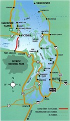
British Columbia, Canada Tourist Map
75 miles away
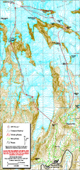
Mount Rainier Paradise Climbing Route map
Map shows all hiking and climbing routes originating from Paradise at 5,400 ft.
76 miles away
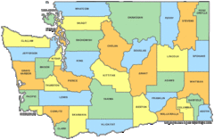
Washington State Counties Map
76 miles away
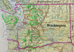
Washington State Road and Recreation Map
76 miles away
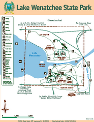
Lake Wenatchee State Park Map
Map of island with detail of trails and recreation zones
77 miles away
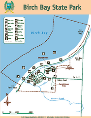
Birch Bay State Park Map
Map of park with detail of trails and recreation zones
77 miles away

