
 Edit this map

Mt. Rainier 3D Print Map
near Mt Rainier, Washington
View Location
This is a 3D-printed map of the cone of Mt. Rainier in Washington, USA, including Liberty Cap, many glaciers, and Little Tahoma Peak. It is available on Shapeways in three sizes: 4" (100mm), 6" (150mm) and 8" (200mm) squares. The maps covers an area 7.8 miles on a side, and contains sub-mm printed details.

 See more

Nearby Maps
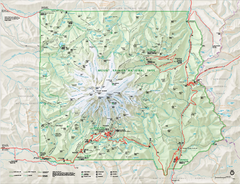
Mount Rainier National Park map
Official NPS map of Mt. Rainier National Park. Shows the entire park and surroundings
2 miles away
Near Mount Rainier National Park, WA
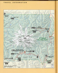
Mount Rainier National Park Map
Guide to the Mount Rainier National Park
2 miles away
Near Mount Rainier, WA, US
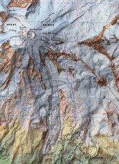
Mt. Rainier Climbing Routes Map
Shows major climbing routes on Mt. Rainier on southwest part of mountain.
2 miles away
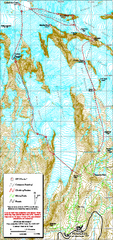
Mount Rainier Paradise Climbing Route map
Map shows all hiking and climbing routes originating from Paradise at 5,400 ft.
3 miles away
Near Mount Rainier National Park, WA
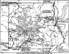
1928 Mount Rainier National Park Map
Guide to Mount Rainier National Park in 1938
3 miles away
Near Mount Rainier, WA, US
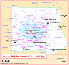
Mount Rainier National Park Vicinity Map
3 miles away
Near Mount Rainier Washington

 See more


 Explore Maps
 Map Directory
 click for
 Fullsize

0 Comments
New comments have been temporarily disabled.