Imajō 365 Ski Trail Map
Trail map from Imajō 365.
0 miles away

Mt. Pleasant Ski Trail Map
Trail map from Mt. Pleasant.
0 miles away

Schliersee Ski Trail Map
Trail map from Schliersee.
0 miles away
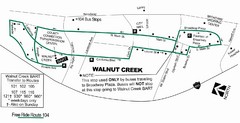
Walnut Creek Bart Stop Map
Stops and transfers for alternative transportation in Walnut Creek.
0 miles away

2006 Political Map of the World
World map showing Tropics and Subtropics
0 miles away

1995 GDP World Maps Map
Guide to Gross Domestic Product worldwide in 1995
0 miles away
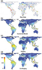
Global Biodiversity Map
Guide of biodiversity for plant conservation
0 miles away
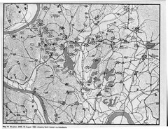
North Korean Counterattacks of the Korean War Map
A map of the study of U.S. counterattack theory as it existed during the defense of the Pusan...
0 miles away
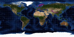
Ferranti's DEM World Map
The map shows the current coverage of Jonathan de Ferranti's Digital Elevation Model (DEM).
0 miles away

World Elevation Grey Map
Map shows the elevations of the world (higher=whiter, lower=darker;). Plate Carée...
0 miles away
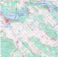
Upper Ottawa Valley, Ontario Topographic Map
Very mixed terrain, with several areas of rough, woods, water, and towns.
0 miles away
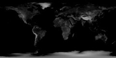
Earth Elevation Bump Map
Earth Elevation/Bump in Black and White
0 miles away
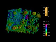
Digital Elevation Map of Lunar South Pole
Image brightness is generated from the strength of the radar echoes that are bounced of the lunar...
0 miles away
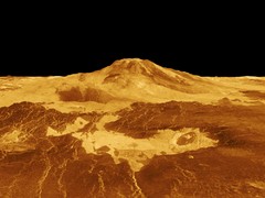
Magellan Venus Map
Digital elevation map of Venus from Magellan.
0 miles away
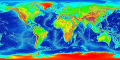
Printable World Map Elevation Wik
World map with colored elevation
0 miles away
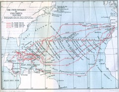
Columbus Voyages Map
Shows the four voyages of Columbus 1492-1503. Based upon the map in Bourne's Spain in America...
266 miles away
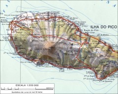
Topo map of Pico
Topographical map of Pico Island showing Pico 7713 ft/2351 m. From skimountaineer.com: "The...
794 miles away
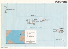
Azores Islands Map
856 miles away
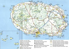
Terceira Island Map
Terceira island, cities, and roads.
856 miles away
Hurricane Tracking Chart, Atlantic Map
This is a fun and potentially (if you live in the right place) useful map.
936 miles away
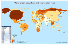
World Prison Population and Incarceration Rates...
Technically this is a "bi-variate cartogram". It is a combination of a cartogram (country...
1081 miles away
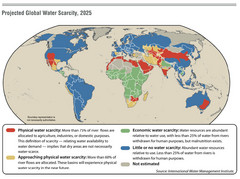
Projected Global Water Scarcity 2025 World Map
World map detailing projected water scarcity in 2025
1081 miles away
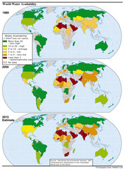
Water Availability World Map
World map of water availability with prediction of 2015
1081 miles away

Vulnerable Single-Commodity-Dependent Economies...
World map of countries dependent on single-commodity output product
1081 miles away
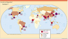
Growth of Megacities Map
World map detailing predicted growth in major world cities
1081 miles away
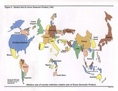
Market Size World Map
World map detailing the various market sizes of countries as of 1995
1081 miles away
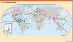
Illicit Trafficking Routes World Map
World map detailing various illicit trafficking routes
1081 miles away

Age of Discovery World Map
Age of discover (1340-1600) historical map
1081 miles away

Colonial World Map 1772
Historical world map of European colonization (1772)
1081 miles away

World Ethnic Diversity Map
Map of ethnic diversities of various nations
1081 miles away
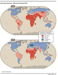
World Age Structure Map
Map of age distribution throughout the world in 2005, prediction of 2025
1081 miles away
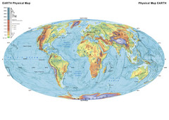
World Physical Map
A physical or relief map of the world
1081 miles away
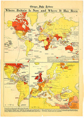
British Empire History Map
Guide to the rise and fall of the British Empire
1081 miles away
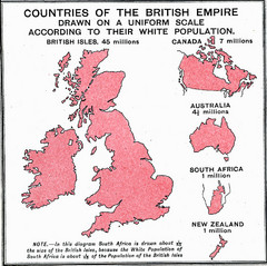
British Empire by Population Map
Guide to the British Empire by White Population, size of country determined by amount of white...
1081 miles away
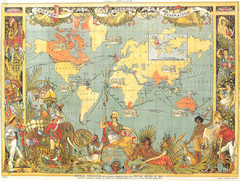
1886 British Empire Map
Guide to the British Empire as of 1886, beautiful illustrated map
1081 miles away
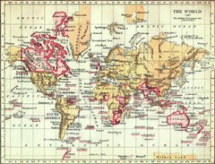
1897 British Empire Map
Guide to the British Empire and holdings as of 1897
1081 miles away

