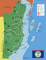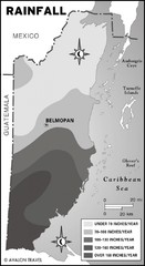
Belize rainfall Map
3649 miles away
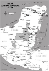
Mayan Archaeological sites in Belize Map
3651 miles away

Turneffe Islands atoll Map
3654 miles away
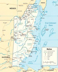
Belize Map
Detailed map of Belize showing cities, roads, railroads and boundaries.
3655 miles away
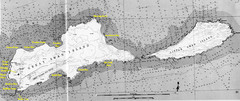
Islas del Cisne, Honduras Map
3658 miles away
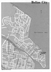
Belize City - U.S. Department of State, 1981 Map
3658 miles away
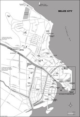
Belize City map
Detailed map of the Belize City road system.
3658 miles away

Putrajaya Tourist Map
3661 miles away

Venezuela Map
3670 miles away
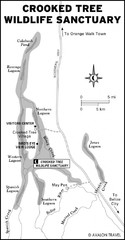
Crooked Tree Wildlife Sanctuary Map
3671 miles away
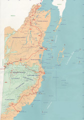
Belize Map
3672 miles away
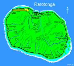
Rarotonga Island Map
Clear map marking rivers and towns.
3680 miles away
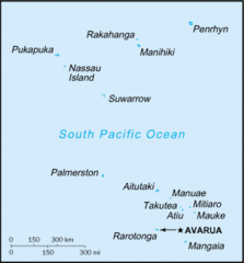
Cook Islands Tourist map
3681 miles away
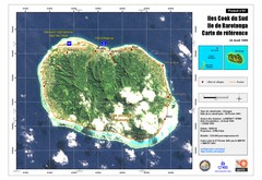
Rarotonga Island Map
Reference map of Rarotonga Island. In French.
3681 miles away
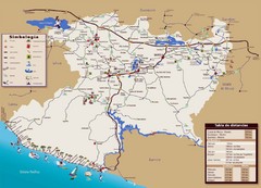
Michoacan State Tourist Map
Tourist map of the state of Michoacan, Mexico
3684 miles away
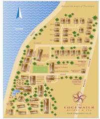
Edgewater Resort, Rarotonga, Cook Is Map
3684 miles away
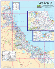
Veracruz Road Map
Detailed road map of the state of Veracruz. Inset of Veracruz city surroundings. In Spanish.
3686 miles away
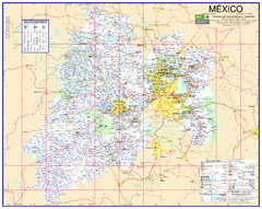
State of Mexico Road Map
Detailed road map of the Mexican state of Mexico. In Spanish.
3686 miles away
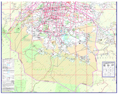
Mexico City (Distrito Federal) Map - South
Detailed street map of the south part of Mexico City (Distrito Federal). In Spanish.
3687 miles away
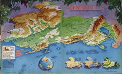
Venezuela from the North Map
Shows shaded relief of Venezuela with three thematic maps: population, states and physiograpy
3688 miles away

San Pedro Tourist Map
Tourist map of town of San Pedro on island of Ambergris Caye, Belize
3690 miles away

Route of Cortez Map
3691 miles away
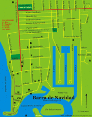
Barra de Navidad Tourist Map
3693 miles away
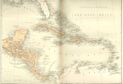
Central America and the West Indies Map
Historical Map of Central America and the West Indies Map
3694 miles away
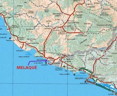
Melaque, Mexico Beach Tourist Map
3695 miles away
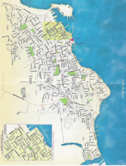
Veracruz City Map
Veracruz city map with Language Immersion School highlighted
3695 miles away
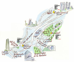
Santa Fe shopping area Map
Map created for Vogue's Fashion's Night Out in Mexico City, The map shows locations of...
3695 miles away
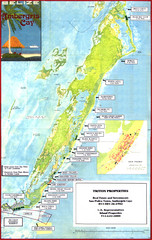
Ambergris Caye Tourist Map
Tourist map of island of Ambergris Caye, Belize. Inset shows town of San Pedro.
3700 miles away
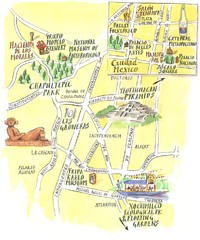
Mexico city illustrated map
Map of Mexico City produced by Mapsillustrated for Molson-Coors magazine Cheers.
3700 miles away
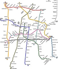
Mexico City, Mexico Bus System Map
3700 miles away
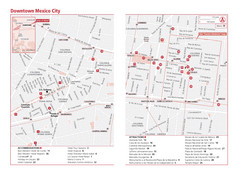
Mexico City, Mexico Tourist Map
3700 miles away
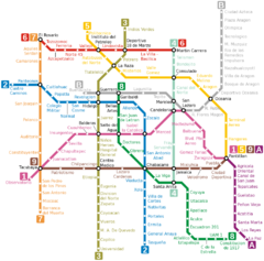
Mexico City, Mexico Metro System Map
3700 miles away
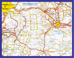
Mexico City, Mexico Bus System Map
3700 miles away
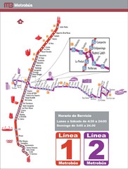
Mexico City, Mexico Bus System (Routes 1 and 2...
3700 miles away
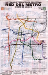
Mexico City, Mexico Metro System Map
3700 miles away
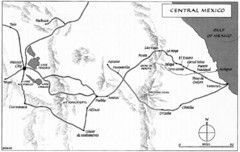
Invasion of Veracruz to Mexico City Historical Map
3701 miles away
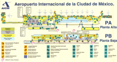
Mexico City Airport Map
Terminal map of Mexico City Airport (MEX).
3701 miles away
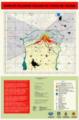
Colima Volcano Hazard Map
Hazard map for the Volcan de Colima showing potential danger areas near Colima, Mexico. In Spanish.
3701 miles away

Mexico City (Distrito Federal) Map - North
Detailed street map of the north part of Mexico City (Distrito Federal). In Spanish.
3713 miles away

