
 Edit this map

Mexico city illustrated map
near mexico city

 See more

Nearby Maps
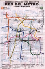
Mexico City, Mexico Metro System Map
0 miles away
Near Mexico City, Mexico
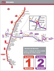
Mexico City, Mexico Bus System (Routes 1 and 2...
0 miles away
Near Mexico City, Mexico
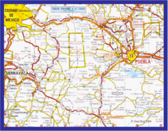
Mexico City, Mexico Bus System Map
0 miles away
Near Mexico City, Mexico
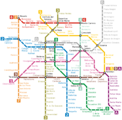
Mexico City, Mexico Metro System Map
0 miles away
Near Mexico City, Mexico
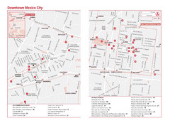
Mexico City, Mexico Tourist Map
0 miles away
Near Mexico City, Mexico
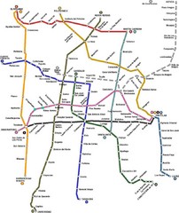
Mexico City, Mexico Bus System Map
0 miles away
Near Mexico City, Mexico

 See more


 Explore Maps
 Map Directory
 click for
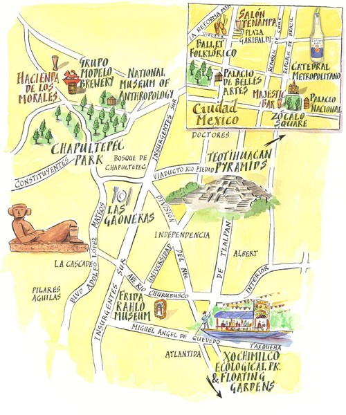
 Fullsize

0 Comments
New comments have been temporarily disabled.