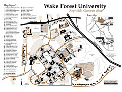
Wake Forest University Map
Campus map of Reynolda Campus
176 miles away
Blue Ridge Parkway Official Map
Official NPS map of the Blue Ridge Parkway. The Parkway meanders 469 miles through Virginia and...
176 miles away
New River Trail State Park Map
Clear and detailed state park map.
178 miles away
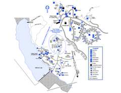
Little Ocmulgee State Park Map
Map of park with detail of trails and recreation zones
179 miles away
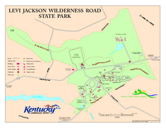
Levi Jackson Wilderness Road State Park Map
Map of trails and facilities of Levi Jackson Wilderness Road State Park.
179 miles away
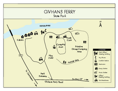
Givhans Ferry State Park Map
Map marked with shelter, phone, restrooms, picnic and more.
181 miles away
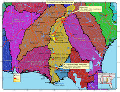
Drainage Basins of the Southeast United States Map
Lakes, rivers and dams in the Apalachicola, Chattahoochee and Flint River System.
182 miles away
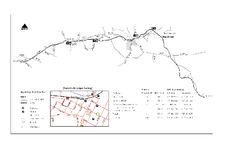
High Bridge Trail Map
Take a hike down this amazing Virginia trail.
182 miles away
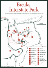
Breaks Interstate Park Map
Clear park map and legend.
182 miles away
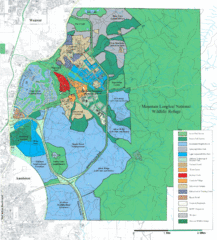
Mcclellan Land Use Map
"When the last note of taps played and the garrison flag was lowered at Fort McClellan in...
183 miles away
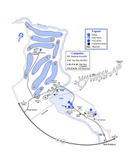
Gordonia-Alatamaha State Park Map
Map of park with detail of trails and recreation zones
184 miles away
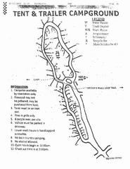
Hanging Rock, campground site map
Hanging Rock State park, map of family campground sites
186 miles away
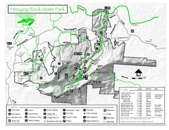
Hanging Rock state park Map
Interior color map of Hanging Rock State Park.
187 miles away
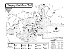
Hanging Rock State Park map
Detailed recreation map for Hanging Rock State Park in North Carolina
187 miles away
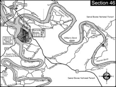
Burnside, KY-Cumberland River Map
Burnside, Kentucky is located at the fork of the Cumberland River and the South Fork. This is...
187 miles away
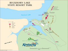
Buckhorn Lake State Resort Park Map
Map of Trails and Facilities of Buckhorn Lake State Resort Park.
188 miles away
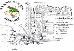
Manitoulin Resort Map
189 miles away

Guntersville Lake Map
189 miles away

Summerville, South Carolina Tourist Map
192 miles away
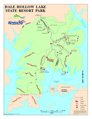
Dale Hollow Lake State Park Map
Map of trails and facilities of Dale Hollow Lake State Park.
194 miles away
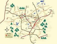
Pinehurst Golf Map
194 miles away
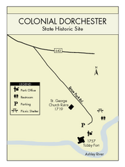
Colonial Dorchester State Park Map
Office, parking, picnic sites and more are all clearly marked on this state park site.
195 miles away
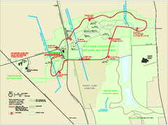
Guilford Courthouse National Military Park...
Official NPS map of Guilford Courthouse National Military Park in North Carolina. Open All Year 8...
197 miles away
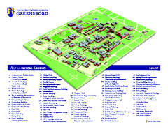
The University of North Carolina - Greensboro Map
The University of North Carolina - Greensboro Campus Map. All buildings shown.
197 miles away
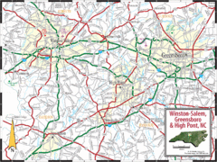
Greensboro, North Carolina City Map
197 miles away
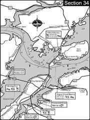
Guntersville, AL Tennessee River/Lake...
For boating navigational information and river road travel along the Tennessee River. This section...
197 miles away
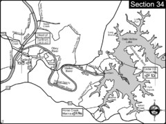
Celina, TN Dale Hollow Lake-Cumberland River Map
Celina Tennessee is the location for the head of navigation for the Cumberland River at the fork of...
197 miles away
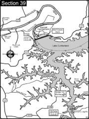
Lake Cumberland-Cumberland River Map
Lake Cumberland is formed by a dam on the Cumberland River in Section 39 of the Cumberland River...
197 miles away
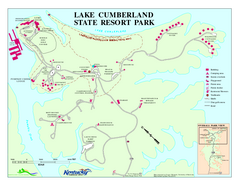
Lake Cumberland State Resort Park Map
Map of trails and facilities for Lake Cumberland State Resort Park.
198 miles away
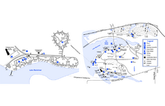
Georgia Veterans State Park Map
Map of park with detail of trails and recreation zones
198 miles away
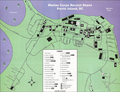
Parris Island Marine Corps Recruit Depot Map
Map of the Parris Island Marine Corps Recruit Depot near Beaufort, South Carolina. Shows...
204 miles away

Charleston, South Carolina City Map
204 miles away
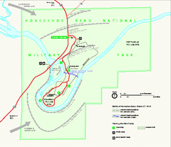
Horseshoe Bend National Military Park Official Map
Official NPS map of Horseshoe Bend National Military Park in Alabama. Horseshoe Bend National...
204 miles away
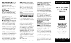
Claytor Lake State Park Map
Map of this beautiful state park.
205 miles away
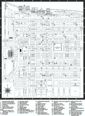
Savannah Historic District map
Map of Savannah, Georgia's historic district. Shows popular places
206 miles away
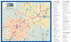
Auburn and Opelika City Map
Map of Auburn and Opelika, Alabama with tourist information.
206 miles away
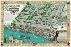
Savannah Historic District Illustrated Map
This Americana-style illustrated map depicts the Savannah Historic District from a birds-eye-view...
207 miles away
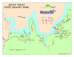
Jenny Wiley State Resort Park Map
Map of trails and facilities of Jenny Wiley State Resort Park.
209 miles away
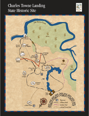
Charles Towne Landing State Park Map
This small park is full of beautiful hiking trails set in a natural setting.
209 miles away
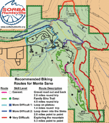
Monte Sano State Park Bike Routes Map
Recommended Biking Routes for Monte Santo with Easy to difficult routes marked.
209 miles away

