
 Edit this map

Savannah Historic District Illustrated Map
near Savannah, GA
View Location
This Americana-style illustrated map depicts the Savannah Historic District from a birds-eye-view perspective. It is loaded with history facts, ghost stories, hidden items, and pictorial depictions of popular attractions - including the entire length of River Street. Perfect for tourists on walking or trolley tours. Folded size of 4x9" opens to 18x27". Business side of map functions as a utilitarian guide that lists dining, lodging, museums, shopping, and tours with easy-to-find map grid locations.
See an error? Report it.
Keywords
tourism, savannah, savannah historic district, georgia, river street, cobblestone, savannah map, savannahmap, savannah, city, map
 See more

Nearby Maps
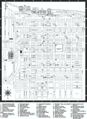
Savannah Historic District map
Map of Savannah, Georgia's historic district. Shows popular places
less than 1 mile away
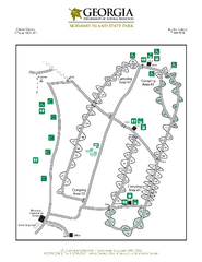
Skidaway Island State Park Map
Map of park with detail of trails and recreation zones
8 miles away

Fort McAllister Historic Park Map
Map of park with detail of trails and recreation zones
14 miles away

Hilton Head Run for Ret 5K Race Course Map
Hilton Head Island Run for Ret 5K Race Course, Aug 30, 2008.
19 miles away
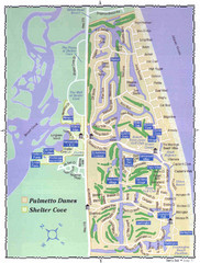
Palmetto Dunes Map
22 miles away
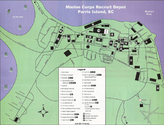
Parris Island Marine Corps Recruit Depot Map
Map of the Parris Island Marine Corps Recruit Depot near Beaufort, South Carolina. Shows...
30 miles away

 See more


 Explore Maps
 Map Directory
 click for
 Fullsize

0 Comments
New comments have been temporarily disabled.