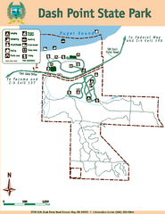
Dash Point State Park Map
Map of park with detail of trails and recreation zones
250 miles away
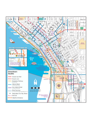
Downtown Seattle Bikeways Map
Map of bike paths, bike lanes, public transportation and points of interest in Seattle, Washington.
250 miles away
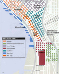
Seattle Neighborhoods Map
Map outlines several neighborhoods in Seattle, Wahsington
250 miles away
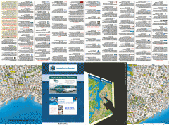
Downtown Seattle biotech map
Downtown Seattle map of biotechnology companies.
250 miles away
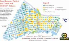
Seattle City Parks Map
250 miles away
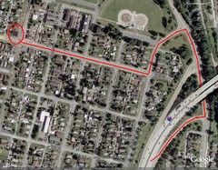
19th and Walnut in Everett, WA Map
250 miles away
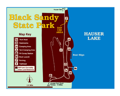
Black Sandy State Park Map
Simple but clear map of State Park.
250 miles away
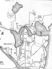
Seattle Historic Bike Paths Map
Historic bike paths in Seattle
251 miles away
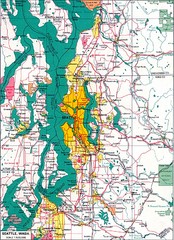
Seattle Region Map
251 miles away
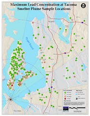
Tacoma Lead Concentration Map
A map of maximum lead concentrations near Tacoma.
251 miles away
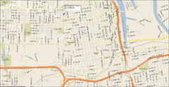
Tacoma, Washington City Map
251 miles away
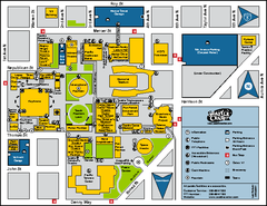
Seattle City Center, Washington Map
Map of points of interest in Seattle Center. KeyArena, the Space Needle, theaters, parking and...
251 miles away
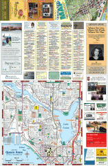
Queen Anne tourist map
Tourist map of Queen Anne, Washington. shows all businesses.
251 miles away
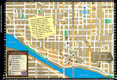
Fremont Walking Tour Map
Walking tour map of Fremont Washington in city of Seattle. Center of the known universe. Shows...
251 miles away
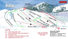
Sun Valley—Bald Mountain Ski Trail Map
Trail map from Sun Valley—Bald Mountain, which provides downhill, nordic, and terrain park skiing...
251 miles away
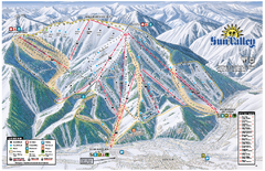
Sun Valley Ski Area Trail Map
Official ski trail map of Bald Mountain, the main mountain of Sun Valley ski area in Sun Valley...
251 miles away
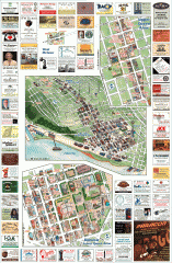
Queen Anne tourist map
Tourist map of Queen Anne, Washington. Shows all businesses.
251 miles away
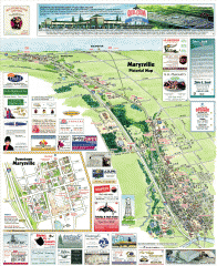
Marysville tourist map
Tourist map of Marysville, Washington. Shows all businesses.
251 miles away
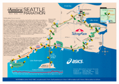
Seattle Marathon Map
Full Map of the Seattle Marathon with run details and location.
252 miles away
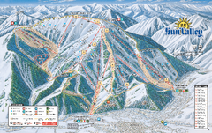
Sun Valley Ski Trail Map 2008
Ski trail map of Sun Valley ski area
252 miles away
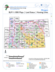
Oregon Hunting Unit/BLM Map Index
This map shows which BLM land ownership maps cover all hunting units in Oregon. Color indicates...
252 miles away
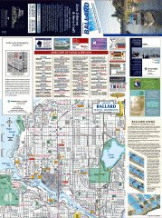
Ballard tourist map
Tourist map of Ballard, Washington and Green Lake Park. Shows all businesses.
252 miles away
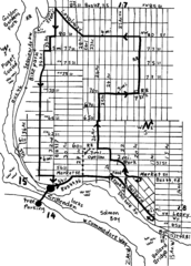
Ballard, Seattle walking map
Start/finish at the Crittendon Locks in Ballard, Seattle. The total map is 6.4 miles, but has...
252 miles away
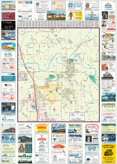
Arlington tourist map
Tourist map of Arlington, Washington. Shows all businesses.
253 miles away
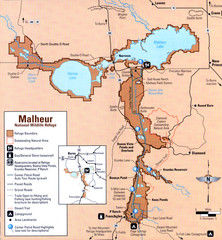
Malheur National Wildlife Refuge Map
Detailed Map of the Malheur Wildlife Refuge in Oregon showing places of interest, roads and...
253 miles away
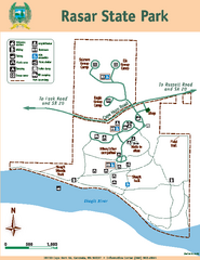
Rasar State Park Map
Map of park with detail of trails and recreation zones
253 miles away
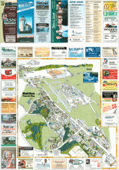
Mukilteo tourist map
Mukilteo, Washington tourist map. Shows all businesses.
253 miles away
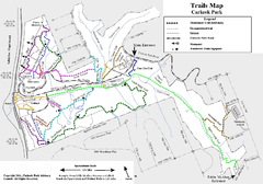
Carkeek Park Trail Map
Trail map of Carkeek Park on the Puget Sound, Seattle, WA. Shows maintained and unmaintained trails.
253 miles away
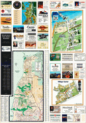
Mukilteo tourist map
Greater Mukilteo, Washington tourist map. Shows all businesses.
253 miles away
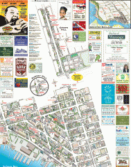
Ballard tourist map
Tourist map of Ballard, Washington. Shows all businesses.
253 miles away
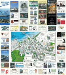
Downtown Edmonds tourist map
Tourist map of Downtown Edmonds, Washington. Shows all businesses.
254 miles away

Magnolia tourist map
Tourist map of Magnolia, Washington. Shows all businesses.
254 miles away
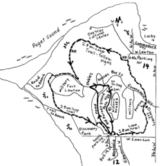
Discovery Park Walking Map Seattle Map
You can walk the Historic Parade Grounds in Fort Lawton (1.5 miles) and/or the 2.8 mile Trail Loop...
254 miles away
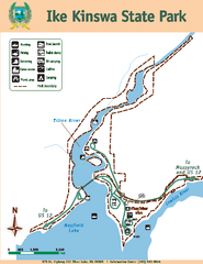
Ike Kinswa State Park Map
Map of park with detail of trails and recreation zones
254 miles away
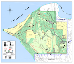
Discovery Park trail map
Trail and facility map of Discovery Park. Discovery Park is a 534 acre natural area park operated...
255 miles away
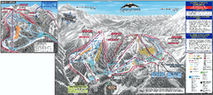
Mt. Baker Ski Trail Map
Official ski trail map of Mount Baker ski area from the 2007-2008 season.
255 miles away
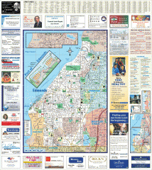
Edmonds tourist map
Tourist map of Edmonds, Washington. Shows all businesses.
255 miles away
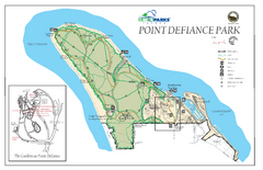
Point Defiance Park Map
255 miles away

Arlington and Smokey Point tourist map
Tourist map of Arlington and Smokey Point, Washington. Shows all businesses.
255 miles away

