
 Edit this map

Ballard, Seattle walking map
near Seattle, Washington
View Location
Start/finish at the Crittendon Locks in Ballard, Seattle. The total map is 6.4 miles, but has several short cuts. If you can follow this map without specific directions, most likely you are a man. Most women prefer written directions, which are included with the map in the guidebook "Seattle Townscape Walks".

 See more

Nearby Maps
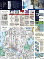
Ballard tourist map
Tourist map of Ballard, Washington and Green Lake Park. Shows all businesses.
less than 1 mile away
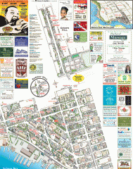
Ballard tourist map
Tourist map of Ballard, Washington. Shows all businesses.
less than 1 mile away
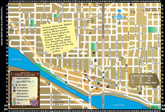
Fremont Walking Tour Map
Walking tour map of Fremont Washington in city of Seattle. Center of the known universe. Shows...
2 miles away
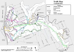
Carkeek Park Trail Map
Trail map of Carkeek Park on the Puget Sound, Seattle, WA. Shows maintained and unmaintained trails.
2 miles away
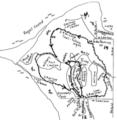
Discovery Park Walking Map Seattle Map
You can walk the Historic Parade Grounds in Fort Lawton (1.5 miles) and/or the 2.8 mile Trail Loop...
2 miles away
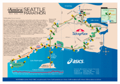
Seattle Marathon Map
Full Map of the Seattle Marathon with run details and location.
3 miles away

 See more


 Explore Maps
 Map Directory
 click for
 Fullsize

0 Comments
New comments have been temporarily disabled.