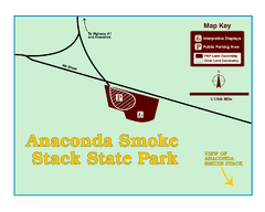
Anaconda Smoke Stack State Park Map
Simple map of State Park.
206 miles away

Kootenay Rockies Map
The Kootenay Rockies Range in British Columbia, Canada
210 miles away
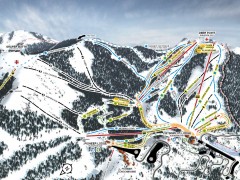
Bogus Basin Ski Trail Map - Front
Official ski trail map of frontside of Bogus Basin ski area from the 2007-2008 season.
211 miles away

Glacier National Park by carvedmaps.com Map
Wooden carved map of Glacier National Park by carvedmaps.com Anywhere in the United States maps...
211 miles away
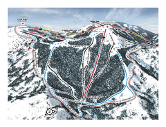
Bogus Basin Pine Creek Ski Trail Map
Trail map from Bogus Basin, which provides downhill, night, nordic, and terrain park skiing. It has...
211 miles away
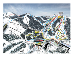
Bogus Basin Frontside Ski Trail Map
Trail map from Bogus Basin, which provides downhill, night, nordic, and terrain park skiing. It has...
211 miles away
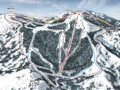
Bogus Basin Ski Trail Map - Pine Creek
Official ski trail map of Pine Creek area of Bogus Basinski area from the 2007-2008 season.
211 miles away
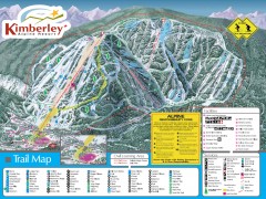
Kimberley Ski Trail Map
Official ski trail map of Kimberley ski area from the 2007-2008 season.
212 miles away
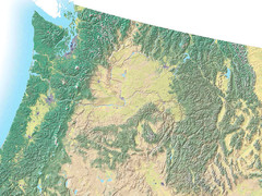
Northwest USA topo Map
212 miles away
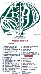
Maverick Mountain Ski Area Ski Trail Map
Trail map from Maverick Mountain Ski Area.
212 miles away
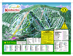
Kimberley Alpine Resort Ski Trail Map
Trail map from Kimberley Alpine Resort.
212 miles away
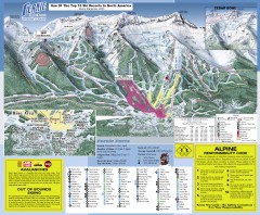
Fernie Ski Trail Map
Official ski trail map of Fernie ski area from the 2007-2008 season.
212 miles away
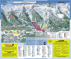
Fernie Alpine Resort Ski Trail Map
Trail map from Fernie Alpine Resort, which provides downhill and nordic skiing. This ski area has...
213 miles away
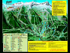
Fernie Alpine Resort 2007 Fernie Summer Map
Trail map from Fernie Alpine Resort, which provides downhill and nordic skiing. This ski area has...
213 miles away
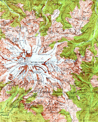
Mount Rainier Topographic Map
Guide to topography and glaciers of Mount Rainier
213 miles away
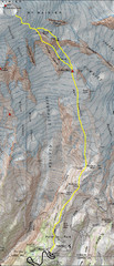
Mount Rainier Climbing Map
Guide to climbing Mount Rainier, Camp Muir Route
213 miles away
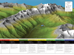
Island Lake Hiking Map
Hiking trail map of Island Lake area near Fernie, BC
214 miles away
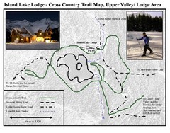
Island Lake Lodge Ski Trail Map
Trail map from Island Lake Lodge, which provides nordic skiing. This ski area has its own website.
214 miles away
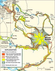
Mount Rainier Potential Lava Flow, Mud Flow and...
Hazard zones for lahars, lava flows, and pyroclastic flows from Mount Rainier. The map shows areas...
214 miles away
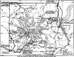
1928 Mount Rainier National Park Map
Guide to Mount Rainier National Park in 1938
214 miles away
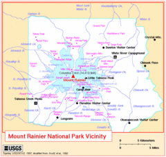
Mount Rainier National Park Vicinity Map
214 miles away
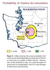
Mount Rainier Probability of Tephra (Ash...
214 miles away
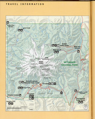
Mount Rainier National Park Map
Guide to the Mount Rainier National Park
215 miles away
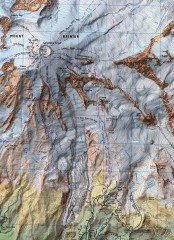
Mt. Rainier Climbing Routes Map
Shows major climbing routes on Mt. Rainier on southwest part of mountain.
215 miles away
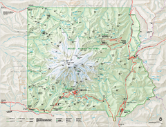
Mount Rainier National Park map
Official NPS map of Mt. Rainier National Park. Shows the entire park and surroundings
216 miles away
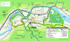
Fernie Town Trails Map
Trail map of recreational trails in and around town of Fernie, BC
216 miles away
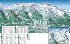
Fernie Alpine Trail Map
Ski trail map
216 miles away
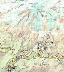
Pinnacle Saddle Trail Map
216 miles away
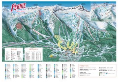
Fernie Mountain Trail Map
216 miles away
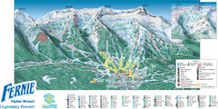
Fernie Mountain Trail Map
216 miles away
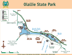
Olallie State Park Map
Map of park with detail of trails and recreation zones
216 miles away
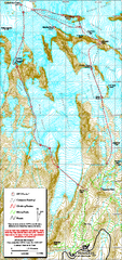
Mount Rainier Paradise Climbing Route map
Map shows all hiking and climbing routes originating from Paradise at 5,400 ft.
216 miles away
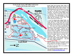
Fernie Golf Course Ski Trail Map
Trail map from Fernie Golf Course, which provides nordic skiing. This ski area has its own website.
217 miles away

Mt. Rainier 3D Print Map
This is a 3D-printed map of the cone of Mt. Rainier in Washington, USA, including Liberty Cap, many...
217 miles away
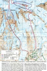
Mount Rainier Topo Map
Map of Mount Rainier Ascent. We ascended the "Muir Snowfield" and then went up the "...
217 miles away
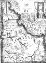
Idaho 1883 Map
219 miles away
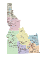
Idaho Road Map
219 miles away
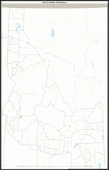
Idaho Zip Code Map
Check out this Zip code map and every other state and county zip code map zipcodeguy.com.
219 miles away
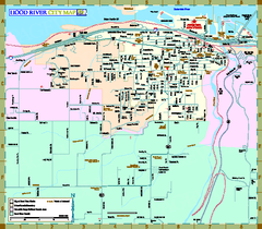
Hood River Map
Tourist map of city of Hood River, Oregon.
220 miles away
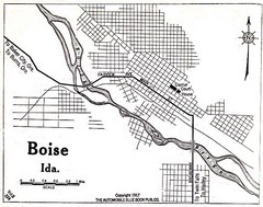
Boise Idaho 1917 Map
220 miles away

