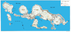
New Georgia Group War Map
Shows Allied landings 1943
3187 miles away
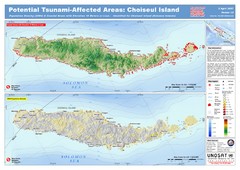
Tunami Affected Areas of Choiseul Island Map
The map illustrates the areas 10m and below potentially affected by the tsunami on the coast of...
3189 miles away
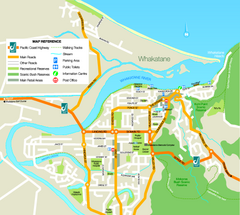
Whakatane Town Map
3196 miles away
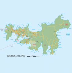
Waiheke Island Map
Reference map of Waiheke Island in the Hauraki Gulf of New Zealand. From waihekenz.com:"...
3196 miles away
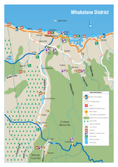
Whakatane District Map
Tourist map of Whakatane region
3196 miles away
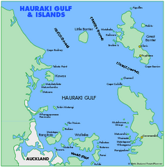
Haukari Gulf Map
3197 miles away
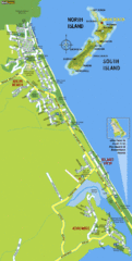
Waihi Beach Tourist Map
3199 miles away
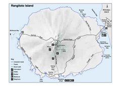
Rangitoto Island Map
Overview map of Rangitoto Island, New Zealand, a volcanic island public reserve.
3203 miles away
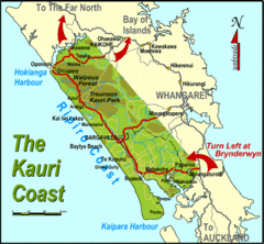
Kauri Coast Map
Map of Kauri Coast region
3205 miles away
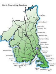
North Shore, New Zealand Beach Map
3207 miles away
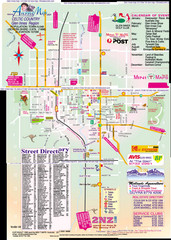
Glen Innes Map
3208 miles away
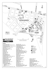
University of Auckland - Tamaki Campus Map
Map and directory of the Tamaki Campus of the University of Auckland.
3209 miles away
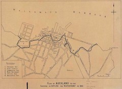
Auckland's Waterfront - Pre-1930 Map
Map of Auckland's waterfront from prior to 1930. Shows the outline of the 1841 waterfront...
3210 miles away
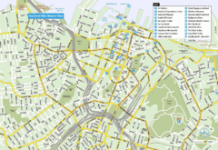
Auckland City Central Map
Map of Auckland, Australia, city center with hotel and tourist locations.
3210 miles away
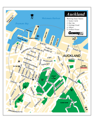
Auckland City Street Map
Street map of Auckland City
3210 miles away
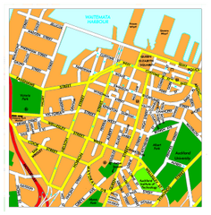
Auckland City Map
Regional map of Auckland city
3210 miles away
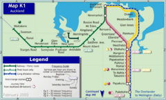
Auckland Rail Map
Rail map of Auckland's train system
3210 miles away
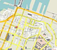
Auckland City Street Map
Street map of Auckland City Center
3210 miles away
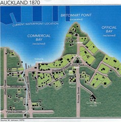
Auckland in 1870 Map
Downtown Auckland (New Zealand) as in 1870
3210 miles away
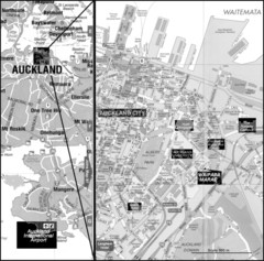
Auckland Tourist Map
The city of Auckland, New Zealand
3210 miles away
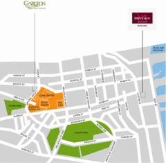
Central Auckland Map
3210 miles away
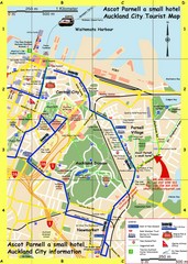
Parnell, Auckland Tourist Map
Tourist & Visitor Map showing tourist attractions, hotels, suggested walks and bus routes.
3210 miles away
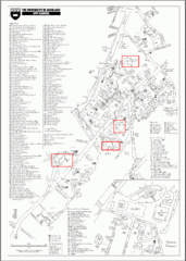
University of Auckland Campus Map
City campus map of University of Auckland, New Zealand
3210 miles away
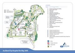
Auckland City Hospital Site Map 2005
3211 miles away
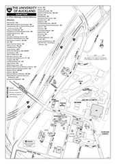
University of Auckland - Grafton Campus Map
Map of Grafton Campus of University of Auckland.
3211 miles away
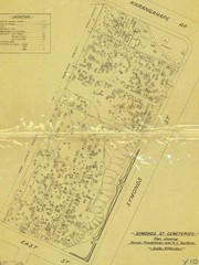
Symonds Street Cemetery - Jewish, Prebyterian and...
The Old Symonds Street Cemetery. This is the Jewish, Presbyterian and Catholic section.
3211 miles away
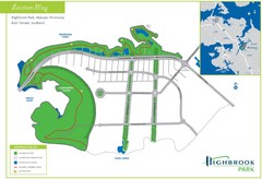
Highbrook Park Map
3212 miles away
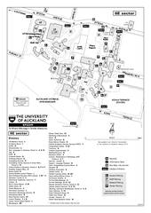
University of Auckland - Epsom Campus Map
Epsom campus includes teacher's college.
3212 miles away
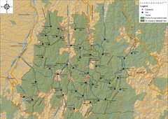
Northern Te Urewera National Park Map
Trail map of northern Te Urewera National Park. Shows trails, huts, and campsites.
3212 miles away
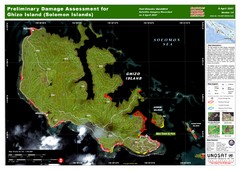
Ghizo Island Damage Map
Solomon Islands: Preliminary Damage Assessment for Ghizo Island (as of 8 Apr 2007)
3213 miles away
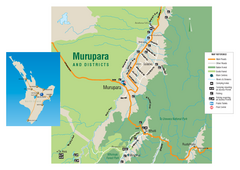
Murupara Map
Map of Murupara with detail of camping locations
3232 miles away
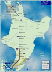
North Island Rail Map
Rail map of transit system throughout the North Island
3238 miles away
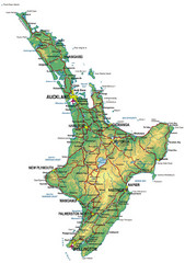
North Island Map
Map of North Island with cities detailed
3238 miles away
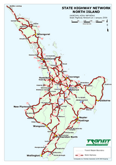
North Island State Highway Map
Map of state highway system throughout the North Island
3238 miles away
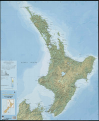
North Island New Zealand Map
3238 miles away
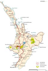
North Island Road Map
Road map of North Island, New Zealand. National Park Village highlighted.
3252 miles away
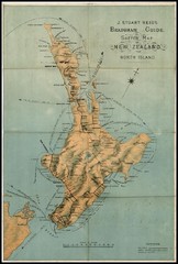
1880 New Zealand North Island Map
3255 miles away
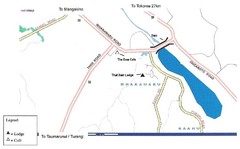
Whakamaru New Zealand Map
Map of Whakamaru, New Zealand showing a local hotel and restaurant.
3260 miles away

