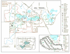
Hartman Creek State Park Map
195 miles away
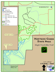
Hartman Creek State Park - Single Track Bike...
195 miles away
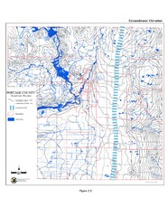
Groundwater Elevation of Portage County Map
Using the water table elevation map, generalized groundwater flow directions can be estimated.
196 miles away
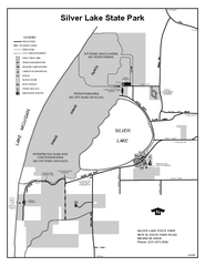
Silver Lake State Park, Michigan Site Map
197 miles away
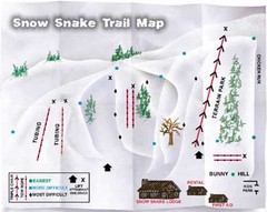
Snow Snake Mountain Ski Trail Map
Trail map from Snow Snake Mountain.
199 miles away
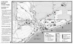
Cascade River State Park Map
Map of park with detail of trails and recreation zones
199 miles away
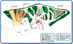
Nordic Mountain Ski Trail Map
Trail map from Nordic Mountain.
200 miles away
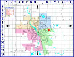
Medford City Map
City map of Medford, Wisconsin. Shows public buildings and districts.
201 miles away
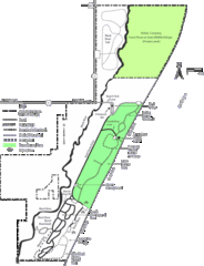
Kohler-Andrae State Park Map
trail, walk, water, nature, tourism, vacation, fun, adventure, journey,
204 miles away
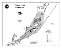
Tawas Point State Park, Michigan Site Map
205 miles away

Lutsen Mountains Ski Trail Map
Trail map from Lutsen Mountains, which provides downhill and terrain park skiing. It has 10 lifts...
207 miles away
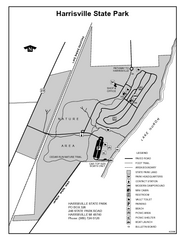
Harrisville State Park, Michigan Site Map
208 miles away
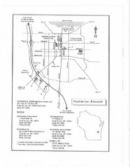
Fon Du Lac, Wisconsin Map
208 miles away
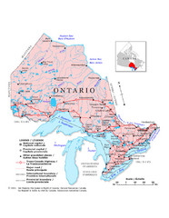
Ontario Map
Overview map of Ontario, Canada
210 miles away
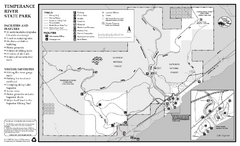
Temperance River State Park Map
map of park with detail of trails and recreation zones
211 miles away

Ontario Regional Trail Committee Boundaries Map
Sources: TCT, DMTI Spatial., MNR Projection: UTM, NAD83. Produced by the TCT in Montreal, October...
215 miles away
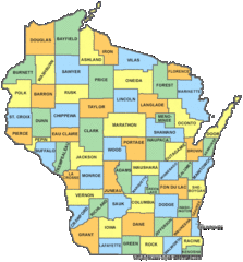
Wisconsin Counties Map
215 miles away
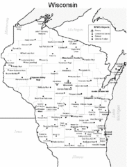
Wisconsin Airports Map
215 miles away
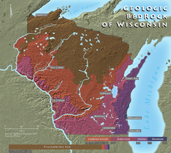
Wisconsin Geologic Bedrock Map
Relief map of geologic bedrock in Wisconsin with cities labeled
215 miles away
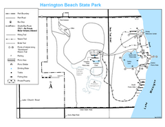
Harrington Beach State Park Map
Trails around Harington Beach State Park.
216 miles away

Gull Bay First Nation route map
A simple route map that tells you how to get to Gull Bay First Nation in Northren Ontario. For...
217 miles away
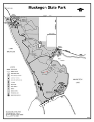
Muskegon State Park, Michigan Site Map
218 miles away
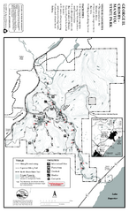
George Crosby Manitou State Park Map
Map of park with detail of trails and recreation zones
220 miles away
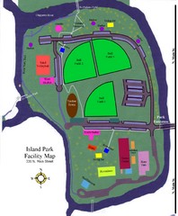
Island Park Facility Map
221 miles away
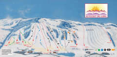
Sunburst Ski Area Ski Trail Map
Trail map from Sunburst Ski Area.
222 miles away
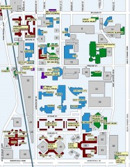
Central Michigan University Map
Central Michigan University Campus Map. All areas shown.
222 miles away
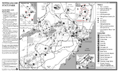
Tettegouche State Park Map
map of park with detail of trails and recreation zones
224 miles away
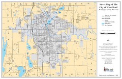
West Bend Street Map
Street map of city of West Bend, Wisconsin.
226 miles away
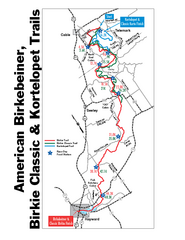
Birkebeiner Cross Country Ski Race Map
Guide to the Birkebeiner Cross Country Ski Race in Wisconsin
226 miles away
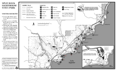
Split Rock Lighthouse State Park Summer Map
Summer seasonal map of park with detail of trails and recreation zones
229 miles away
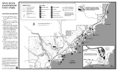
Split Rock Lighthouse State Park Winter Map
Winter seasonal map of park with detail of trails and recreation zones
229 miles away

Manitoulin Island Map
The largest Island on a lake
229 miles away
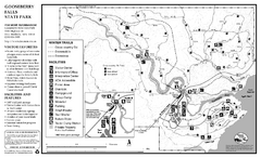
Gooseberry Falls State Park Winter Map
Winter season map of park with detail of trails and recreation zones
231 miles away
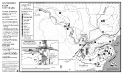
Gooseberry Falls State Park Map
Map of park with detail of trails and recreation zones
231 miles away
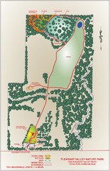
Pleasant Valley Nature Park Map
231 miles away
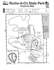
Roche A Cri State Park Map
Marked hiking trails for this State Park easily read on this map.
231 miles away
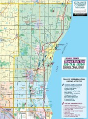
Ozaukee County Interurban Trail Map
Map of on and off trail key birding spots
233 miles away

Little Switzerland Back Ski Trail Map
Trail map from Little Switzerland.
233 miles away
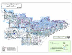
Superior National Park Map
Park Map in Minnesota. Does not include road or highway names
234 miles away
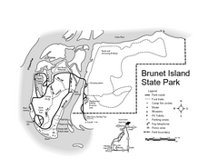
Brunet Island State Park Map
Easy to read legend.
235 miles away

