
 Edit this map

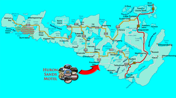
Manitoulin Island Map
near Manitoulin Island

 See more

Nearby Maps
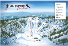
Mount Dufour Ski Trail Map
Trail map from Mount Dufour, which provides downhill skiing. This ski area has its own website.
55 miles away
Near Elliot Lake, Ontario, Canada
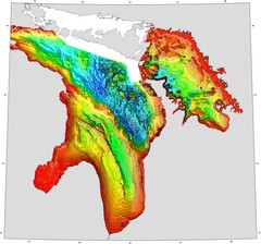
Lake Huron Depths Map
70 miles away
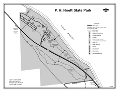
P.H. Hoeft State Park, Michigan Site Map
91 miles away
Near P.H. Hoeft State Park, MI
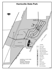
Harrisville State Park, Michigan Site Map
95 miles away
Near Harrisville State Park, Michigan
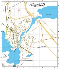
Parry Sound Town Map
100 miles away
Near Parry Sound, ON, CA

 See more


 Explore Maps
 Map Directory
 click for
 Fullsize

0 Comments
New comments have been temporarily disabled.