Bakersfield College Campus Map
Bakersfield College Campus Map. All buildings shown.
202 miles away
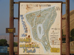
Hart Memorial Park Map
203 miles away
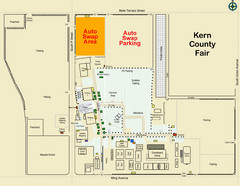
Bakersfield's Auto Swap Meet Map
204 miles away
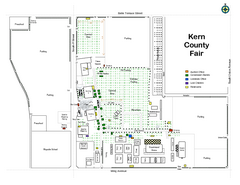
Kern County Fair Map
204 miles away

Lake Ming Area Map
Lake Ming is located 10 miles northeast of Bakersfield, off of Hwy. 178 along Alfred Harrell Hwy...
206 miles away

Lower Kern River Map
This portion of the Kern River extends from the Lower Richbar picnic area to Hart Park. Although...
206 miles away
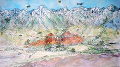
Lone Pine Map
Panorama tourist map of town of Lone Pine, California with surrounding area including the Alabama...
207 miles away
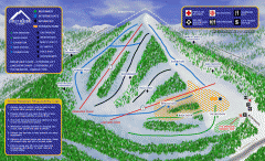
Alta Sierra at Shirley Meadows Ski Trail Map
Official ski trail map of Alta Sierra at Shirley Meadows ski area
208 miles away

Upper Kern River Area Map
This beautiful 35 mile stretch of the Upper Kern River from Lake Isabella to Quaking Aspen offers a...
209 miles away
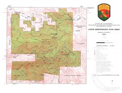
Latour State Forest Map
Countour map of the Latour Demonstration Forest.
209 miles away
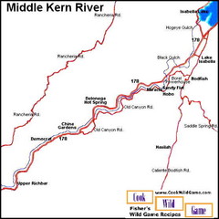
Middle Kern River Area Map
This majestic, rugged, canyon portion of the Kern River extends from Lake Isabella to the Upper...
211 miles away
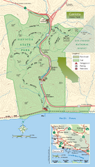
Gaviota State Park Zoom Map
Zoom map of park with detail of trails and recreation zones
214 miles away
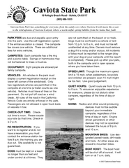
Gaviota State Park Campground Map
Map of campground region of park with detail of trails and recreation zones
214 miles away
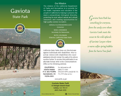
Gaviota State Park Map
Map of park with detail of trails and recreation zones
214 miles away

Lake Isabella Map and Statistics
216 miles away

Lake Isabella Camping and Fishing Map
216 miles away

Sequoia (South) National Forest Visitor Map: Lake...
216 miles away

Kern River Valley Area Map
216 miles away

Upper Kern River Area Recreation Opportunities Map
216 miles away
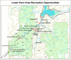
Lower Kern River (Kern Canyon) Area Recreation...
216 miles away

Lake Isabella Area Recreation Opportunities Map
216 miles away
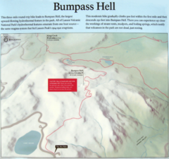
Bumpass Hell Trail Map
Trail map of route to Bumpass Hell, a major area of geo-thermal activity in Lassen National Park...
216 miles away
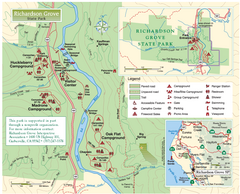
Richardson Grove State Park Map
Park map of Richardson Grove State Park, California. Shows trails, campgrounds, and other...
217 miles away
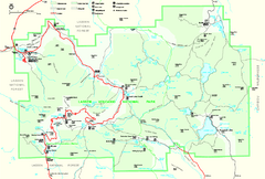
Lassen Volcanic National Park Official Park Map
Official NPS map of Lassen Volcanic National Park in California. Map shows all areas. Lassen...
217 miles away
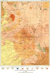
Lassen Peak District Geological Map
Geologic map of the Lassen Peak area in Lassen National Park, California. Shows sedimentary rock...
218 miles away
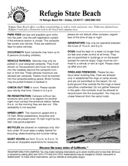
Refugio State Beach Campground Map
Map of campground region of beach with detail of trails and recreation zones
219 miles away
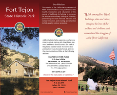
Fort Tejon State Historic Park Map
Map of park with detail of trails and recreation zones
219 miles away
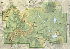
Lassen Volcanic National Park Map
220 miles away
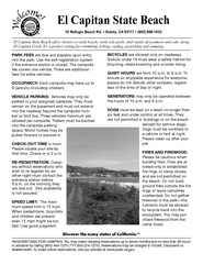
El Capitan State Beach Campground Map
Map of campground region park with detail of trails and recreation zones
220 miles away
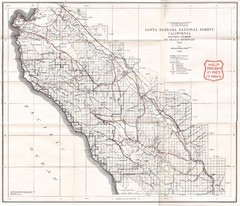
Santa Barbara National Forest 1924 Map
Los Padres National Forest Map. Prior to 1936 it was known as the Santa Barbara National Forest.
222 miles away
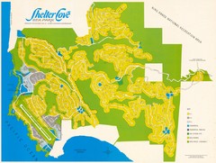
Shelter Cove Map
Shelter Cove Subdivision Map. Shows all streets, houses, commercial buildings, gas stations, and...
226 miles away
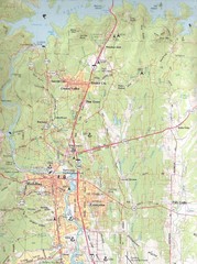
Redding, California City Map
226 miles away
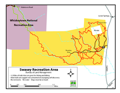
Swasey Recreation Area Map
12 Miles of trails that are great for hiking and biking. Most trails are rugged and unmarked...
226 miles away
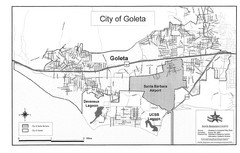
Goleta City Map
Street map of Goleta, California
227 miles away
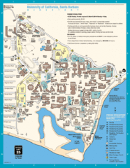
UC Santa Barbara Map
Campus map
228 miles away
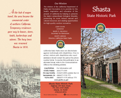
Shasta State Historic Park Map
Map of park with detail of trails and recreation zones
229 miles away
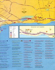
Santa Barbara Map
231 miles away

Santa Barbara, California City Map
231 miles away
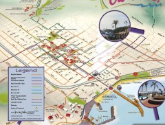
Santa Barbara Car Free Map
Shows bicycle and public transportation routes in downtown Santa Barbara, CA. Shows points of...
231 miles away

El Presidio de Santa Barbara State Park Map
231 miles away

