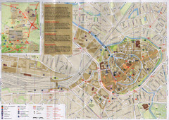
Amersfoort Map
530 miles away
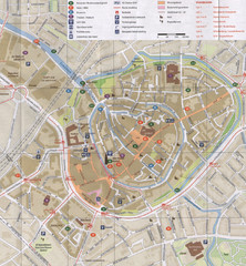
Amersfoort Map
530 miles away
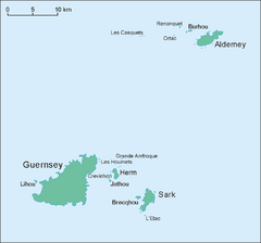
Guernsey Island Map
Guide to Guernsey, and island in teh English Channel
530 miles away
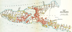
Alesund in 1911 Map
532 miles away
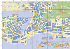
Alesund Town Map
Map of Alesund, Norway town center. Shows tourist points of interest. Inset shows location on...
533 miles away
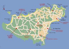
Guernsey Church Map
534 miles away
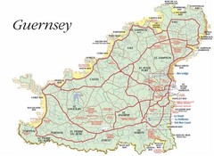
Guernsey road Map
534 miles away
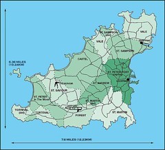
Guernsey Parish Map
535 miles away
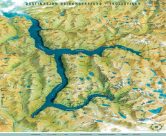
Geiranger Fjord Map
538 miles away
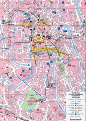
Ghent Walking Tour Map
Tourist and walking tour map of Ghent, Belgium. Shows points of interest.
541 miles away
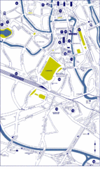
Ghent City Map
City map of Ghent with attractiosn
541 miles away
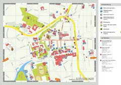
Aurich Tourist Map
Aurich tourist street map
543 miles away
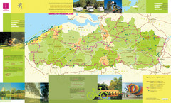
Flanders Camping and Cycling Map
Shows campgrounds and cycling routes in Flanders, Belgium
544 miles away
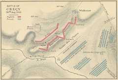
Battle of Crecy Map
Battlefield map of Crecy, France, August 28th 1346 during the Hundred Years War.
545 miles away
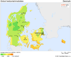
Solar Radiation Map of Denmark
Solar Radiation Map Based on high resolution Solar Radiation Database: SolarGIS. On the Solar Map...
545 miles away
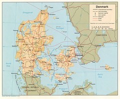
Denmark Map
Map of Denmark showing cities, roads, railways and borders.
545 miles away
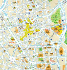
Lille Center Map
Street map of Lille city center
548 miles away
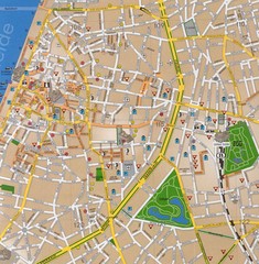
Antwerp Tourist Map
Tourist map of central Antwerp, Belgium. Scanned.
549 miles away
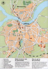
Aalborg City Map
City map with detail of main streets
553 miles away
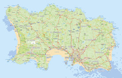
Jersey detailed road Map
554 miles away
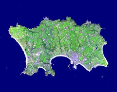
Jersey Physical Map
Guide to the Balliwick of Jersey, a British Crown Dependency
554 miles away
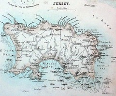
Jersey island Map
554 miles away
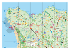
Jersey Tourist Map
Official tourist map of Isle of Jersey in the English Channel. Divided into 5 pages.
554 miles away
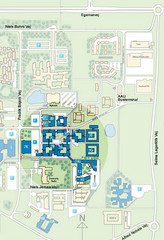
Aalborg University - Fredrik Bajers Vej Map
555 miles away
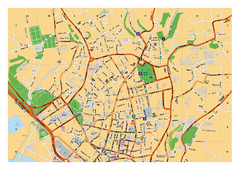
St. Helier Street Map
City street map of Saint Helier, Jersey, UK. With street index. Divided into 3 pages.
557 miles away
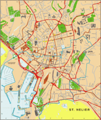
St. Helier Map
557 miles away
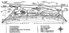
Omaha Beach Map
557 miles away

Normandy D-day Beaches Map
558 miles away

Port-en-Bessin Huppain Map
560 miles away
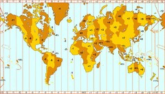
Welt Zeitzonen Map
562 miles away

Bayeux Map
565 miles away
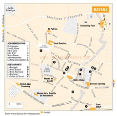
Bayeux Tourist Map
Tourist map of Bayeux, France shows accommodations and restauraunts
565 miles away
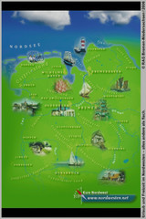
Northwest Germany Tourist Map
Tourist map of northwest region of Germany. Shows photos of major towns and regional icons.
566 miles away
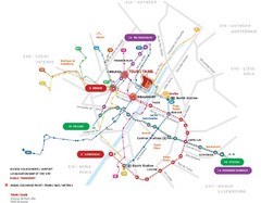
Brussels Transit Map
568 miles away
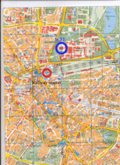
Eindhoven City Map
City map of center of Eindhoven, The Netherlands
568 miles away
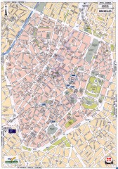
Brussels Street Map
Street map of the center of Brussels, Belgium (Brussel, Bruxelles). Major buildings labeled.
568 miles away
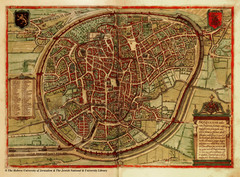
Medieval Brussels Map
569 miles away
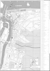
Trouville sur Mer Map
570 miles away

