
 Edit this map

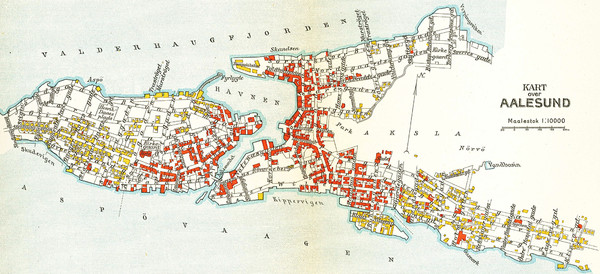
Alesund in 1911 Map

 See more

Nearby Maps
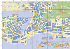
Alesund Town Map
Map of Alesund, Norway town center. Shows tourist points of interest. Inset shows location on...
less than 1 mile away
Near Alesund, Norway
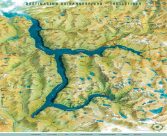
Geiranger Fjord Map
22 miles away
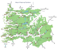
Sogn og Fjordane Region Map
Map of the Sognefjorden, Norway region
63 miles away
Near Sogn og Fjordane, Norway
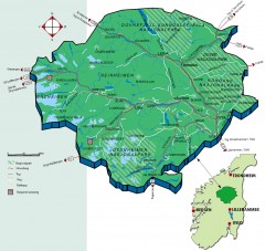
Nasjonalparkriket National Park Region Map
The national parks region "Nasjonalparkriket" is centrally located between the cities of...
97 miles away
Near Storrvik, Norway

 See more


 Explore Maps
 Map Directory
 click for
 Fullsize

0 Comments
New comments have been temporarily disabled.