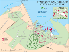
Kentucky Dam Village State Resort Park Map
Map of golf course and facilities for Kentucky Dam Village State Resort Park, one of three state...
319 miles away
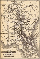
1913 Georgia Southern & Florida Railway Map
320 miles away
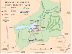
Pennyrile State Resort Park map
Recreation map for Pennyrile Forest State Park in Kentucky
320 miles away
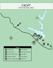
Croft State Park Map
Simple state park map.
320 miles away
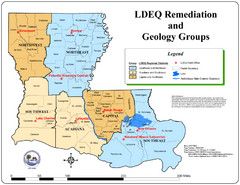
Louisiana Map
District and geological map of Louisiana
320 miles away
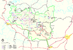
Mammoth Cave National Park Official Park Map
Official NPS map of Mammoth Cave National Park in Kentucky. Most of the park's resources and...
320 miles away
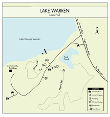
Lake Warren State Park Map
Clearly marked state park map.
321 miles away
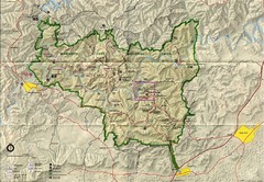
Mammoth Cave National Park Map
Visitor Center Area Map and Park Map. Topographical map that shows parameters of the park as well...
321 miles away
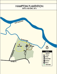
Hampton Plantation State Park Map
Clear and easy to read map.
321 miles away
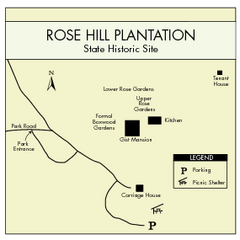
Rose Hill Plantation Map
Clear and simple state park map.
321 miles away
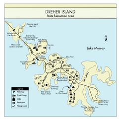
Dreher Island State Park Map
Clearly labeled state park map.
322 miles away
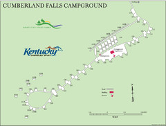
Cumberland Falls Map
322 miles away
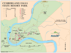
Cumberland Falls State Resort Park map
Detailed recreation map for Cumberland Falls State Resort Park in Kentucky
324 miles away
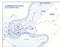
Cumberland Falls State Resort Park Map
Cumberland Falls Park Area Map
324 miles away
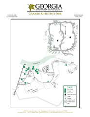
Crooked River State Park Map
Map of park with detail of trails and recreation zones
325 miles away

Fort McAllister Historic Park Map
Map of park with detail of trails and recreation zones
325 miles away
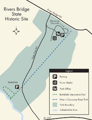
Rivers Bridge State Park Map
Nice and clear map of this history state park.
326 miles away
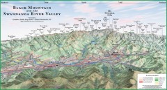
Black Mountain Panorama map
Panoramic map of the Black Mountain, NC and Swannanoa River Valley. Shows all mountains with...
326 miles away
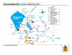
Dancing Rabbit Trail - Crowley's Ridge State...
Trail Map for Dancing Rabbit Trail in Crowley's Ridge State Park showing Walcott Lake, hiking...
327 miles away
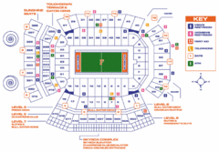
Ben Hill Griffin Stadium Map
Clear map and legend of this stadium.
327 miles away

University of Florida Map
327 miles away

Central Kentucky Trail Map
327 miles away
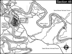
Burnside, KY-Cumberland River Map
Burnside, Kentucky is located at the fork of the Cumberland River and the South Fork. This is...
328 miles away
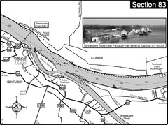
Ohio River & Tennessee River at Paducah, KY...
This is a page from the Ohio River Guidebook. The map shows important information for boaters and...
328 miles away
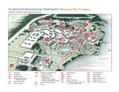
Florida International University at Biscayne...
328 miles away
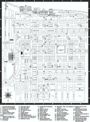
Savannah Historic District map
Map of Savannah, Georgia's historic district. Shows popular places
328 miles away
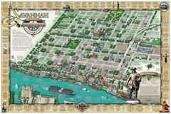
Savannah Historic District Illustrated Map
This Americana-style illustrated map depicts the Savannah Historic District from a birds-eye-view...
329 miles away
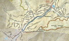
Montreat trail map
Detailed guide to the trail system surrounding the village of Montreat, NC.
329 miles away
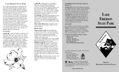
Lake Frierson State Park Map
Map of Lake Frierson State Park showing trails, boating and fishing areas and amenities.
330 miles away
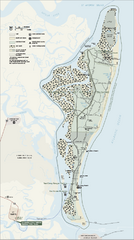
Cumberland Island National Seashore Map
Official NPS map of Cumberland Island National Seashore, Cumberland Island, Georgia. Rated #4...
330 miles away
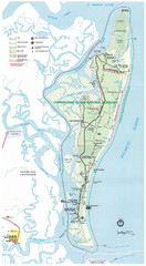
Cumberland Island Map
Map of Cumberland Island, including hiking trails and campgrounds
330 miles away
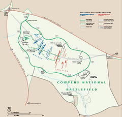
Cowpens National Battlefield Official Map
Official NPS map of Cowpens National Battlefield in South Carolina. Open 9:00 a.m. - 5:00 p.m...
331 miles away

South Carolina Counties Map
331 miles away
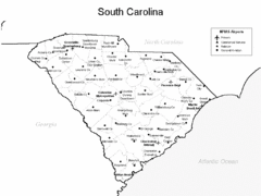
South Carolina Airports Map
331 miles away
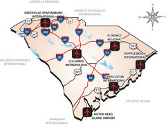
South Carolinas Airports Map
331 miles away
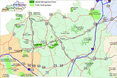
Green River Area Hunting Map
Map marking highways, forests, parks and hunting zones in Kentucky's beautiful Green River...
331 miles away
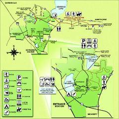
Paynes Prairie State Preserve Map
Map of preserve with detail of trails and recreation zones
331 miles away
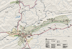
Cumberland Gap National Historical Park Official...
Official NPS map of Cumberland Gap National Historical Park in Virginia-Tennessee-Kentucky. Map...
332 miles away
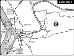
Smithland, KY Cumberland & Ohio Rivers Map
This is the mouth (end) of the Cumberland River as it pours into the Ohio River after flowing 695...
332 miles away

