Mt. Pisgah State Park map
Detailed recreation map for Mt Pisgah State Park in Pennsylvania
189 miles away
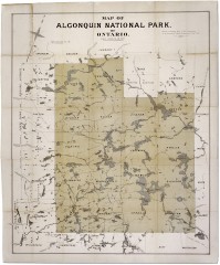
Algonquin National Park Map 1893
Map of Algonquin National Park of Ontario. "Prepared to accompany Report of Park...
191 miles away

Yellow Creek State Park map
Recreation map for Yellow Creek State Park in Pennsylvania
191 miles away

Prince Gallitzin State Park Map
Detailed Recreation map of Prince Gallitzin State Park in Pennsylvania
191 miles away
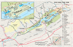
Bald Eagle State Park map
Detailed trail map of Bald Eagle State Park in Pennsylvania.
192 miles away

Cedar Point Amusement park Map
192 miles away
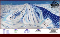
Mt. Holly Ski Area Ski Trail Map
Trail map from Mt. Holly Ski Area.
192 miles away
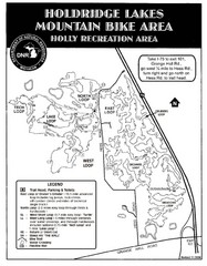
Holdridge Lakes Mountain Bike Map
Part of the Holly Recreation Area, the trail system consists of three loops: 1) A .75 mile loop...
192 miles away
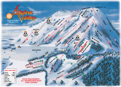
Alpine Valley Ski Trail Map
Trail map from Alpine Valley.
192 miles away
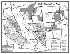
Holly State Recreation Area, Michigan Site Map
192 miles away
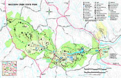
Raccoon Creek State Park Map
Detailed recreation map for Raccoon Creek State Park in Pennsylvania
193 miles away
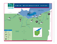
Lake Erie Restoration Sites Map
Shows restoration sites for Lake Erie in Ohio
193 miles away

Greek Peak Ski Resort Ski Trail Map
Trail map from Greek Peak Ski Resort.
194 miles away
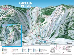
Greek Peak Ski Trail Map
Official ski trail map of Greek Peak ski area from the 2006-2007 season.
194 miles away
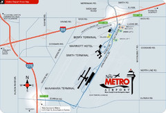
Detroit Metro Airport Area Map
194 miles away
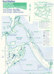
East Harbor State Park Map
194 miles away

1978 Bradford County, Pennsylvania Map
194 miles away

Birdseye Map of Sandusky, Ohio (1898)
Alvord-Peters birdseye map of Sandusky in 1898.
194 miles away
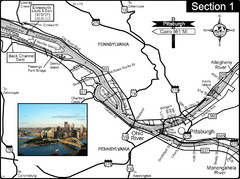
Ohio River at Pittsburgh, PA at the confluence of...
This is a page from the Ohio River Guidebook. The Ohio River begins at this confluence. This map...
195 miles away
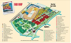
New York State Fairgrounds Map
195 miles away
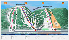
Labrador Mountain Ski Trail Map
Trail map from Labrador Mountain.
195 miles away
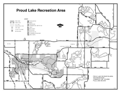
Proud Lake Recreation Area, Michigan Site Map
195 miles away
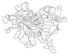
Pittsburgh neighborhoods Map
195 miles away
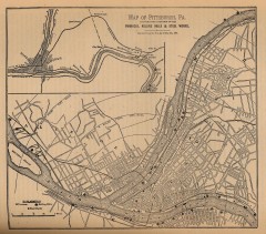
Antique map of Pittsburgh from 1879
"Map of Pittsburgh, Pa. Showing the Location of its Furnaces, Rolling Mills and Steel Works...
196 miles away
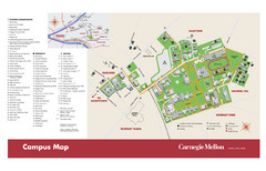
Carnegie Mellon Campus Map
Campus map of Carnegie Mellon University (CMU) in Pittsburgh, PA.
196 miles away
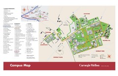
Carnegie Mellon Campus Map
Map of the Carnegie Mellon Campus. Includes all buildings, streets and the location of the campus...
196 miles away
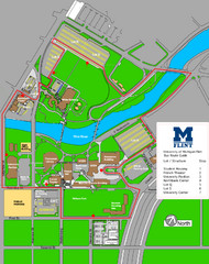
University of Michigal-Flint Bus Route Map
196 miles away
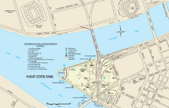
Point State Park Map
Recreation map for Point State Park in Pennsylvania
196 miles away
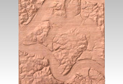
Pittsburgh map carved by CarvedMaps.com
Wood Map of the three rivers area of Pittsburgh, PA. CarvedMaps.com can carve any area within...
196 miles away
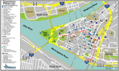
Pittsburgh Tourist Map
196 miles away
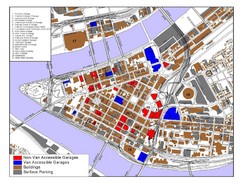
Pittsburgh Tourist Map
196 miles away
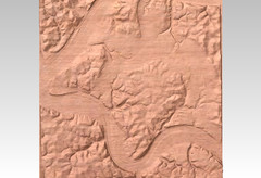
Pittsburgh, PA carved by carvedmaps.com Map
We can carve any location within the United States. Do you have a mountain cabin? We can carve...
196 miles away
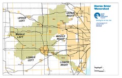
Huron River Watershed Map
Creek and watershed map of Huron River
196 miles away
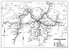
Pittsburgh, Pennsylvania City Map
196 miles away
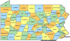
Pennsylvania Counties Map
196 miles away
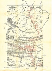
Lehigh Valley Railroad Historical Map
Built in 1846, this railroad was built primarily to haul coal. It was also known as the Route of...
196 miles away
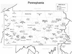
Pennsylvania Airports Map
196 miles away
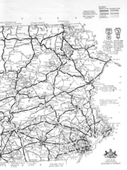
Eastern Pennsylvania Road Map
196 miles away
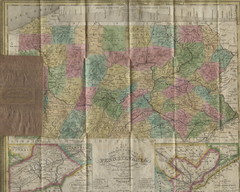
Pennsylvania Tourist Pocket Map
The map is dated 1820-31 by counties shown and comes from Anthony Finley's A New General Atlas...
196 miles away

