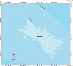
Maro Reef Tourist Map
957 miles away
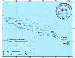
Papahanaumokuakea Marine National Monument Map
1032 miles away
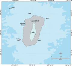
Laysan Island Map
1033 miles away
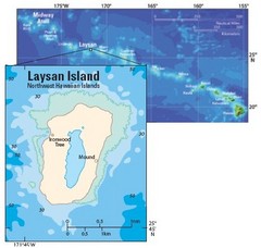
Northwest Hawaiian Island Tourist Map
1033 miles away
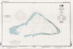
Kingman reef Map
1064 miles away
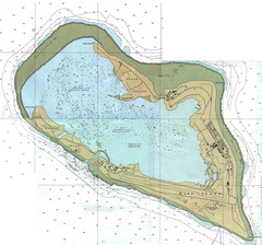
Wake Island Map
Nautical chart of Wake Island
1064 miles away
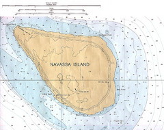
Navassa Island Map
1065 miles away
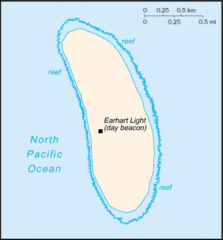
Howland Island Tourist Map
1068 miles away
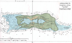
Palmyra atoll Map
1092 miles away
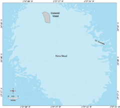
Lisianski Island Tourist Map
1172 miles away
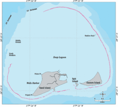
Midway Atoll Islands Tourist Map
1254 miles away
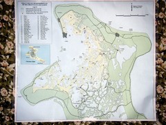
Christmas Island Bonefish Flats Map
1302 miles away
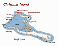
Christmas (Kiribati) island Map
1303 miles away
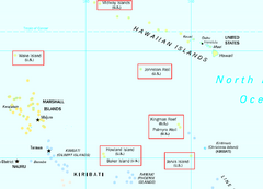
US Minor Outlying Islands Map
Shows all islands included in the United States Minor Outlying Islands designation.
1381 miles away
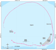
Kure Atoll Island Map
1475 miles away

US outlying minor properties Map
1501 miles away
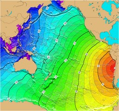
Tsunami Time Travel to Chile Map
The amount of time it will take for a tsunami in Chile to head West toward Australia. Based on the...
1537 miles away
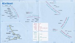
Kiribati Overview Map
Overview map of Pacific country of Kiribati. Kiribati is a Micronesian country made up of 33 low...
1797 miles away
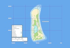
Enderbury atoll Map
1924 miles away
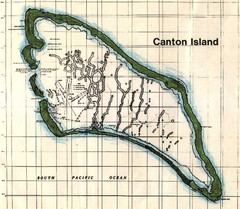
Canton Island Map
1926 miles away
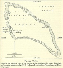
Kanton atoll Map
1926 miles away
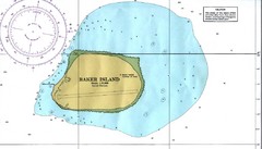
Baker Island Nautical Map
Nautical map of US unincorporated territory of Baker Island.
1960 miles away
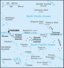
Kiribati Islands Map
1984 miles away

Age of undersea fracture zones Map
2072 miles away
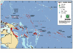
East Asian Pacific Ocean Map
Map of the Pacific Ocean surrounding East Asian Islands from the Solomon Islands to USA Hawaii.
2144 miles away
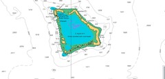
Atafu atoll Map
2298 miles away
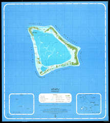
Atafu Map
2298 miles away
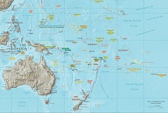
Oceania Map
Map of Oceania. Shows all island groups in the Pacific Ocean
2303 miles away
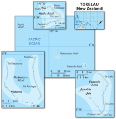
Tokelau islands Map
2303 miles away
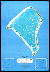
Fakaofo Map
2310 miles away
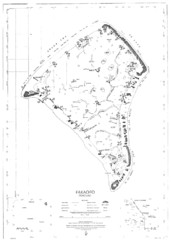
Fakaofo atoll Map
2310 miles away
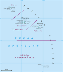
Tokelau Islands Map
Guide to the islands of Tokelau, a territory of New Zealand comprised of three coral atolls, also...
2310 miles away
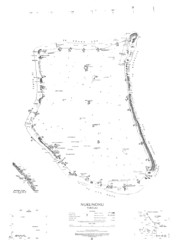
Nukunono atoll Map
2314 miles away
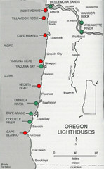
Lighthouses of the Oregon Coast Map
lighthouses (active, inactive, and destroyed) on the coast of Oregon (and the Columbia River)
2314 miles away
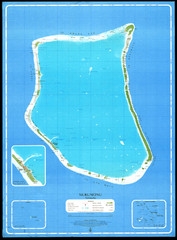
Nukunonu Atoll Map
2315 miles away
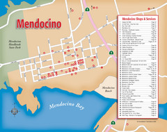
Mendocino Tourist Map
Tourist map of town of Mendocino, California. Shows shops and services.
2321 miles away
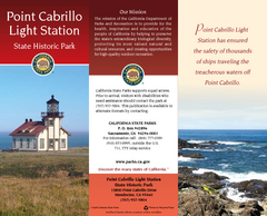
Point Cabrillo Light Station State Historic Park...
Map of park with detail of trails and recreation zones
2321 miles away

Van Damme State Park Map
Park map of Van Damme State Park near Mendocino, California. Show Fern Valley Trail through...
2322 miles away
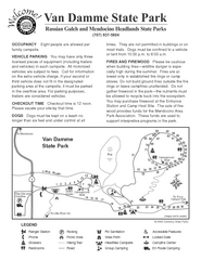
Van Damme State Park Campground Map
Map of campground region of park with detail of trails and recreation zones
2323 miles away
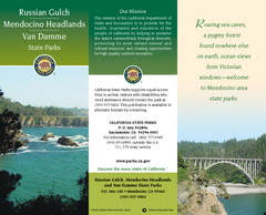
Mendocino Headlands State Parks Map
Map of parks with detail of trails and recreation zones
2323 miles away

