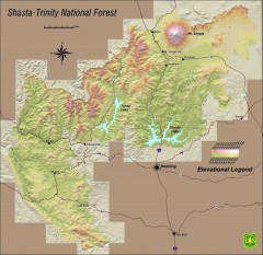
Shasta Trinity National Forest Elevation Map
Shaded relief map of Shasta-Trinity National Forest in northern California
2430 miles away
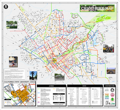
Chico Bike Map
Bicycle route map of Chico, California
2430 miles away

Chico, California City Map
2431 miles away
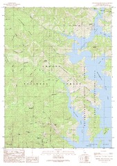
Bohemotash Mountain Quad - Shasta Lake Map
Topographic map, Bohemotash Mountain Quadrangle, California 1990. Area of map includes a portion of...
2431 miles away
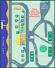
Tsasdi Resort - Shasta Lake Map
Map of the grounds of Tsasdi Resort, lakehead, CA.
2433 miles away
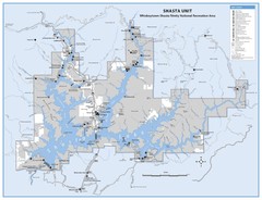
Shasta Unit - Whiskeytown-Shasta-Trinity National...
Map of Shasta Lake, California, showing roads, campgrounds, marinas and resorts, hiking and biking...
2434 miles away
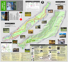
Upper and Lower Bidwell Park Bike Map
Bike map of Upper Bidwell Park and Lower Bidwell Park in Chico, California
2434 miles away
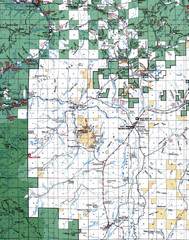
Clip07 Map
Visitor Maps of Klamath, central-western part of the park. Includes all roads, camp grounds...
2434 miles away
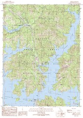
O'Brien Quad - Shasta Lake Map
Topographic map, O'Brien Quadrangle, California 1990. Area of map includes a portion of Shasta...
2435 miles away
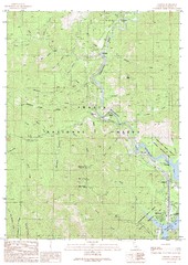
Lamoine Quad - Shasta Lake Map
Topographic map, Lamoine Quadrangle, California 1990. Area of map includes a portion of Shasta Lake...
2435 miles away
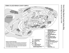
Sierra College Campus Map
Sierra College Campus Map. All buildings shown.
2436 miles away
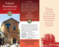
Folsom Powerhouse State Historic Park Map
Map of park with detail of trails and recreation zones
2437 miles away
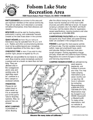
Folsom Lake State Recreation Area Campground Map
Map of park with detail of trails and recreation zones
2437 miles away
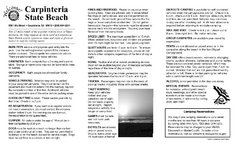
Carpinteria State Beach Campground Map
Map of park with detail of trails and recreation zones
2438 miles away

Rockville Hills Regional Park Map
Trail Map, Two small lakes, picnic areas
2438 miles away
Carpinteria State Beach Map
Map of beach with detail of trails and recreation zones
2438 miles away
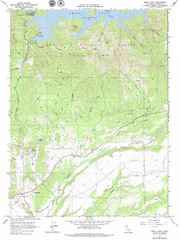
Bella Vista Quad - Shasta Lake Map
Topographic map, Bella Vista Quadrangle, California 1976. Area of map includes a portion of Shasta...
2438 miles away
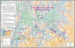
Oregon Rogue Valley wineries Map
Southern Oregon's Rogue Valley wineries
2438 miles away
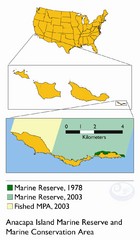
Anacapa Island Marine Reserve Map
2438 miles away
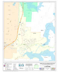
Lakeside Oregon Road Map
2438 miles away
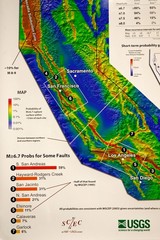
California Faults and Earthquake Probablity...
The Uniform California Earthquake Rupture Forecast map hangs at a press conference where...
2440 miles away

Mi-Wok OHV Trail Map
Trail Maps for Off Road Bikes in Stanislaus National Forest
2440 miles away
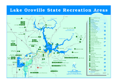
Lake Oroville State Recreation Area Map
Recreation overview map of Lake Oroville State Recreation Area near Oroville, California. Show all...
2441 miles away
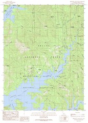
Minnesota Mountain Quad - Shasta Lake Map
Topographic map, Minnesota Mountain Quadrangle, California 1990. Area of map includes a portion of...
2441 miles away

Turlock Lake State Recreation Area Campground Map
Map of campground region of recreation area with detail of trails and recreation zones
2441 miles away
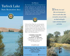
Turlock Lake State Recreation Area Map
Map of recreation area with detail of trails and recreation zones
2441 miles away
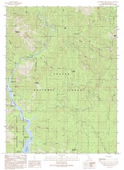
Bollibokka Mountain Quad - Shasta Lake Map
Topographic map, Bollibokka Mountain Quadrangle, California 1990. Area of map includes a portion of...
2442 miles away
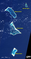
Kiribati Islands Map
Kiribati satellite image of Kiribati Islands of Tarawa Island, Abaiang Island, Marakei Island, and...
2445 miles away
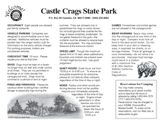
Castle Crags State Park Map
Map of park with detail of trails and recreation zones
2445 miles away
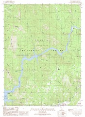
Devils Rock Quad - Shasta Lake Map
Topographic map, Devils Rock Quadrangle, California 1990. Area of map includes a portion of Shasta...
2446 miles away
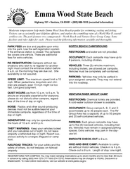
Emma Wood State Beach Campground Map
Map of campground region of park with detail of trails and recreation zones
2447 miles away
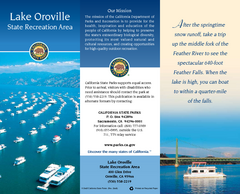
Lake Oroville State Recreation Area Map
Map of recreation area with detail of trails and recreation zones
2447 miles away

SCAT Shuttle Map: Ventura Harbor to Downtown...
Shuttle bus route map of SCAT Shuttle between Ventura Harbor and downtown Ventura, California...
2448 miles away
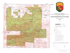
Latour State Forest Map
Countour map of the Latour Demonstration Forest.
2448 miles away
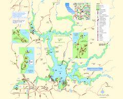
Lake Oroville State Recreation Area Map
Map of recreation area with detail of trails and recreation zones
2448 miles away

San Buenaventura Map
2448 miles away
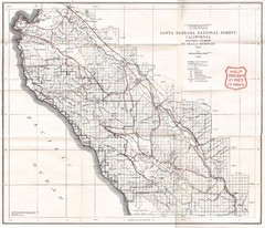
Santa Barbara National Forest 1924 Map
Los Padres National Forest Map. Prior to 1936 it was known as the Santa Barbara National Forest.
2449 miles away
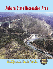
Auburn State Recreation Area Map
Map of park with detail of of trails and recreation zones
2449 miles away
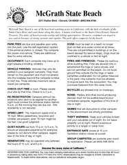
McGrath State Beach Campground Map
Map of beach and park with detail of trails and recreation zones
2450 miles away
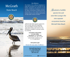
McGrath State Beach Map
Map of beach and park with detail of trails and recreation zones
2450 miles away

