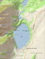
Jenny Lake Hiking Map
Shows hiking trails around Jenny Lake in Grand Teton National Park.
168 miles away
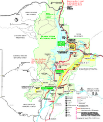
Grand Teton National Park Map - Winter
Official NPS winter map of Grand Teton National Park, Wyoming. The winter park map details winter...
169 miles away
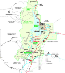
Grand Teton National Park Map - Summer
Official NPS summer map of Grand Teton National Park, Wyoming. The summer map includes all...
169 miles away
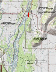
Wilson Bridge Fishing map
Shows access points to the Snake River from the Wilson Bridge area. From jackdennis.com: "...
169 miles away
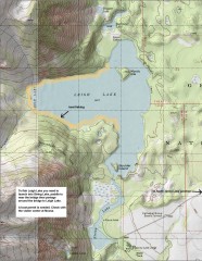
Leigh Lake Fishing Map
Fishing map of Leigh Lake in Teton National Park. From jackdennis.com: "Leigh Lake is a...
169 miles away
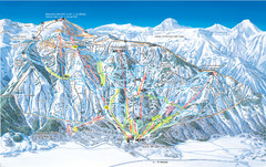
Jackson Hole Mountain Resort Ski Trail Map
Trail map from Jackson Hole Mountain Resort, which provides terrain park skiing. It has 12 lifts...
170 miles away
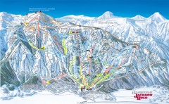
Jackson Hole Ski Trail Map
Official ski trail map of Jackson Hole ski area from the 2006-2007 season. Main Tram has been...
171 miles away
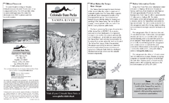
Yampa River State Park Map
Map of park with detail of recreation zones
171 miles away
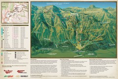
Jackson Hole Summer Mountain Biking/Hiking map
Jackson Hole summer mountain biking/hiking map. Covers 2500 acres (4 square miles).
171 miles away
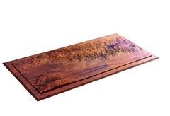
Grand Tetons by Carvedmaps.com Map
Grand Tetons including Teton Villiage and Jenny Lake by carvedmaps.com
171 miles away
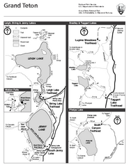
Grand Teton National Park Lakeshore Hiking Map
Shows scenic hikes around lakes such as Phelps, Jenny, Leigh and Taggart in Grand Teton National...
171 miles away
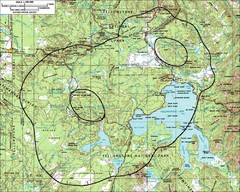
Yellowstone Lake Topographic Map
Topographic guide to Yellowstone Lake in Yellowstone National Park
173 miles away
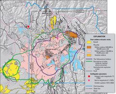
Yellowstone Geologic Map
Guide to geology, volcanic and earthquake activity and caldera outlines in Yellowstone National Park
174 miles away
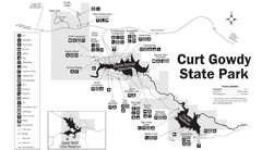
Curt Gowdy State Park Map
Curt Gowdy is a recreation area with three reservoirs. It's great for fishing, camping, water...
174 miles away
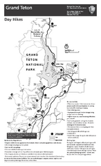
Grand Teton National Park Day Hikes Map
Shows suggested hikes and safety recommendations for day hikes in Grand Teton National Park, WY...
174 miles away
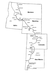
Continental Divide Trail Graphic Map
Guide to the Continental Divide Trail, with major cities and stopping points
174 miles away
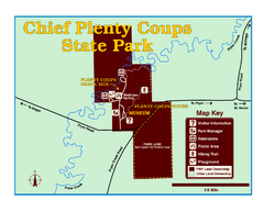
Chief Plenty Coups State Park Map
Simple and clear map of State Park.
175 miles away

Little Big Horn Battlefield National Monument Map
Official NPS map of the Little Big Horn Battlefield National Monument. This area memorializes...
175 miles away
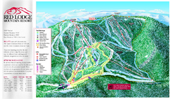
Red Lodge Mountain Ski Trail Map
Trail map from Red Lodge Mountain.
175 miles away
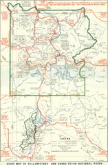
1929 Yellowstone and Grand Teton National Parks...
Map of older smaller boundaries of both national parks
176 miles away
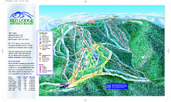
Red Lodge Mountain Ski Trail Map
Official ski trail map of Red Lodge Mountain ski area from the 2007-2008 season.
176 miles away
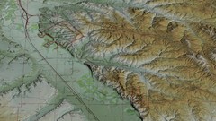
Custer Battlefield Oblique Map
177 miles away
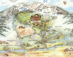
Steamboat Springs Map
A fun map marking points of interest and more.
178 miles away
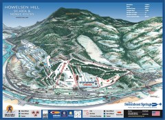
Howelsen Hill Ski Trail Map
Official map of Howelsen Hill ski area in Steamboat, CO. Map shows both downhill and nordic trails...
178 miles away
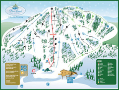
Pine Creek Ski Area Ski Trail Map
Trail map from Pine Creek Ski Area.
178 miles away
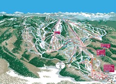
Steamboat Trail Map
Ski trail map
178 miles away
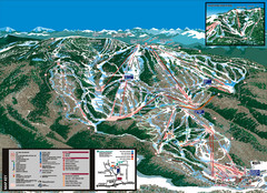
Steamboat Trail Map
178 miles away
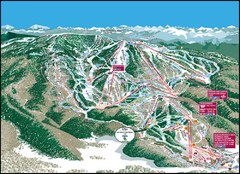
Steamboat Springs Mountain Map
178 miles away
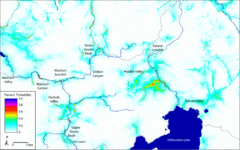
Bison Travel in Yellowstone National Park Map
General bison travel in Yellowstone National Forest, Wyoming
179 miles away
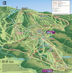
Steamboat Springs Bike Trail Map
Bike trail for Steamboat Springs mountain bike trail.
179 miles away

Grand Targhee Ski Trail Map
Official ski trail map of Grand Targhee ski area from the 2007-2008 season.
179 miles away
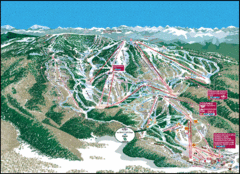
Steamboat Springs Trail Map
Guide to trails in Steamboat Springs Ski Resort, Colorado
180 miles away
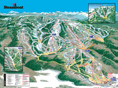
Steamboat Ski Resort Ski Trail Map
Trail map from Steamboat Ski Resort, which provides downhill and terrain park skiing. It has 18...
181 miles away
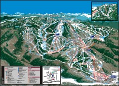
Steamboat Ski Area Ski trail map
Official ski trail map of Steamboat ski area in Steamboat Springs, CO from the 2006-2007 season...
181 miles away
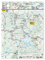
Yellowstone National Park official map
Official NPS map of Yellowstone National Park. Detail map of park with shaded relief. Established...
184 miles away
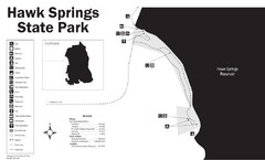
Hawk Springs State Park Map
Hawk Springs Recreation Area has activities for everyone to enjoy: boating, waterskiing, fishing...
184 miles away
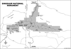
Dinosaur National Monument Map
184 miles away
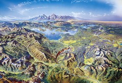
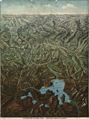
Yellowstone oblique Map
Oblique Panorama map of Yellowstone National Park
184 miles away
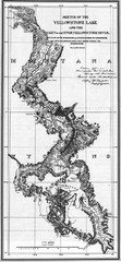
1871 Yellowstone River and Lake Map
Historic guide to the Yellowstone River and Lake in Yellostone National Park
185 miles away
Fee’s map of Yellowstone National Park...
Charles S. Fee's map of Yellowstone in 1895.
188 miles away

