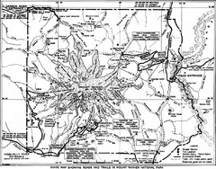
1928 Mount Rainier National Park Map
Guide to Mount Rainier National Park in 1938
625 miles away
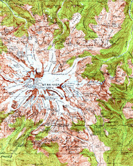
Mount Rainier Topographic Map
Guide to topography and glaciers of Mount Rainier
625 miles away
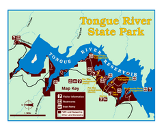
Tongue River Reservoir State Park Map
The 12-mile long reservoir is situated among scenic red shale, juniper canyons, and the open...
625 miles away
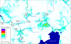
Bison Travel in Yellowstone National Park Map
General bison travel in Yellowstone National Forest, Wyoming
625 miles away
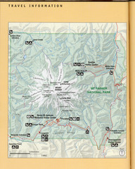
Mount Rainier National Park Map
Guide to the Mount Rainier National Park
626 miles away
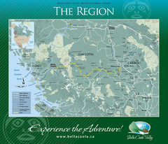
Bella Coola Valley Region Map
Shows large region around Bella Coola, British Columbia, from the northern tip of Vancouver Island...
626 miles away
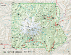
Mount Rainier National Park map
Official NPS map of Mt. Rainier National Park. Shows the entire park and surroundings
627 miles away
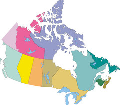
Canada Province Map
627 miles away
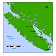
Vancouver Island Overview Map
Town of Parksville highlighted.
628 miles away
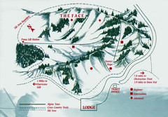
Hurricane Ridge Ski Trail Map
Trail map from Hurricane Ridge.
628 miles away
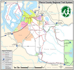
Pierce County Regional Trail Map
County-wide system of trails
628 miles away

Mt. Rainier 3D Print Map
This is a 3D-printed map of the cone of Mt. Rainier in Washington, USA, including Liberty Cap, many...
628 miles away
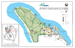
Point Defiance Park Map
628 miles away
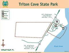
Triton Cove State Park Map
Map of park with detail of trails and recreation zones
628 miles away
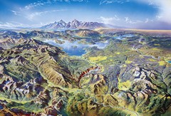
Yellowstone oblique Map
Oblique Panorama map of Yellowstone National Park
628 miles away
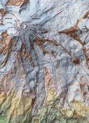
Mt. Rainier Climbing Routes Map
Shows major climbing routes on Mt. Rainier on southwest part of mountain.
628 miles away
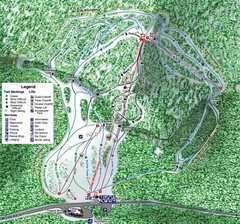
White Pass Ski Area Ski Trail Map
Trail map from White Pass Ski Area, which provides downhill, nordic, and terrain park skiing. It...
628 miles away
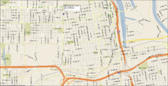
Tacoma, Washington City Map
629 miles away
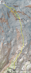
Mount Rainier Climbing Map
Guide to climbing Mount Rainier, Camp Muir Route
629 miles away
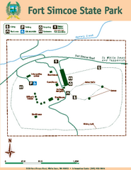
Fort Simcoe State Park Map
Map of park with detail of trails and recreation zones
629 miles away
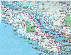
Vancouver Island Road Map
630 miles away
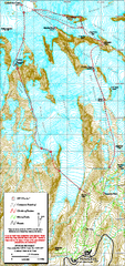
Mount Rainier Paradise Climbing Route map
Map shows all hiking and climbing routes originating from Paradise at 5,400 ft.
630 miles away
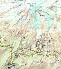
Pinnacle Saddle Trail Map
631 miles away

Hamlet of Fort Liard Area Map
Fort Liard Visitor Information Map including location of most buildings, businesses, streets, and...
631 miles away
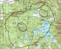
Yellowstone Lake Topographic Map
Topographic guide to Yellowstone Lake in Yellowstone National Park
631 miles away
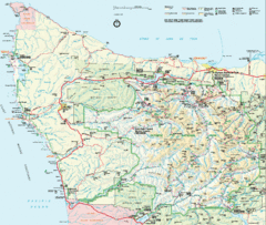
Olympic National Park Map
632 miles away
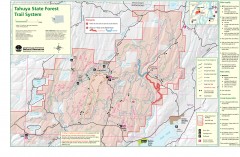
Tahuya State Forest Trail Map
Shows trails of Tahuya State Forest. Show roads, doubletrack, singletrack, and 4WD only.
632 miles away
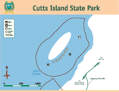
Cutts Island Stay Park Map
Map of park with detail of trails and recreation zones
633 miles away
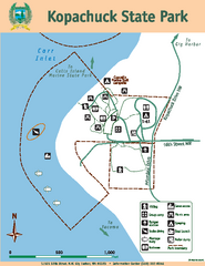
Kopachuck State Park Map
Map of island with detail of trails and recreation zones
633 miles away
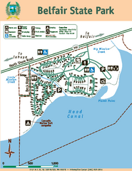
Belfair State Park Map
Map of park, with detail of trails and recreation zones
633 miles away
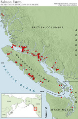
BC Salmon Farms Map
Shows fishfarms in BC around Vancouver Island, highest concentration of fish farms in North Pacific
634 miles away
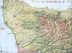
Olympic National Park Map
634 miles away
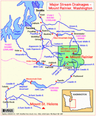
Mount Rainier Major Stream Drainages Map
635 miles away
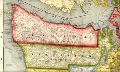
Clallam and Jefferson Counties Washington, 1909...
635 miles away
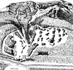
Sleeping Giant Ski Area Ski Trail Map
Trail map from Sleeping Giant Ski Area.
636 miles away
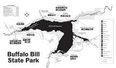
Buffalo Bill State Park Map
636 miles away
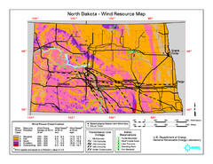
North Dakota Wind Resource Map
636 miles away
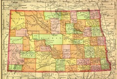
North Dakota Map
636 miles away
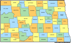
North Dakota Counties Map
636 miles away

