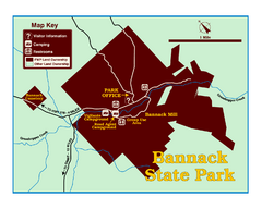
Bannack State Park Map
578 miles away
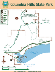
Columbia Hills State Park Map
Map of park with detail of trails and recreation zones
578 miles away
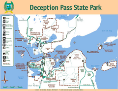
Deception Pass State Park Map
Map of park with detail of trails and recreation zones
579 miles away
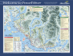
Upper Sunshine Coast Recreation Map
Recreation map of Upper Sunshine Coast in BC. Shows hiking trails, kayaking and canoeing routes...
579 miles away
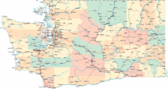
Washington Road Map
Road map of state of Washington
579 miles away
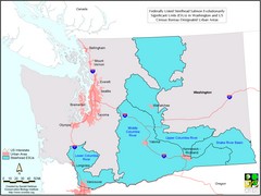
Washington Steelhead Salmon Map
Shows federally listed steelhead salmon evolutionarily significant units in Washington state.
579 miles away
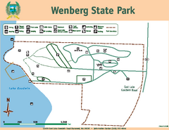
Wenberg State Park Map
Map of park with detail of trails and recreation zones
579 miles away
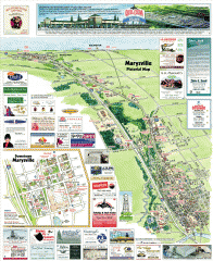
Marysville tourist map
Tourist map of Marysville, Washington. Shows all businesses.
579 miles away
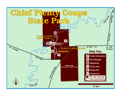
Chief Plenty Coups State Park Map
Simple and clear map of State Park.
580 miles away
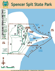
Spencer Spit State Park Map
Map of park with detail of trails and recreation zones
581 miles away
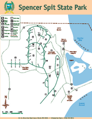
Spencer Spit State Park Map
Map of park with detail of trails and recreation zones
581 miles away

Orcas tourist map
Tourist map of Orcas, Washington. Shows all businesses.
581 miles away
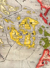
San Juan County Washington, 1909 Map
581 miles away
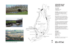
Spencer Island Park map
582 miles away
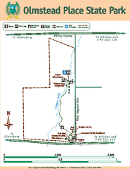
Olmstead Place State Park Map
Map of park with detail of trails and recreation zones
584 miles away
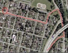
19th and Walnut in Everett, WA Map
584 miles away
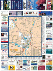
Snohomish tourst map
Tourist map of Snohomish, Washington. Shows all businesses.
584 miles away
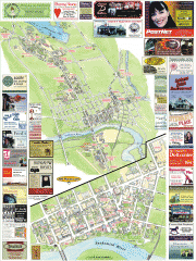
Snohomish tourist map
Snohomish, Washington tourist map. Shows all businesses.
584 miles away
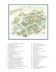
Whitman College Campus Map
Campus map of Whitman College in Walla Walla, WA
584 miles away

Oak Harbor tourist map
Tourist map of Oak Harbor, Washington. Shows all businesses.
584 miles away
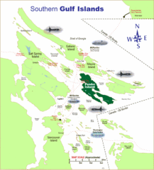
Southern Gulf Islands Map
Map of the region. Shows ferry routes.
585 miles away
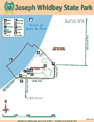
Joseph Whidbey State Park Map
Map of park with detail of trails and recreation zones
586 miles away
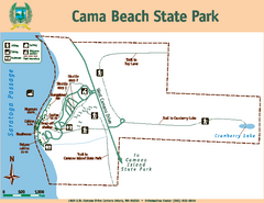
Cama Beach State Park Map
Map of park with detail of trails and recreation zones
586 miles away
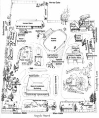
San Juan County Fair Map 2008
Fairgrounds map for the San Juan County Fair, Friday Harbor, Washington
586 miles away
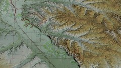
Custer Battlefield Oblique Map
587 miles away
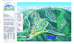
Red Lodge Mountain Ski Trail Map
Official ski trail map of Red Lodge Mountain ski area from the 2007-2008 season.
587 miles away
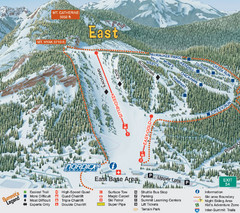
The Summit at Snoqualmie Summit East Ski Trail Map
Trail map from The Summit at Snoqualmie, which provides night and terrain park skiing. It has 30...
587 miles away
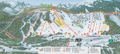
The Summit at Snoqualmie Summit Central Ski Trail...
Trail map from The Summit at Snoqualmie, which provides night and terrain park skiing. It has 30...
587 miles away
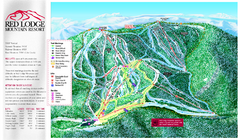
Red Lodge Mountain Ski Trail Map
Trail map from Red Lodge Mountain.
587 miles away
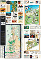
Mukilteo tourist map
Greater Mukilteo, Washington tourist map. Shows all businesses.
588 miles away

San Juan Island tourist map
San Juan Island and Friday Harbor tourist map. Shows all businesses.
588 miles away

Little Big Horn Battlefield National Monument Map
Official NPS map of the Little Big Horn Battlefield National Monument. This area memorializes...
589 miles away
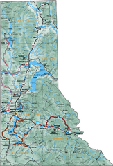
Northern Idaho Road Map
589 miles away

Coupeville tourist map
Tourist map of Coupeville, Washington. Shows all businesses.
589 miles away
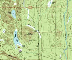
Fuller Mountain Topo Map
Fuller Mountain map with lakes, mountains and elevations identified.
589 miles away
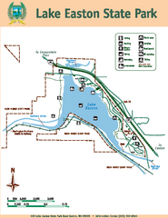
Lake Easton State Park Map
Map of island with detail of trails and recreation zones
590 miles away
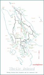
Thetis Island Map
Thetis Island map showing roads, properties, and the community trail.
591 miles away
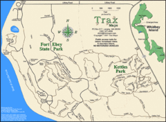
Ft Ebey/Kettle Park Trail Map
Trail map of Fort Ebey Park and Kettle Park, Washington
591 miles away
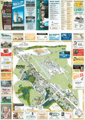
Mukilteo tourist map
Mukilteo, Washington tourist map. Shows all businesses.
591 miles away
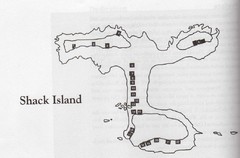
Shack Island Map
Illustration taken from the book "Shack Island" by Ruth English Matson. 2004.
591 miles away

