
Buena Vista Aquatic Recreation Area, Lake Webb...
417 miles away
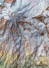
Mt. Rainier Climbing Routes Map
Shows major climbing routes on Mt. Rainier on southwest part of mountain.
418 miles away

California Aquaduct Map in Kern County
The California Aqueduct is the principal water conveyance structure for the California State Water...
418 miles away

Mt. Rainier 3D Print Map
This is a 3D-printed map of the cone of Mt. Rainier in Washington, USA, including Liberty Cap, many...
419 miles away
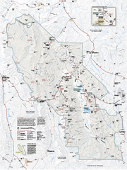
Death Valley National Park map
Official NPS map of Death Valley National Park. Shows all roads (paved and unpaved), 4 wheel drive...
419 miles away
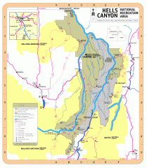
Hells Canyon National Recreation Area Map
Official Forest Service map of the Hells Canyon National Recreation Area. Shows roads, trails...
419 miles away
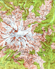
Mount Rainier Topographic Map
Guide to topography and glaciers of Mount Rainier
419 miles away
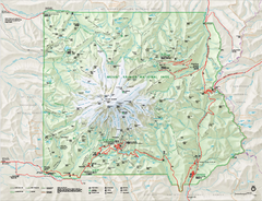
Mount Rainier National Park map
Official NPS map of Mt. Rainier National Park. Shows the entire park and surroundings
420 miles away
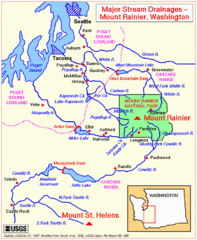
Mount Rainier Major Stream Drainages Map
420 miles away
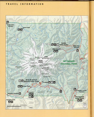
Mount Rainier National Park Map
Guide to the Mount Rainier National Park
420 miles away
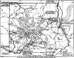
1928 Mount Rainier National Park Map
Guide to Mount Rainier National Park in 1938
421 miles away
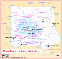
Mount Rainier National Park Vicinity Map
421 miles away
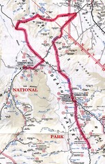
Death Valley Guide Map
422 miles away
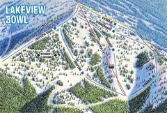
Brundage Mountain Resort Lakeview Bowl Ski Trail...
Trail map from Brundage Mountain Resort, which provides downhill and terrain park skiing. It has 5...
422 miles away
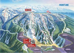
Brundage Mountain Resort Frontside Ski Trail Map
Trail map from Brundage Mountain Resort, which provides downhill and terrain park skiing. It has 5...
422 miles away
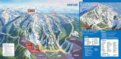
Brundage Ski Trail Map
Official ski trail map of Brundage ski area from the 2007-2008 season.
422 miles away
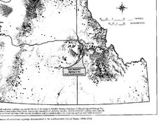
Map of Wolverine Sightings: 1886 -- 1998
422 miles away
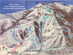
Soldier Mountain Ski Trail Map
Trail map from Soldier Mountain, which provides downhill and terrain park skiing. It has 3 lifts...
422 miles away
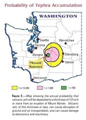
Mount Rainier Probability of Tephra (Ash...
422 miles away
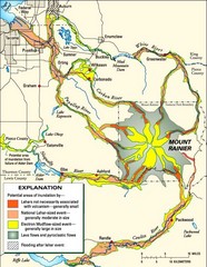
Mount Rainier Potential Lava Flow, Mud Flow and...
Hazard zones for lahars, lava flows, and pyroclastic flows from Mount Rainier. The map shows areas...
422 miles away
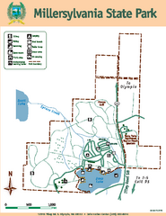
Millersylvania State Park Map
Map of park with detail of trails and recreation zones
424 miles away
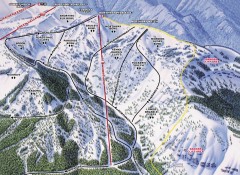
Crystal Mountain Ski Trail Map - Northway Area
Official ski trail map of the Northway area of Crystal Mountain ski area from the 2007-2008 season...
425 miles away
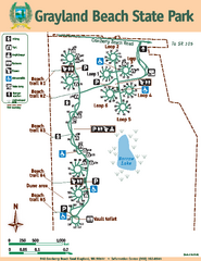
Grayland Beach State Park Map
Map of park with detail of trails and recreation zones
425 miles away
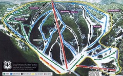
Bluewood Ski Trail Map
Trail map from Bluewood, which provides downhill, nordic, and terrain park skiing. It has 3 lifts...
425 miles away
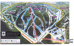
Bluewood Ski Trail Map
425 miles away
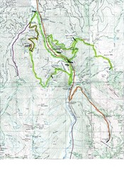
White River 50 Course Map
White River 50 Mile Trail Run
425 miles away

Pierce County Washington Map, 1909 Map
425 miles away
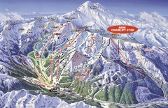
Crystal Mountain Ski Trail Map
Official ski trail map of Crystal Mountain ski area from the 2007-2008 season. 2600 acres of...
425 miles away
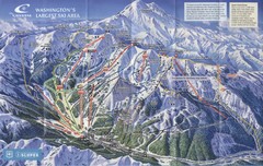
Crystal Mountain Resort Ski Trail Map
Trail map from Crystal Mountain Resort, which provides downhill skiing. It has 10 lifts servicing...
426 miles away
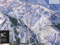
Crystal Mountain Resort Northway Inset Ski Trail...
Trail map from Crystal Mountain Resort, which provides downhill skiing. It has 10 lifts servicing...
426 miles away

Death Valley National Park Map
428 miles away
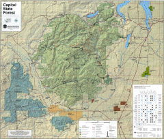
Capitol State Forest Map
Shows all trails in Capitol State Forest and surrounding area, including Lower Chehalis State...
428 miles away
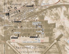
Wendover Air Base Map
428 miles away
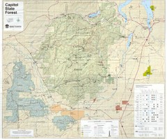
Capitol State Forest Map
428 miles away
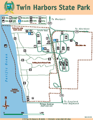
Twin Harbors State Park Map
Map of park with detail of trails and recreation zones
430 miles away
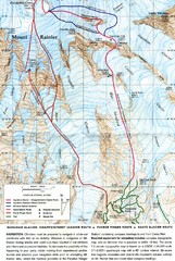
Mount Rainier Topo Map
Map of Mount Rainier Ascent. We ascended the "Muir Snowfield" and then went up the "...
430 miles away
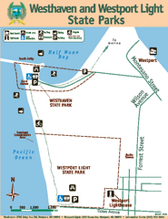
Westhaven/Westport Light State Parks Map
Map of park with detail of trails and recreation zones
432 miles away
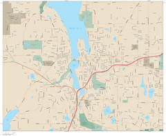
Olympia, Washington City Map
433 miles away

Olympia Map
Map of downtown Olympia's parking and shuttle routes.
433 miles away
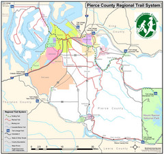
Pierce County Regional Trail Map
County-wide system of trails
433 miles away

