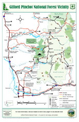
Gifford Pinchot National Forest Vicinity Map
Gifford Pinchot National Forest and surrounding areas including Mt. St Helens.
412 miles away
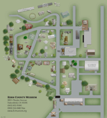
Kern County Museum Map
412 miles away

Bakersfield College Campus Map
Bakersfield College Campus Map. All buildings shown.
412 miles away
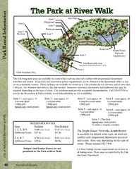
The Park at Riverwalk, Bakersfield California Map
Map of The Park at Riverwalk in Bakersfield California, including the fees for reservable areas.
412 miles away
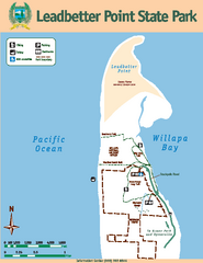
Leadbetter Point State Park Map
Map of park with detail of recreation zones and trails
412 miles away

Lower Kern River Map
This portion of the Kern River extends from the Lower Richbar picnic area to Hart Park. Although...
412 miles away

Lake Ming Area Map
Lake Ming is located 10 miles northeast of Bakersfield, off of Hwy. 178 along Alfred Harrell Hwy...
413 miles away

Town & Country Village Shopping Center in...
413 miles away
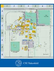
California State University Bakersfield Map
Campus map of California State University Bakersfield.
413 miles away
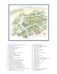
Whitman College Campus Map
Campus map of Whitman College in Walla Walla, WA
413 miles away
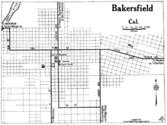
Bakersfield California, 1917 Map
413 miles away

Kern County California Map
413 miles away

Kern County District Supervisor Areas Map
Last Modified 12/13/2005
413 miles away
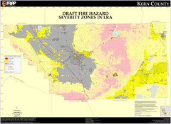
Fire Hazard Severity Zones, Kern County...
Fire Hazard Severity Zones, Kern County California: Local Responsibility Area
413 miles away

Fire Hazard Severity Zones, Kern County...
Fire Hazard Severity Zones, Kern County California: State Responsibility Area
413 miles away

Census Places and Cities in Kern County...
413 miles away

Kern County, 1916 Map
Kern County, 1916 Map, from California Mineral Production for 1919 (with County Maps), Bulletin No...
413 miles away

Kern County Boat Ramps Locator Map
The numbered locations can be found at http://www.boatrampslocator.com/california-kern-county-boat...
413 miles away
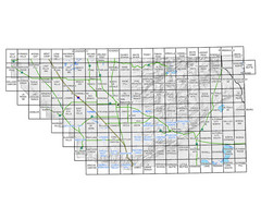
Awareness Floodplain Maps, Kern County Map
The maps labeled in blue have completed Awareness Floodplain Maps. The maps labeled in black are...
413 miles away

Kern County Map
413 miles away
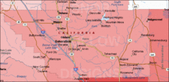
Bakersfield's Location in Kern County Map
413 miles away
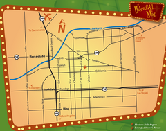
Bakersfield Overview Map
Shows major streets and highways in Bakersfield, CA
413 miles away
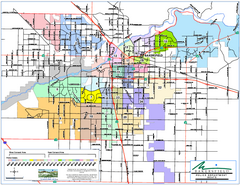
Bakersfield Police Beats Map
413 miles away

Bakersfield California 1889 Map
Map of Bakersfield, CA, showing the first subdivision of lands belonging to J. B. Haggin, 1889
413 miles away

Bakersfield E Zone map
City of Bakersfield Economic & Community Development supports economic diversity, civic growth...
413 miles away
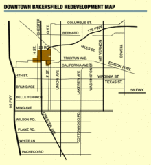
Downtown Bakersfield Redevelopment Area Map
The Downtown Redevelopment Area was established in 1972 and expanded in 1974, 1976, and 1979. It...
413 miles away

Orange Grove RV Park, Bakersfield California Map
413 miles away

Bakersfield City Limits Map
413 miles away
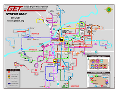
Bakersfield California Bus System Map (G.E.T. Bus)
Entire system map of all routes Golden Empire Transit offers in the City of Bakersfield, California.
413 miles away
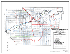
Metropolitan Bakersfield General Plan &ndash...
This map depicts the Circulation Element of the Metropolitan Bakersfield General Plan. This is a...
413 miles away
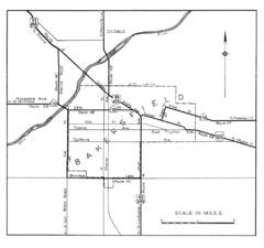
Bakersfield, 1944 Map
Official California State Division of Highways Map
413 miles away
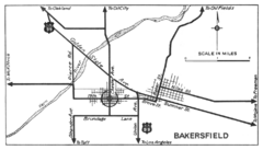
Bakersfield, 1934 Map
Official California State Division of Highways Map
413 miles away
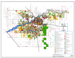
City of Bakersfield Zoning Map
This map depicts zoning for the City of Bakersfield. This map is not the official zoning map for...
413 miles away
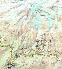
Pinnacle Saddle Trail Map
414 miles away
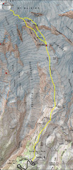
Mount Rainier Climbing Map
Guide to climbing Mount Rainier, Camp Muir Route
415 miles away
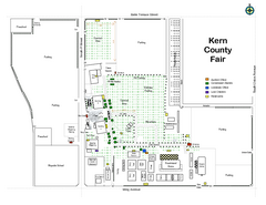
Kern County Fair Map
415 miles away
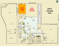
Bakersfield's Auto Swap Meet Map
415 miles away
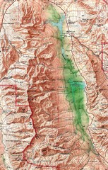
Death Valley National Park Map
416 miles away
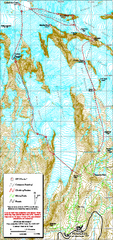
Mount Rainier Paradise Climbing Route map
Map shows all hiking and climbing routes originating from Paradise at 5,400 ft.
416 miles away

Buena Vista Lakes Map
Buena Vista Aquatic Recreation Area is located off of Taft Highway, 23 miles southwest of...
417 miles away

