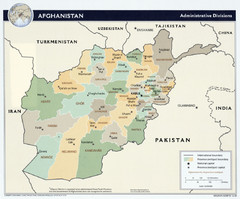
Afghanistan Tourist Map
1347 miles away
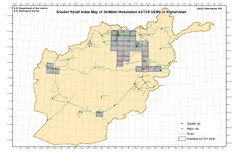
Afghanistan Shaded Relief Index Map
Index Map for the ASTER-Derived 30-Meter-Resolution Digital Elevation Models of Afghanistan.
1347 miles away
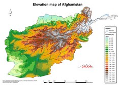
Afghanistan Elevation Map
Elevation map of Afghanistan
1347 miles away
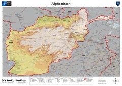
Afghanistan Map
Physical map of Afghanistan. Shows relief.
1347 miles away
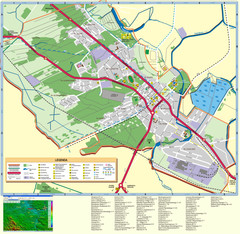
Kocienice_City_Plan-POLAND Map
Plan of City of Kozienice, PL
1347 miles away
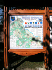
Kozienice_County_Poland_Streetmap.jpg Map
Street Map of Kozienice_County_Poland_Streetmap.jpg is added here because of the interesting wooden...
1348 miles away
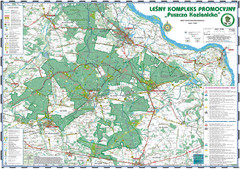
PuszczaKozienicka tourist map
LKP - Lesny Kompleks Promocyjny - PuszczaKozienicka - tourist map Ed. 2010 Projection: UTM/WGS84...
1348 miles away
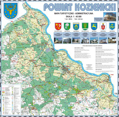
Kozienice_County_wall_map Map
Kozienice County big size wall map Covers all 7 communes: Kozienice, Garbatka-Letnisko, Grabow nad...
1349 miles away
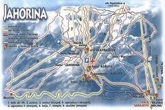
Jahorina Ski Trail Map
Trail map from Jahorina.
1350 miles away
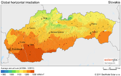
Solar Radiation Map of Slovakia
Solar Radiation Map Based on high resolution Solar Radiation Database: SolarGIS. On the Solar Map...
1350 miles away
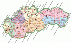
Slovakia Map
1350 miles away
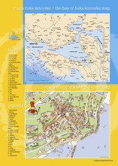
Boka Kotorska Bay and Herceg Novi Tourist Map
Tourist map of the bay of Boka Kotorska and old town Herceg Novi. In Croatian and English.
1351 miles away
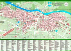
Osijek City Map
City map of Osijek, Croatia. With street index.
1354 miles away
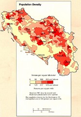
Yugoslavian Population Map
This map clearly marks Yugoslavia's distribution of its population.
1355 miles away
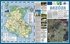
Brzoza_Glowaczow_Poland - 2000 x 1250.PNG Map
Map of Brzoza_Glowaczow_Poland - 2000 x 1250.PNG is special project dedicated to school in Brzoza...
1355 miles away

RadomkaRiver-kayaking Map
Radomka River - kayaking map Checked on field and verified map of Radomka River from Brzoza to...
1355 miles away
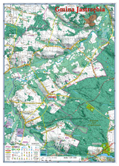
Jastrzebia commune 3D Map
Jastrzebia commune - 3D map Ed. 2010 Projection UTM/WGS84 Scale 1:25 000 Mede with extensive use...
1355 miles away
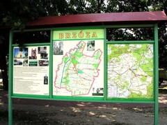
Brzoza_Glowaczow_Poland.jpg Map
Street map of Brzoza_Glowaczow_Poland.jpg - a "heavy-duty" street map after 6 years on...
1356 miles away
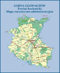
GLOWACZOW commune, PL Map
GLOWACZOW commune map, PL Ed. 2010 All data verified
1357 miles away
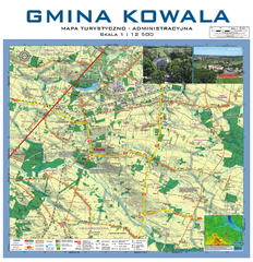
Kowala Commune - near Radom, PL Map
Kowala-Stepocina Commune - the administrative and touristic wall map, scala 1:12500, with 3D effect...
1357 miles away
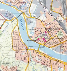
Daugavpils Tourist Map
1358 miles away
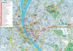
Budapest Hotel Map
Tourist map of Budapest, Hungary. Shows all hotels.
1358 miles away
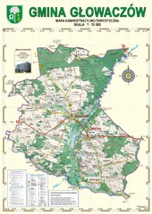
Gmina Glowaczow - Mazovia PL Map
That is a Głowaczów commune / Mazovia PL wall map. Created with use of GlobalMapper...
1358 miles away
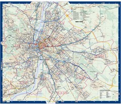
Budapest Public Transit map
1358 miles away
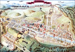
Sarajevo Survival Map 1992-1996
From creator famainternational.com: " Sarajevo Survival Map 92-96 is the ultimate visual...
1358 miles away
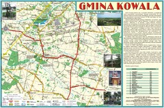
Kowala_Mazovia_poland.jpg Map
Map of Kowala_Mazovia_poland.jpg is a Kowala commune map, created with use of GlobalMapper and...
1358 miles away
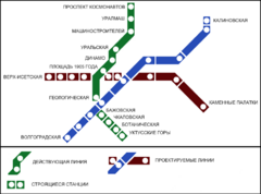
Yekaterinburg Metro Map
Clear map of Yekaterinburg's metro lines.
1359 miles away
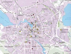
Yekaterinburg City Map
Large and detailed map marking roads and points of interest.
1359 miles away
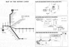
Central European University Metro and Bus Line Map
1359 miles away
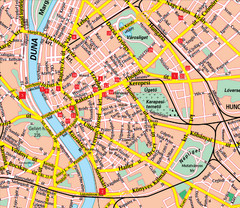
Budapest Street Map
Street map of central Budapest, Hungary.
1359 miles away
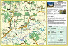
Bartodzieje_Village_Jastrzebia_Poland_streetmap...
Map of Bartodzieje_Village_Jastrzebia_Poland_streetmap.pdf is a street informative map of dimension...
1359 miles away
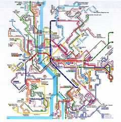
Budapest Public Transportation Map
1359 miles away
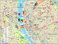
Budapest Tourist Map
Tourist map of central Budapest, Hungary. Shows theaters, museums, post offices, churches, and...
1359 miles away
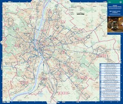
Budapest Night Bus Routes Map
Map of night bus routes in Budapest, Hungary
1359 miles away
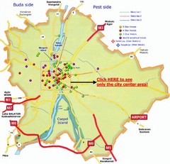
Budapest Hotel Map
1359 miles away
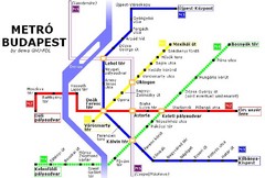
Budapest Metro Map
1359 miles away
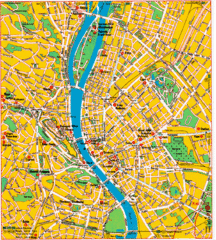
Budapest Tourist Map
1359 miles away
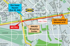
Local Budapest Tourist Map
Stores, main streets and locations in Central Budapest
1359 miles away

