
 Edit this map

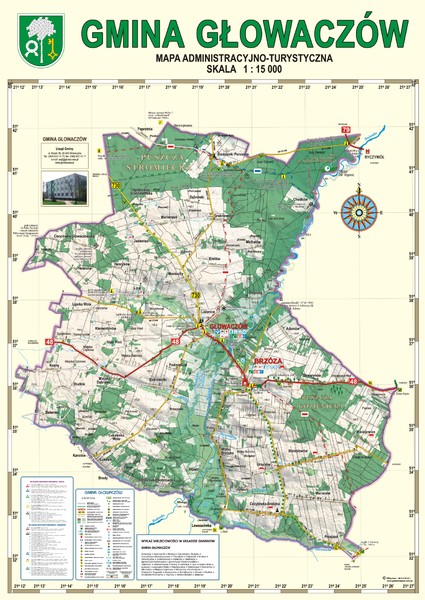
Gmina Glowaczow - Mazovia PL Map
near Glowaczow commune, pl
View Location
That is a Głowaczów commune / Mazovia PL wall map. Created with use of GlobalMapper software, UTM/WGS84 projection, basically 1:80 000 scale, but here enlarged to 1: 15 000. Enjoy

 See more

Nearby Maps
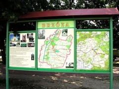
Brzoza_Glowaczow_Poland.jpg Map
Street map of Brzoza_Glowaczow_Poland.jpg - a "heavy-duty" street map after 6 years on...
1 mile away
Near Brzoza, Glowaczow, pl
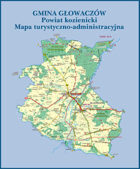
GLOWACZOW commune, PL Map
GLOWACZOW commune map, PL Ed. 2010 All data verified
1 mile away
Near Glowaczow commune, pl

RadomkaRiver-kayaking Map
Radomka River - kayaking map Checked on field and verified map of Radomka River from Brzoza to...
3 miles away
Near Glowaczow commune, pl
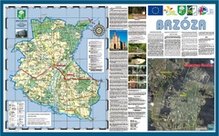
Brzoza_Glowaczow_Poland - 2000 x 1250.PNG Map
Map of Brzoza_Glowaczow_Poland - 2000 x 1250.PNG is special project dedicated to school in Brzoza...
3 miles away
Near Glowaczow, pl
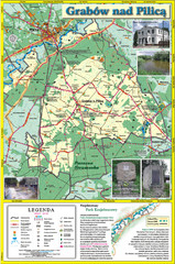
Grabow nad Pilica commune map
Grabow nad Pilica commune map Ed. 2006
8 miles away
Near Grabow nad Pilica commune
Bartodzieje_Village_Jastrzebia_Poland_streetmap...
Map of Bartodzieje_Village_Jastrzebia_Poland_streetmap.pdf is a street informative map of dimension...
8 miles away
Near Jastrzebia, pl

 See more


 Explore Maps
 Map Directory
 click for
 Fullsize

0 Comments
New comments have been temporarily disabled.