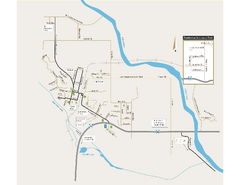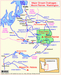
Mount Rainier Major Stream Drainages Map
126 miles away
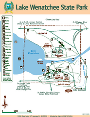
Lake Wenatchee State Park Map
Map of island with detail of trails and recreation zones
126 miles away
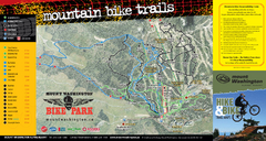
Mt. Washington Resort Summer Mountain Biking Ski...
Trail map from Mt. Washington Resort, which provides downhill and nordic skiing.
127 miles away
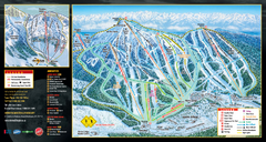
Mt. Washington Resort Ski Trail Map
Trail map from Mt. Washington Resort, which provides downhill and nordic skiing.
127 miles away
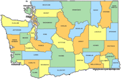
Washington State Counties Map
127 miles away
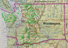
Washington State Road and Recreation Map
127 miles away
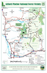
Gifford Pinchot National Forest Vicinity Map
Gifford Pinchot National Forest and surrounding areas including Mt. St Helens.
128 miles away
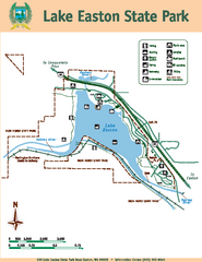
Lake Easton State Park Map
Map of island with detail of trails and recreation zones
128 miles away
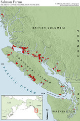
BC Salmon Farms Map
Shows fishfarms in BC around Vancouver Island, highest concentration of fish farms in North Pacific
131 miles away
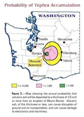
Mount Rainier Probability of Tephra (Ash...
131 miles away
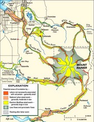
Mount Rainier Potential Lava Flow, Mud Flow and...
Hazard zones for lahars, lava flows, and pyroclastic flows from Mount Rainier. The map shows areas...
131 miles away
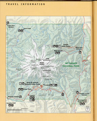
Mount Rainier National Park Map
Guide to the Mount Rainier National Park
132 miles away

Mt. Rainier 3D Print Map
This is a 3D-printed map of the cone of Mt. Rainier in Washington, USA, including Liberty Cap, many...
132 miles away
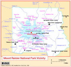
Mount Rainier National Park Vicinity Map
133 miles away
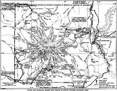
1928 Mount Rainier National Park Map
Guide to Mount Rainier National Park in 1938
133 miles away
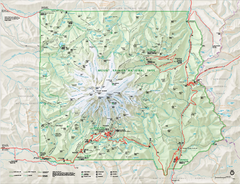
Mount Rainier National Park map
Official NPS map of Mt. Rainier National Park. Shows the entire park and surroundings
133 miles away
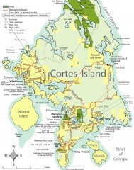
Cortes Island tourist map
Tourist map of Cortes Island in British Columbia, Canada. Shows businesses and roads.
134 miles away
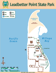
Leadbetter Point State Park Map
Map of park with detail of recreation zones and trails
134 miles away
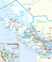
Vancouver Island Park Map
Parks and roads on Vancouver Island.
134 miles away
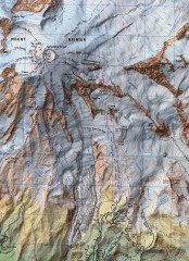
Mt. Rainier Climbing Routes Map
Shows major climbing routes on Mt. Rainier on southwest part of mountain.
135 miles away
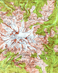
Mount Rainier Topographic Map
Guide to topography and glaciers of Mount Rainier
135 miles away
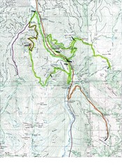
White River 50 Course Map
White River 50 Mile Trail Run
135 miles away
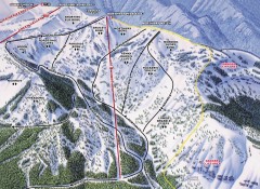
Crystal Mountain Ski Trail Map - Northway Area
Official ski trail map of the Northway area of Crystal Mountain ski area from the 2007-2008 season...
135 miles away
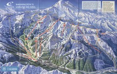
Crystal Mountain Resort Ski Trail Map
Trail map from Crystal Mountain Resort, which provides downhill skiing. It has 10 lifts servicing...
135 miles away
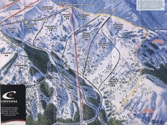
Crystal Mountain Resort Northway Inset Ski Trail...
Trail map from Crystal Mountain Resort, which provides downhill skiing. It has 10 lifts servicing...
135 miles away
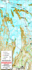
Mount Rainier Paradise Climbing Route map
Map shows all hiking and climbing routes originating from Paradise at 5,400 ft.
135 miles away
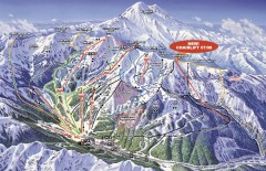
Crystal Mountain Ski Trail Map
Official ski trail map of Crystal Mountain ski area from the 2007-2008 season. 2600 acres of...
136 miles away
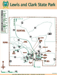
Lewis and Clark State Park Map
Map of park with detail of recreation zones and trails
137 miles away
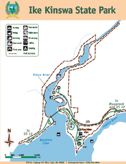
Ike Kinswa State Park Map
Map of park with detail of trails and recreation zones
137 miles away
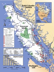
Vancouver Island Road Map
137 miles away
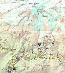
Pinnacle Saddle Trail Map
137 miles away
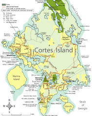
Cortes Island Tourist Map
Places of interest.
137 miles away
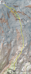
Mount Rainier Climbing Map
Guide to climbing Mount Rainier, Camp Muir Route
138 miles away
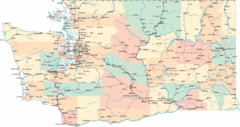
Washington Road Map
Road map of state of Washington
138 miles away
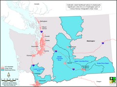
Washington Steelhead Salmon Map
Shows federally listed steelhead salmon evolutionarily significant units in Washington state.
138 miles away
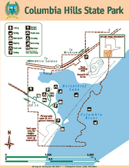
Columbia Hills State Park Map
Map of park with detail of trails and recreation zones
140 miles away
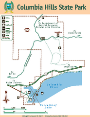
Columbia Hills State Park Map
Map of park with detail of trails and recreation zones
140 miles away
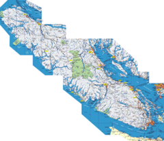
Vancouver Island Map
Detailed map of Vancouver Island, British Columbia. Shows towns, roads, and parks.
140 miles away
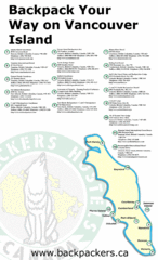
Vancouver Island Backpacking Map
Shows hostels on Vancouver Island, BC
140 miles away

